White Rim
Published:
Context
The White Rim Road is a roughly 100 mile route that circumnavigates the Island in the Sky District of Canyonlands National Park. It was built in the 1950s during the Uranium Boom by the Atomic Energy Commission to provide access for prospectors. The mines along White Rim produced very little uranium and were ultimately abandoned. However, the road construction was not a wasted effort. These days the White Rim is a popular bike and jeep destination.
The National Park Service grants overnight permits for 19 campsites each of which can accommodate up to 15 people and three vehicles. The booking for the campsites is competitive, and while the numbers are not published, some napkin math suggests ~25,000 bikers and jeepers traverse the road every year.
In addition to the overnight folks, day use permits are granted to 50 bikers and 50 vehicles every day.
The White Rim first came to my attention from my parents who rode the loop multiple times in the 1990s in their pre-kid era. In high school, I saw parts of the road while on a backpacking trip near Cathedral Dome, but I was largely ignorant about the route until Mary and I began considering riding the loop in a day over Thanksgiving break of 2024. That year, the weather was rainy and we decided to punt.
Ride
In the fall of 2025, we made plans to return to Durango for Thanksgiving and decided to give the White Rim another go. I planned to ride my Specialized Epic Hardtail which was still outfitted with my bikepacking gear from my summer Tour Divide ride. Mary would ride my dad’s alloy Trek Marlin 7. Between the two of us we carried 12L of water which turned out to be excessive. We also both packed multiple layers and ski gloves.
With the weather looking good, on Monday, November 24th we paid $6 for a White Rim mountain bike day use permit (In retrospect, I think we were actually supposed to purchase two of these) and drove to Moab from Durango with my dad who was going to hike while we biked. The three of us stayed at the Big Horn Lodge which was a startling inexpensive at 52 dollars per night. It had rooms spacious enough to accommodate two bikes without really getting in the way.
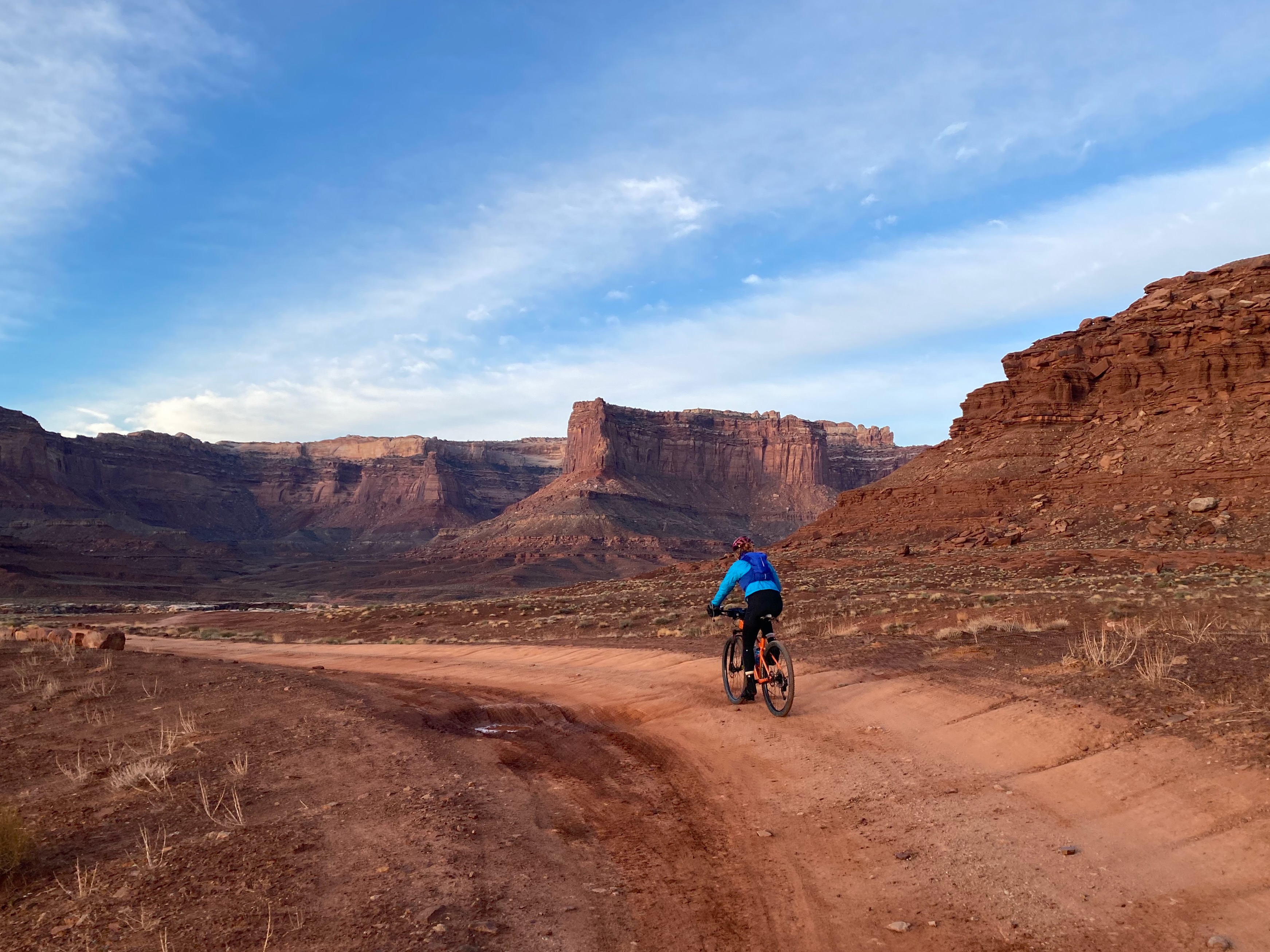
The next morning, we departed Big Horn Lodge a little after 5:30 AM and made it to the top of Shaffer Trail at about 6:30 and started biking at about 6:40.
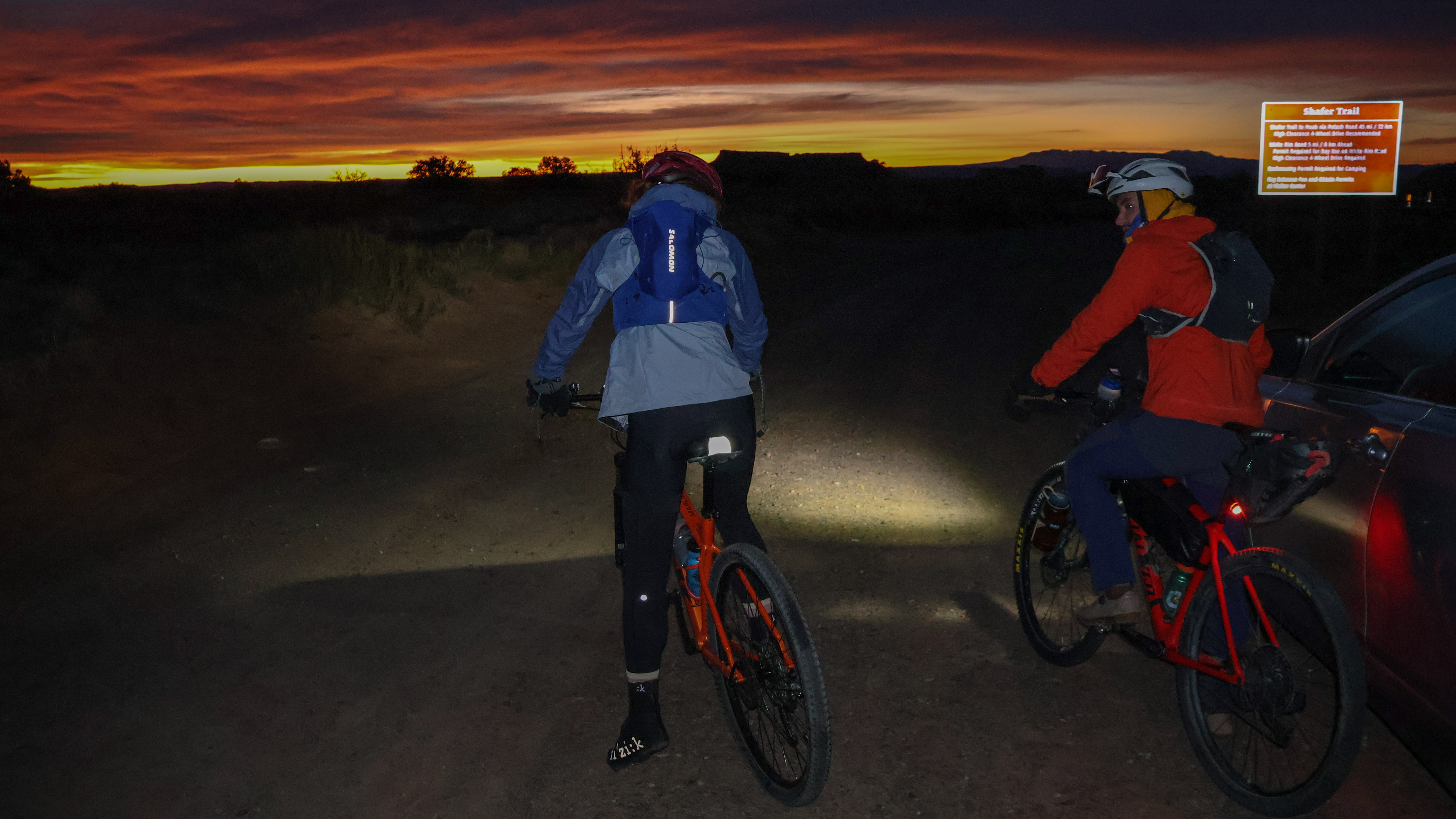 Off we go!
The morning sky was a shade of red and it was light enough we turned our bike lights off after 10 minutes. While planning the trip, we were concerned about getting cold while descending Shaffer Road. However, we had sufficient layers that neither of us had an issue with temperature, and I even started shedding layers before we made it to the bottom of the descent.
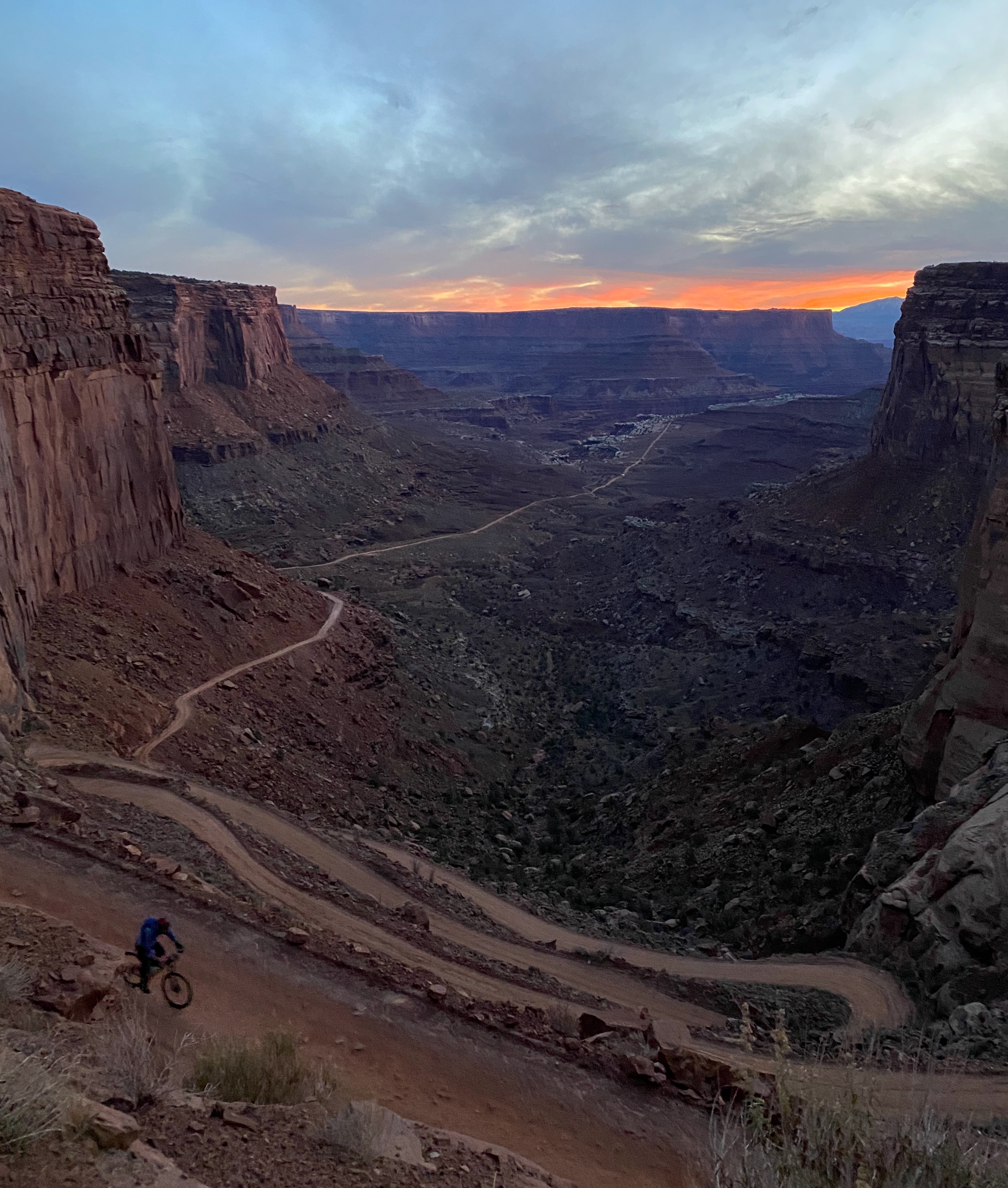 Heading into the desert at sunrise.
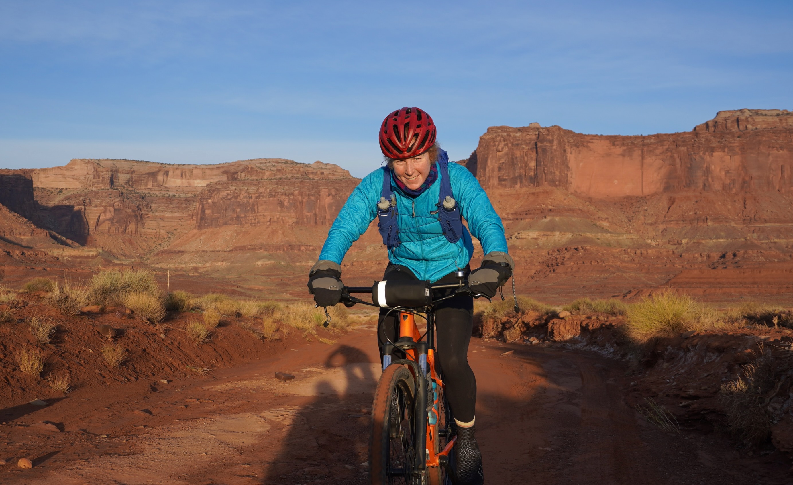 Shortly after sunrise, I struggle to get my shadow out of the photo.
 Easy rolling.
 Vibrant colors in the desert morning caused me to include too many photos from our first hour of riding in this trip report.
Shortly after passing Airport Campground, we bumped into a large group that was a mix of young kids and parents. They were stoked to hear we were doing it in one day. They were bound for Murphy’s Hogback.
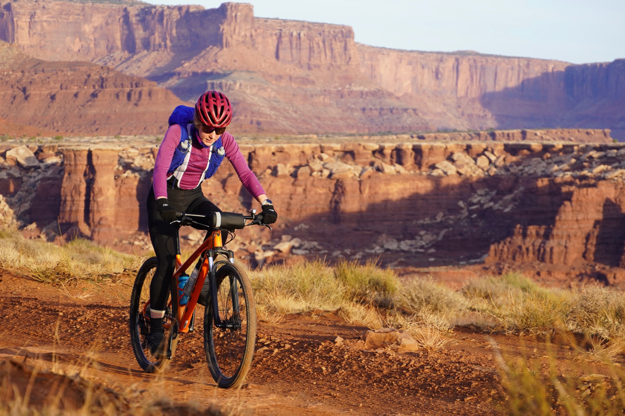
 Looking east towards the La Sals.
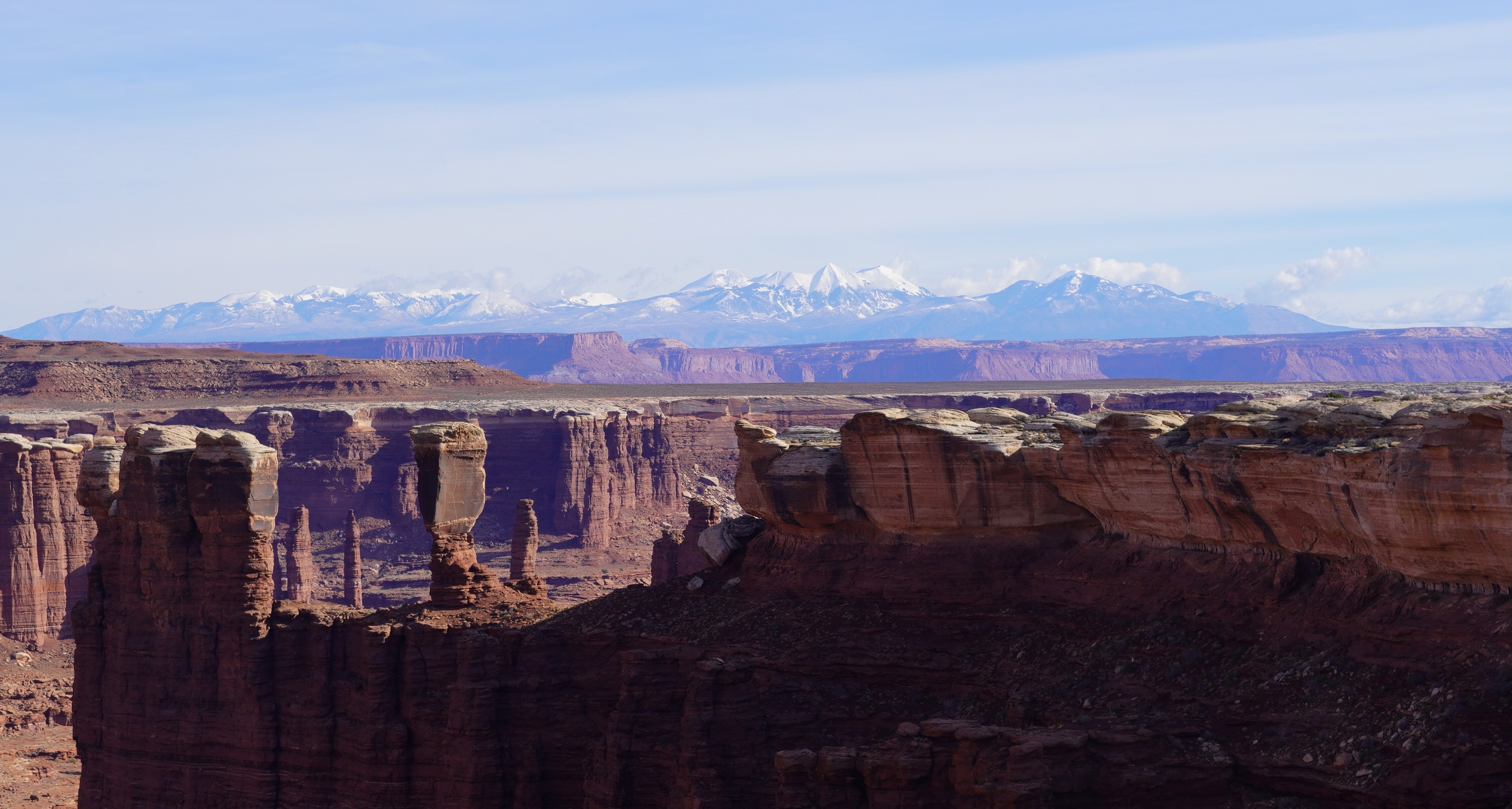
As the trail turned northeast, we got some nice views of the Maze District in the distance.
The climb up Murphy’s Hogsback was sufficiently steep that we hiked the whole thing. We ate lunch at the top consisting of PB&J and Lays potato chips while reflecting that we were glad we were on bikes and not in a vehicle.
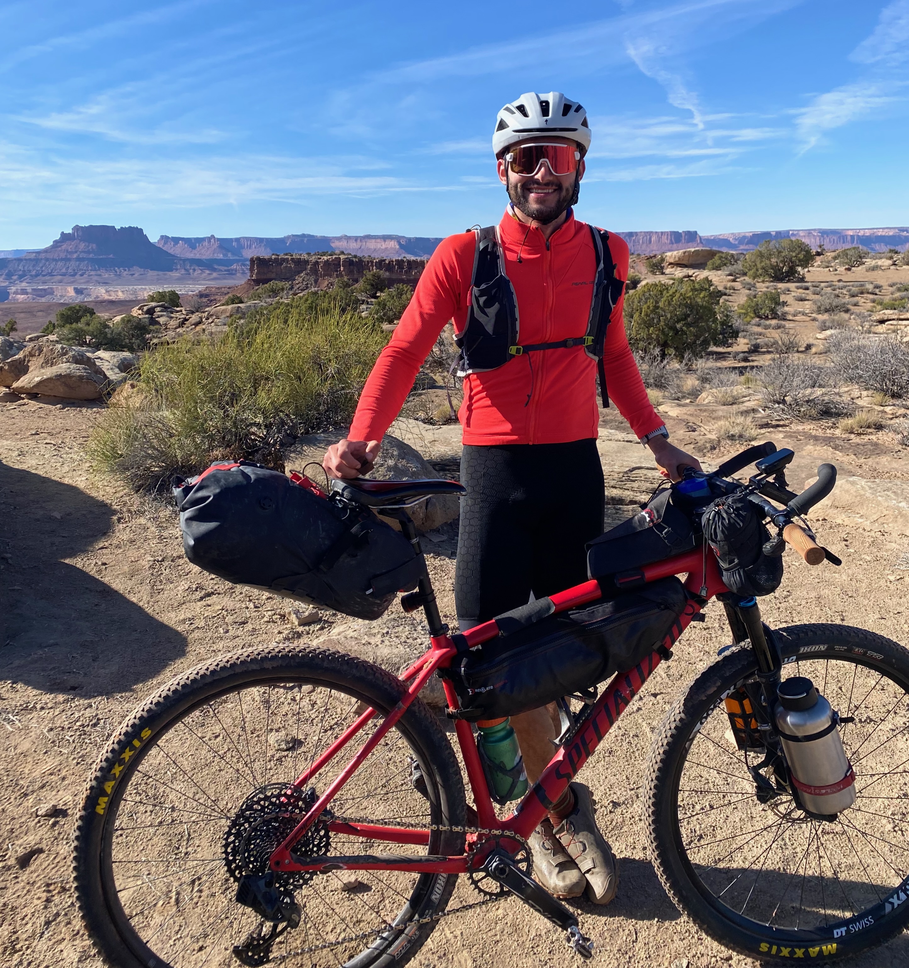 The sole photo of me to show off my beard and bike setup.
From Murphy’s Hogsback we had easy rolling past Candlestick and Potato Bottom.
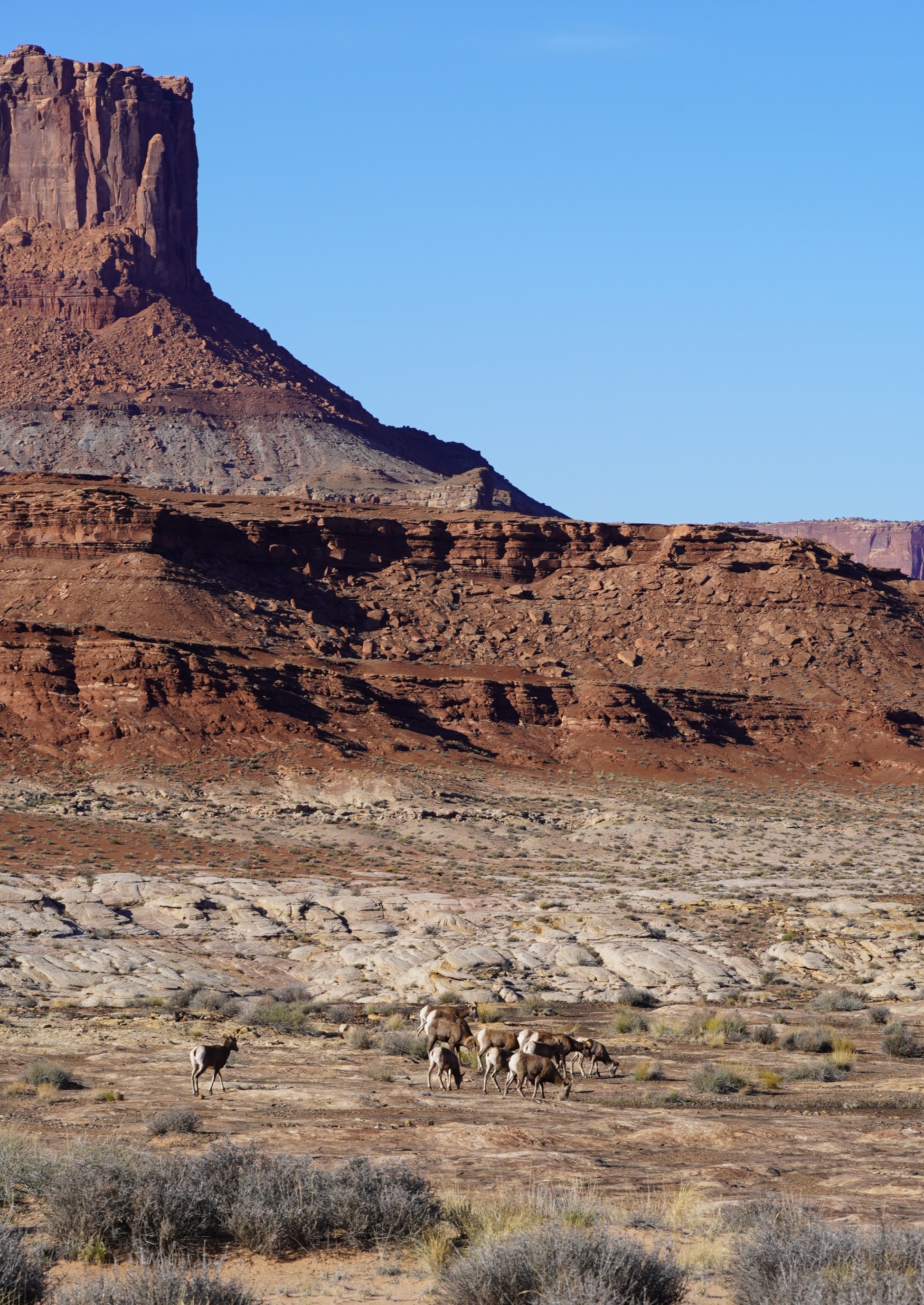 Somewhere near Potato Bottom, we saw a a group of bighorn sheep nibbling on some desert treats.
After passing Potato Bottom, we had a steep climb and then descended towards the turn off to Hardscrabble Canyon. The trees along the Green River still held some of their yellow leaves, but the fall color show was largely over.
From Hardscrable, we passed the Upheaval Canyon turnoff and biked through some sandy sections, the only sand we saw all day. As we passed Taylor Campground, we got some very friendly waves from another multigenerational group. Before long, we had made it to the turn off up the Mineral Bottom Switchbacks!
After a short snack and fiddling with a bike seat adjustment, we began slowly climbing the Mineral Bottom switchbacks. About half way up, I heard a noise that made me look around. What I had heard was the sound of a base jumper’s parachute snapping open. I watched him swing back and forth alarmingly close to the cliff and then disappear from view. Once we were a switchback or two higher, I took a snap of his buddies who appeared to debating whether they wanted to follow the first guy.
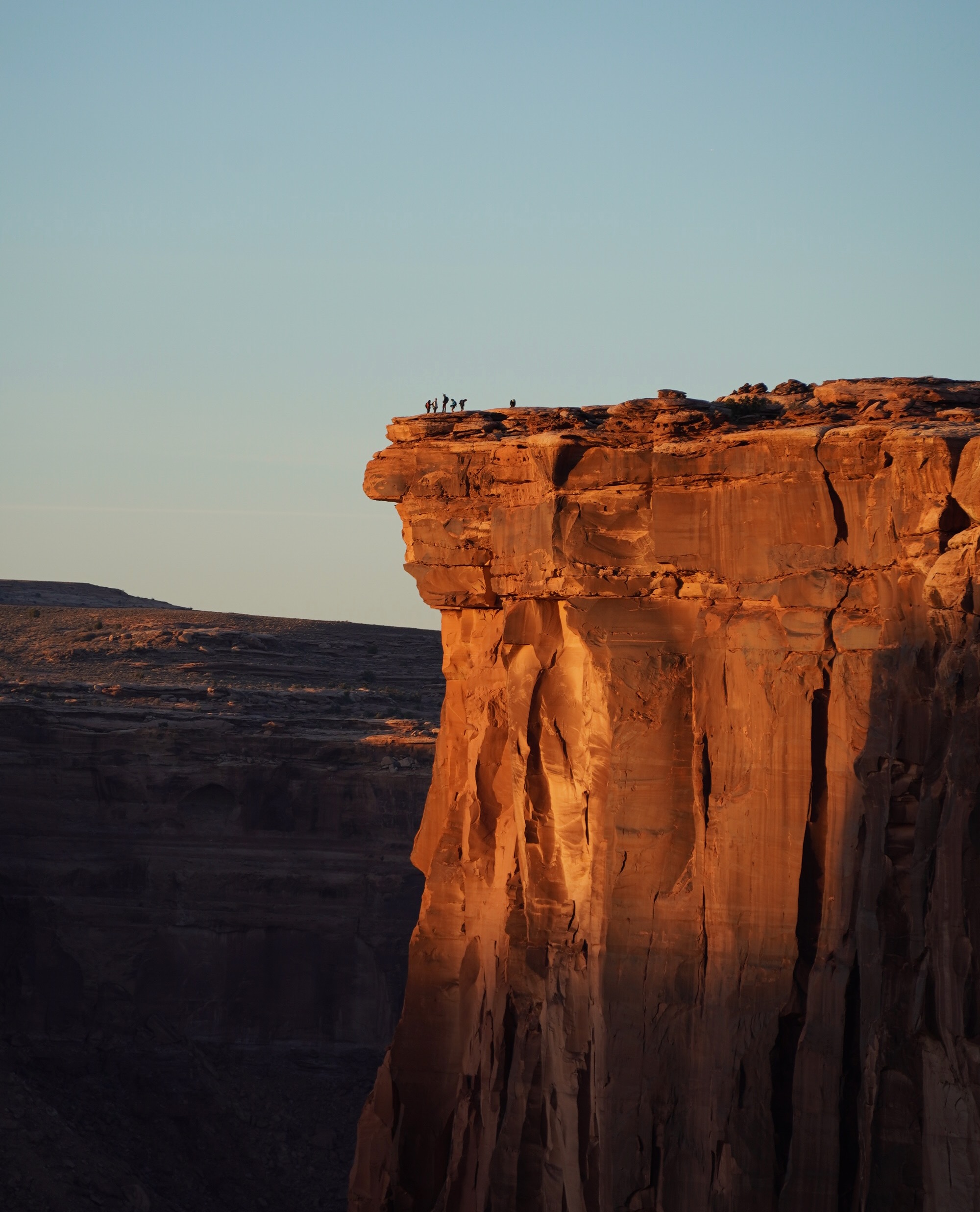 Base jumpers considering their life choices.
A second guy eventually jumped but unfortunately the first I heard about it was the opening of his parachute, and he quickly disappeared from view.
Upon making it to the top of the Mineral Bottom Switchbacks the road became substantially more gentle. We caught a couple rays of light before the sun went behind the skyline. Darkness descended about 30 minutes after sunset, so we stopped to don our warm layers and turn bike lights on. In retrospect, I should have put more warm layers on. During the last 45 minute ride my fingers and toes slowly got colder but I figured we were so close it didn’t make sense to stop and pull my ski gloves out.
We made it to the intersection of Mineral Bottom Road and Island in the Sky Road at about 6:30 PM. Dad was waiting for us. Excellent day!
Takeaways:
- We ended up drinking about 6L between the two of us. We brought twice that amount. Could have carried less water.
- The Rockbros light mount I used for my dad’s borrowed bike was meant for wider handlebars. It rattle loose with the washboard and it was at max tightness so I resorted to ducttape which did not work very well.
- The White Rim would be a terrific route to do with family, either little kids or parents.
Map:
Leave a Comment
Your email address will not be published. Required fields are marked *