Tour Divide Part 4: Salida → Durango
Published:
Day 23: Pass above Salida → Upper Dome Reservoir (95 miles, 6000 feet)
Today was the 4th of July! We started the day with a quick 10-mile descent to Salida.
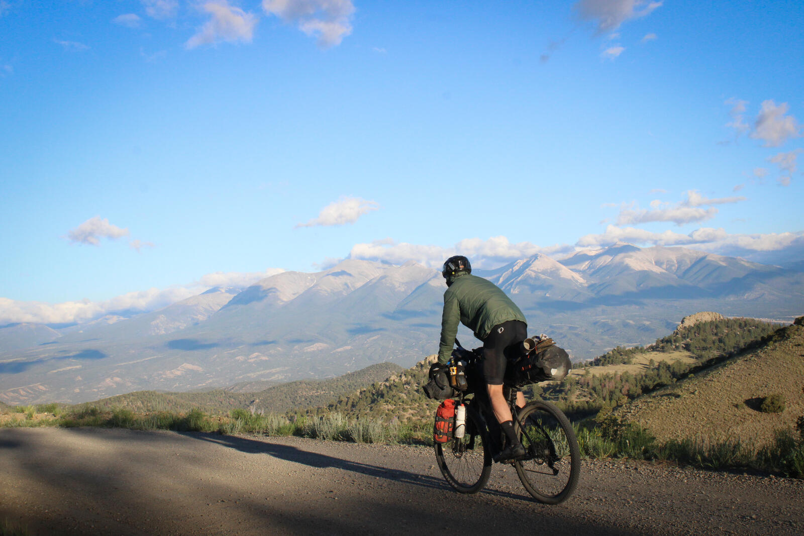 A chilly descent.
In Salida, we purchased breakfast and supplies at the local Safeway. We ate breakfast in the town park, which is next to the Arkansas River, and watched the locals surf the artificially constructed standing wave.
After Salida, the first part of the day was one of our least fun. We had a tough headwind towards Poncha Springs, and then the climb up towards Mears Junction was busy with cars and at times the shoulder simply disappeared. At one point, we passed a large pickup truck pulled onto the shoulder that had overheated. As we biked by, we got sprayed by hot coolant fluid. “God dammit!” I exclaimed, more from irritation than discomfort.
Things improved once we turned up Marshall Pass, and we had a very pleasant climb to the summit of the pass at 10,800 feet. Near the summit, we talked with a group of cyclists who were embarking on the “Don” ride. We chatted with the group and learned that every 4th of July for 28 years, a crew of cyclists gathers in Don McClung’s driveway in Salida at 4:20 am to attempt to finish “The Don Ride,” which goes up to the top of Marshall Pass and then loops back towards Salida.
We descended from Marshall Pass, which was pleasant enough except I got a bloody nose and spent much of the descent trying to stop the bleeding with the same rag I used to grease my chain. We ate lunch at Tomichi Creek Trading Post. The cook told us that the Tour Divide race leader, Robin, had stopped in two weeks prior and ordered four hamburgers!
After lunch, we battled more headwind until turning further south, at which point the wind became more of a crosswind. We camped next to the Upper Dome Reservoir, which was empty of other campers except for one group of 4th of July revelers. Fortunately, they entered their RV and turned off their generator once the sun set.
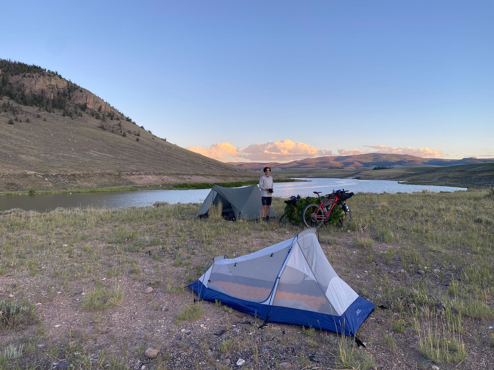 Camped above Upper Dome Reservoir.
Day 24: Upper Dome Reservoir → Ten miles past Del Norte (90 miles, 5300 feet)
From Upper Dome Reservoir, we had a straightforward half day of cycling to Penitente Campground, where we ate lunch and filled up on water. From there, it was a short, sandy ride to Del Norte.
At the local Lowe’s, we purchased dinner and snacks, and then spent most of the afternoon in the Del Norte public park next to the Rio Grande River.
The park had shade, 110V outlets to charge batteries, and generally terrific vibes. I went for a swim in the Rio Grande and had a little kid come up to me and exclaim: “Sir! Sir! Sir, you have terrible tan lines.” I thanked him for noticing and assured him they were not easily come by.
I chatted with my dad, who reminded me that as kids we had spent time playing in the same park Ronan and I were now sitting in. It was fun to be getting close to home!
At about 7:30 we continued riding and made it about 10 miles before the sun set and it started to get dark. In retrospect, we should have left town a little bit earlier because we camped in a bit of a subpar location when there were nicer spots up the road that we just didn’t have time to reach.
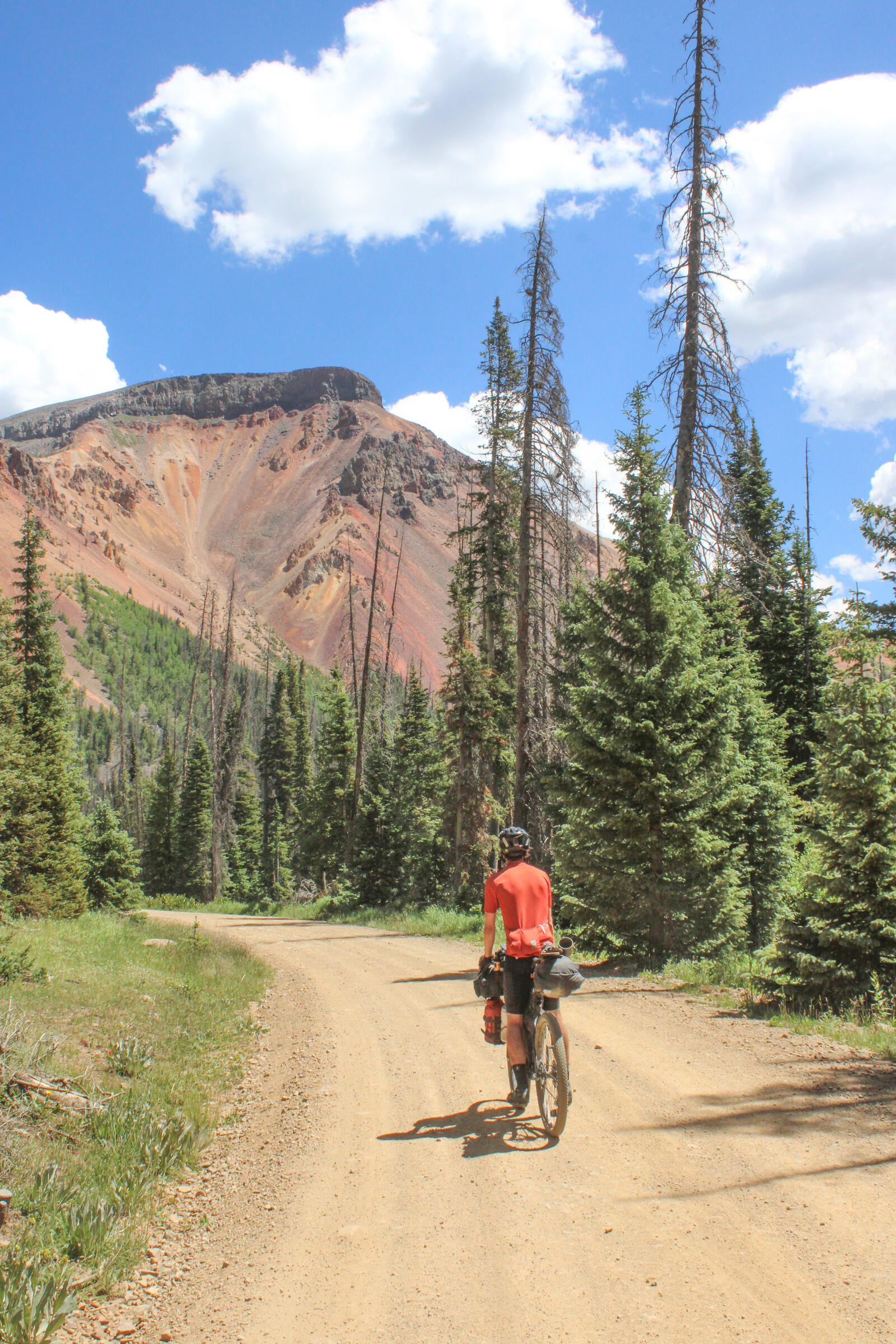
Day 25: Ten miles past Del Norte → Cumbres Pass (74 miles, 7700 feet)
From our campsite, we immediately launched into a long climb that took us up to the 12,000-foot summit of Indiana Pass and a Superfund site. It was our first time since entering Colorado to be rolling along above treeline, and it was a very scenic road.
We made it to Platoro, CO for lunch and had very tasty hamburgers. As was our habit we hung out for a while in the shade; Ronan washed his feet in the Conejos river and I wrote a postcard. While we were hanging out some various bikepacking characters rolled up: First a fellow named Zac showed up who we had last seen in the Tetons. He and his friend showed up on the inside of a handsome F150 pickup truck. Apparently, they had met up with a friend in Salida who had loaned them her truck for the rest of the ride. Zac relayed to us that one of them would drive the truck while the other would pedal; however, when they showed up to Platoro they both arrived in the cab and both bikes were in the bed.
Next, Dylan, the Kiwi rolled in. We had not seen him since Williams Forks and assumed he was well ahead of us. That was not the case. We learned from Dylan that his riding partner had gotten burned out on the ride and thrown in the towel. However, Dylan was still pressing on with the plan to make it to New Mexico and bomb paved roads all the way to Mexico.
After Dylan, Dan showed up, a sour old fellow who was always unhappy about something. He joined us at our lunch table and we shortly after decided our afternoon break had been long enough and got on our bikes and followed Dylan down the Conejos valley.
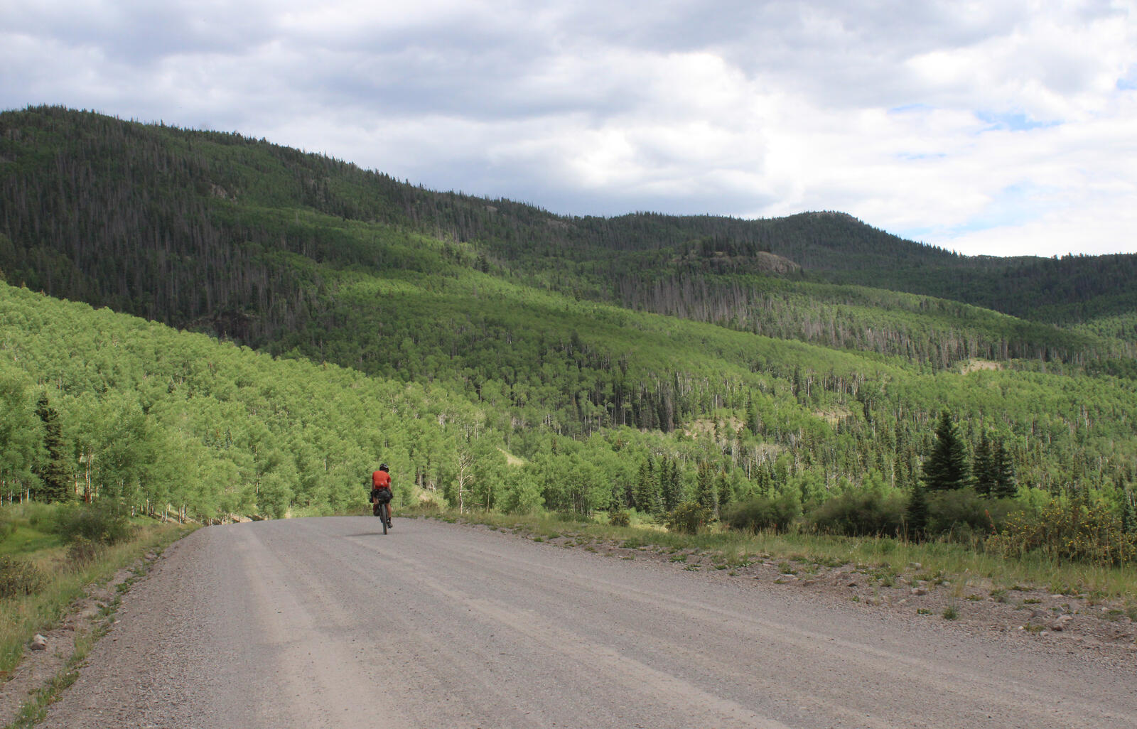 Down the valley.
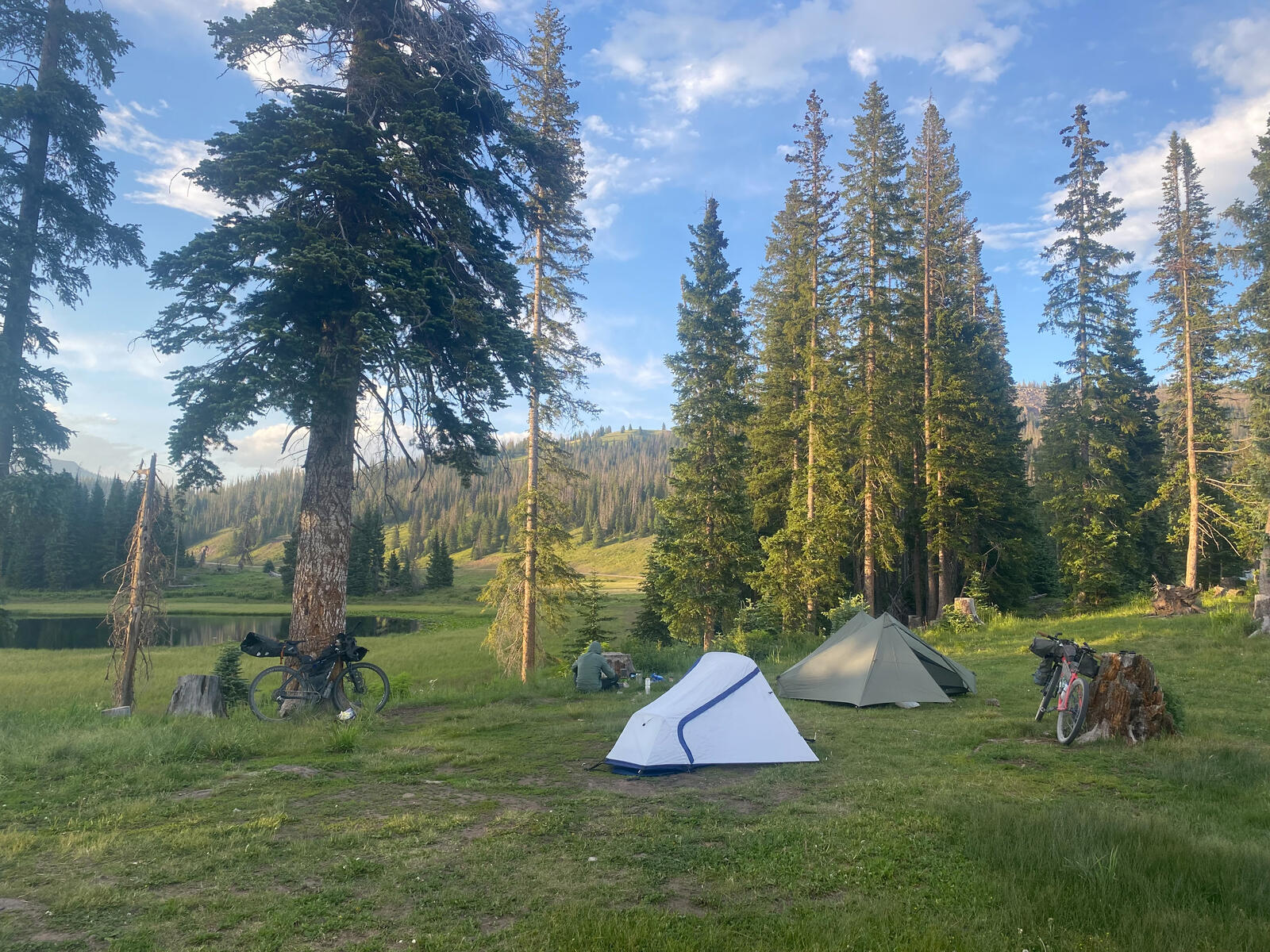
Once we hit the paved road, we turned right and biked on pavement all the way to Cumbres Pass where we camped next to the Cumbres-Tolec scenic rail station. Only 60 years ago, the narrow gauge railway we camped next to could have taken us all the way to Durango! Now it is reduced in scale to only operate between Chama, NM and Toltec Pass.
Day 26: Cumbress Pass → Navajo Lake (87 miles, 3500 feet)
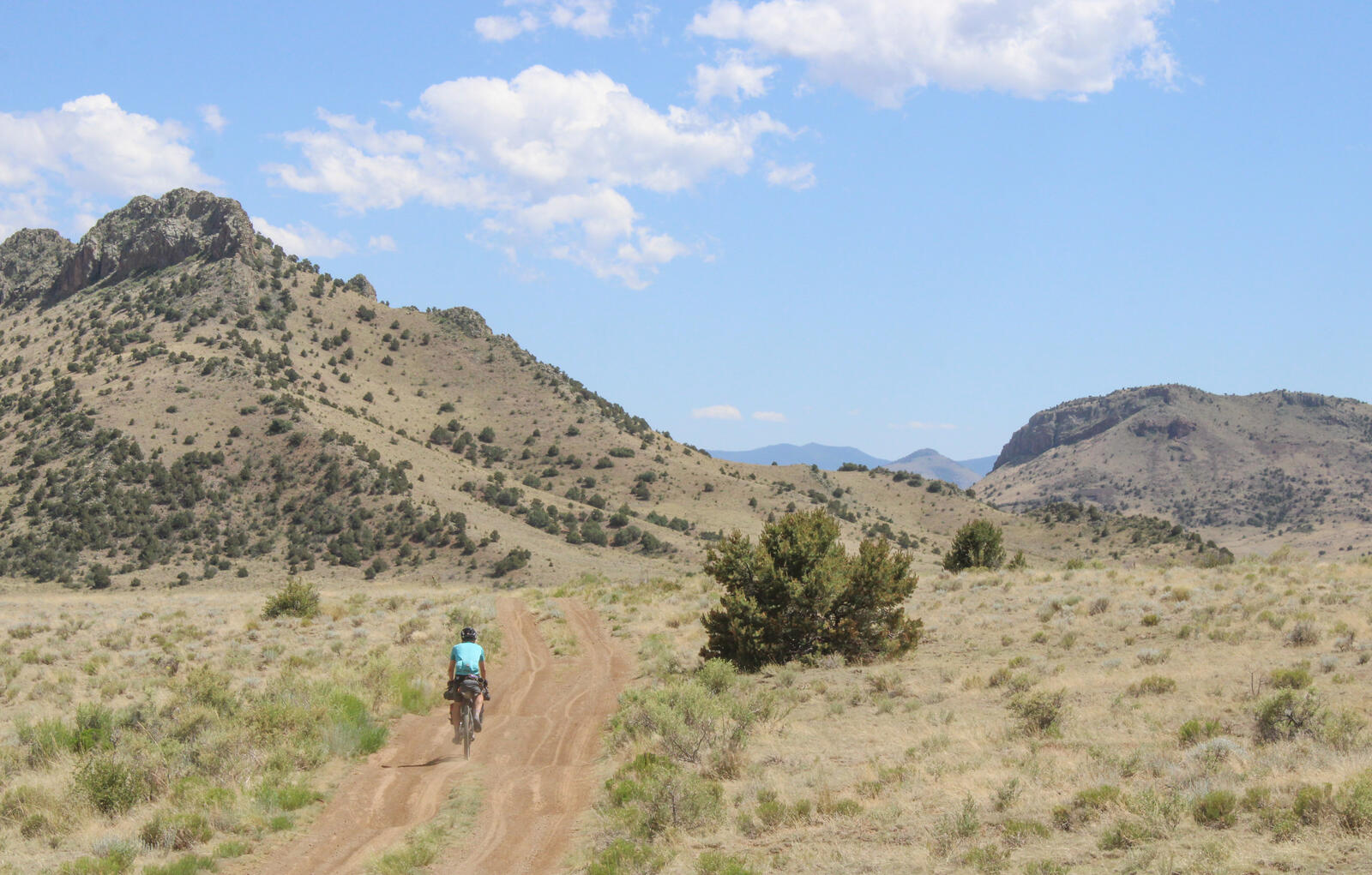
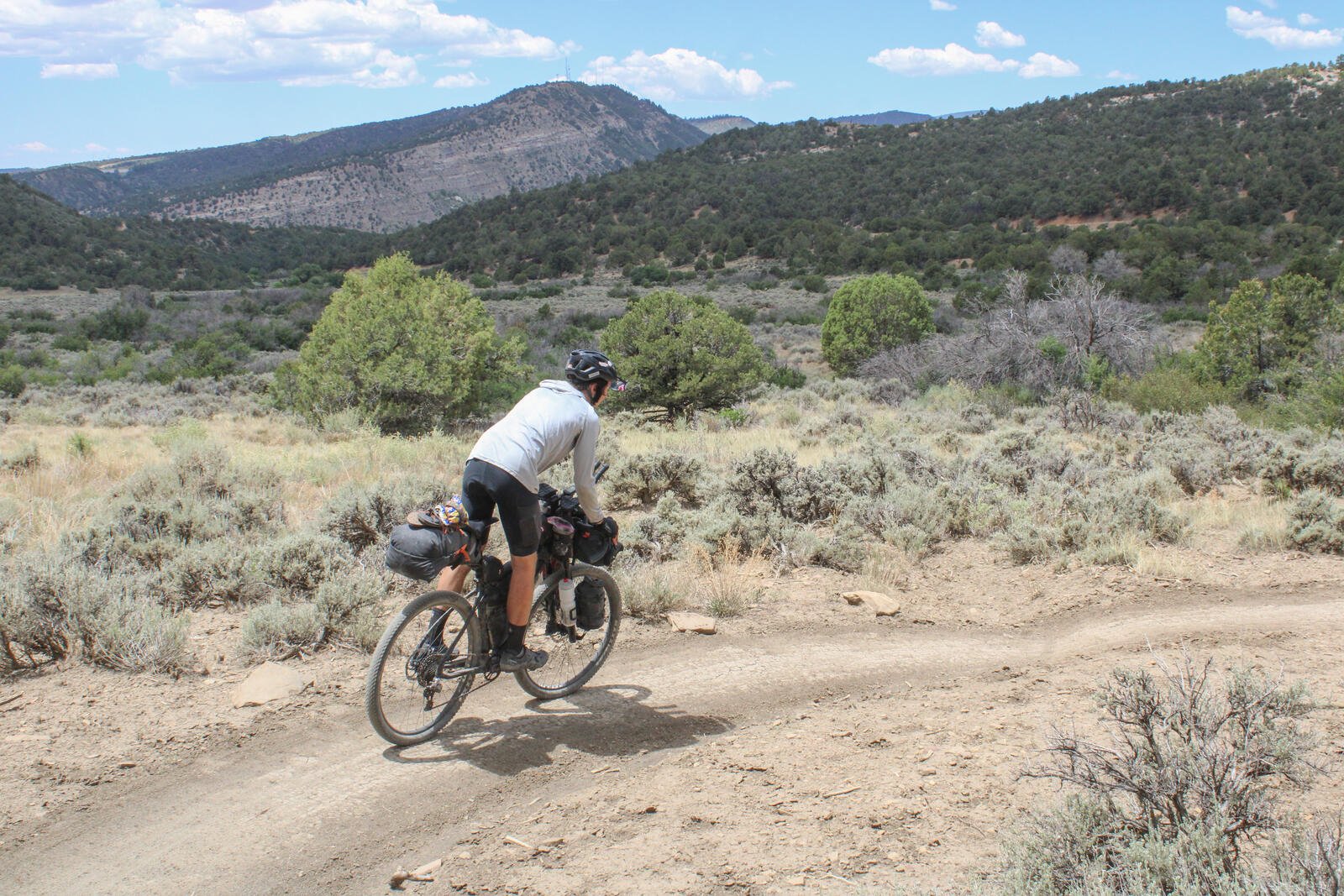
We started the day with a chilly and fast descent down to Chama New Mexico. Arriving in town we stopped at a local coffee shop to buy coffee and breakfast. Breakfast complete, we then resupplied at the local Lowe’s and headed back towards Colorado through the Edward Sergent Wildlife Management area. We were now off the Tour Divide route and simply following Strava’s suggestion of the best way to go from Chama, NM to Durango, CO primarily on dirt.
 The scenic Edward Sergent Wildlife Managment area.
We hit two barbed wire fences around the border of NM/CO. We crossed over both of them without seeing any no trespassing signs. However, after pedaling another couple of miles we arrived at another barbered wire fence with a no trespassing sign on the far side. Already criminals, we concluded our best course of action was to pass our bikes and clamor over this fence as well. Logically, because there was trespassing sign on the far side that implied that once we made it over the fence we would be law abiding citizens again!
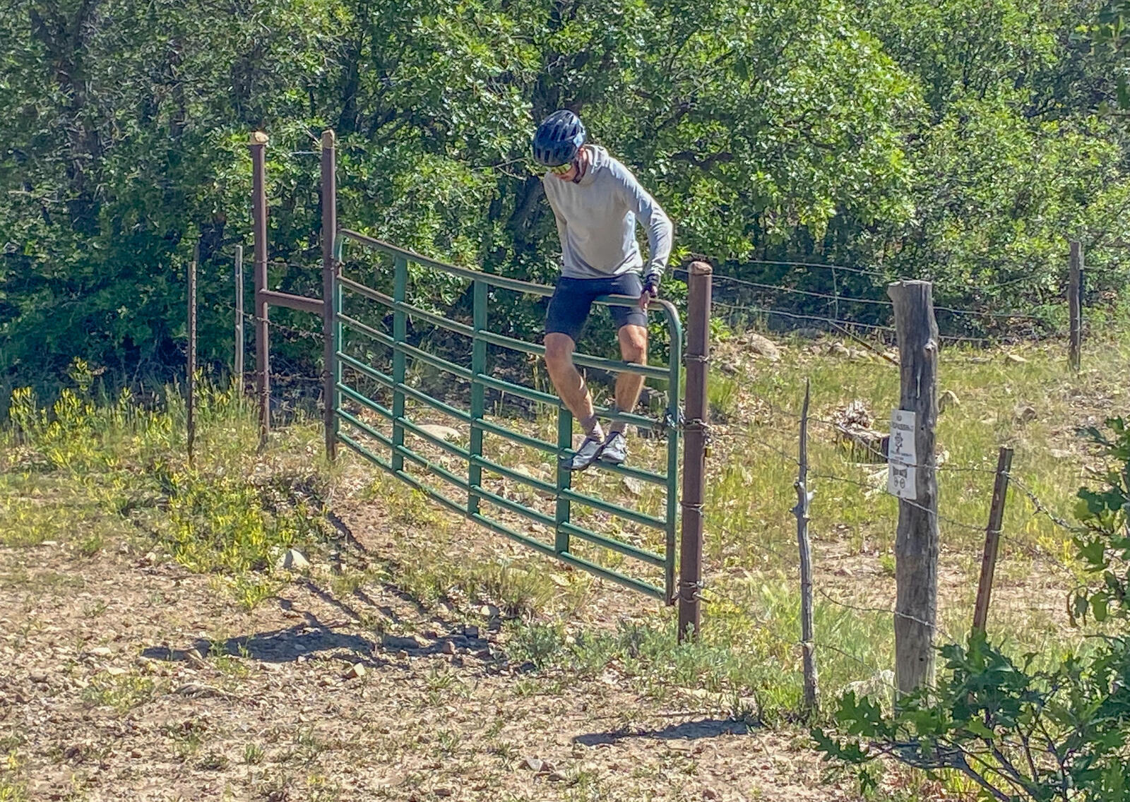 Two wrongs make a right as they say.
After this third, barbed wire hop the roads slowly improved and became more mainstream. Shortly thereafter we got on a road that ran along the San Juan River and followed it all the way to Lake Navajo. Periodically we could see the narrow gauge railroad relics as the route we followed was roughly the same route followed by the original Chama to Durango narrow gauge line.
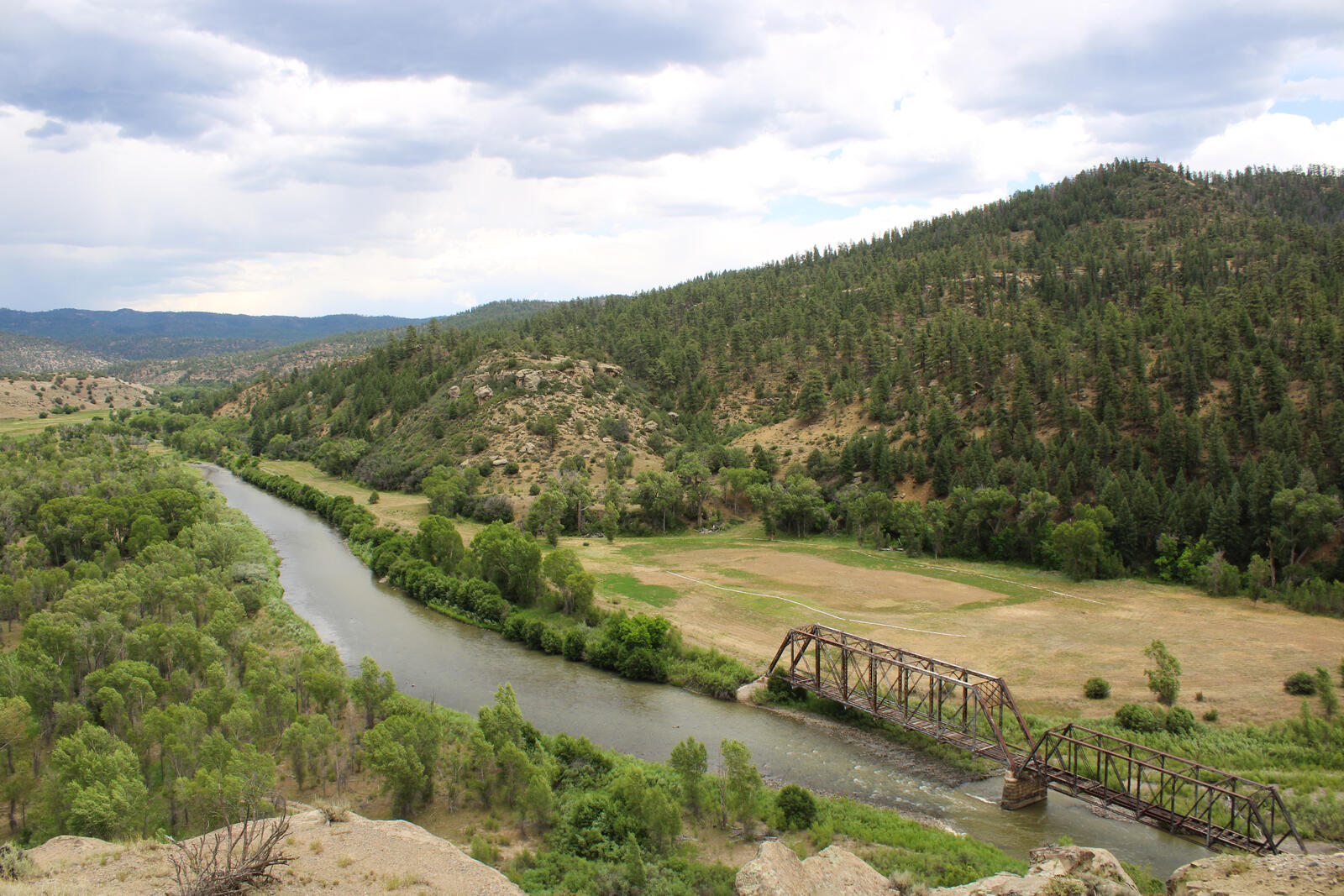 An old train bridge across the San Juan River. Too bad the train is not still running!
We made it to Navajo Lake at about 3 PM. It was a pretty hot day, so we purchased snacks at the gas station and hung out in the shade next to the Arboles Public Library.
As the sun was getting lower, we pedaled down to Windsurf Campground on the shore of lake Navajo and had a pleasant last evening of our bikepacking trip.
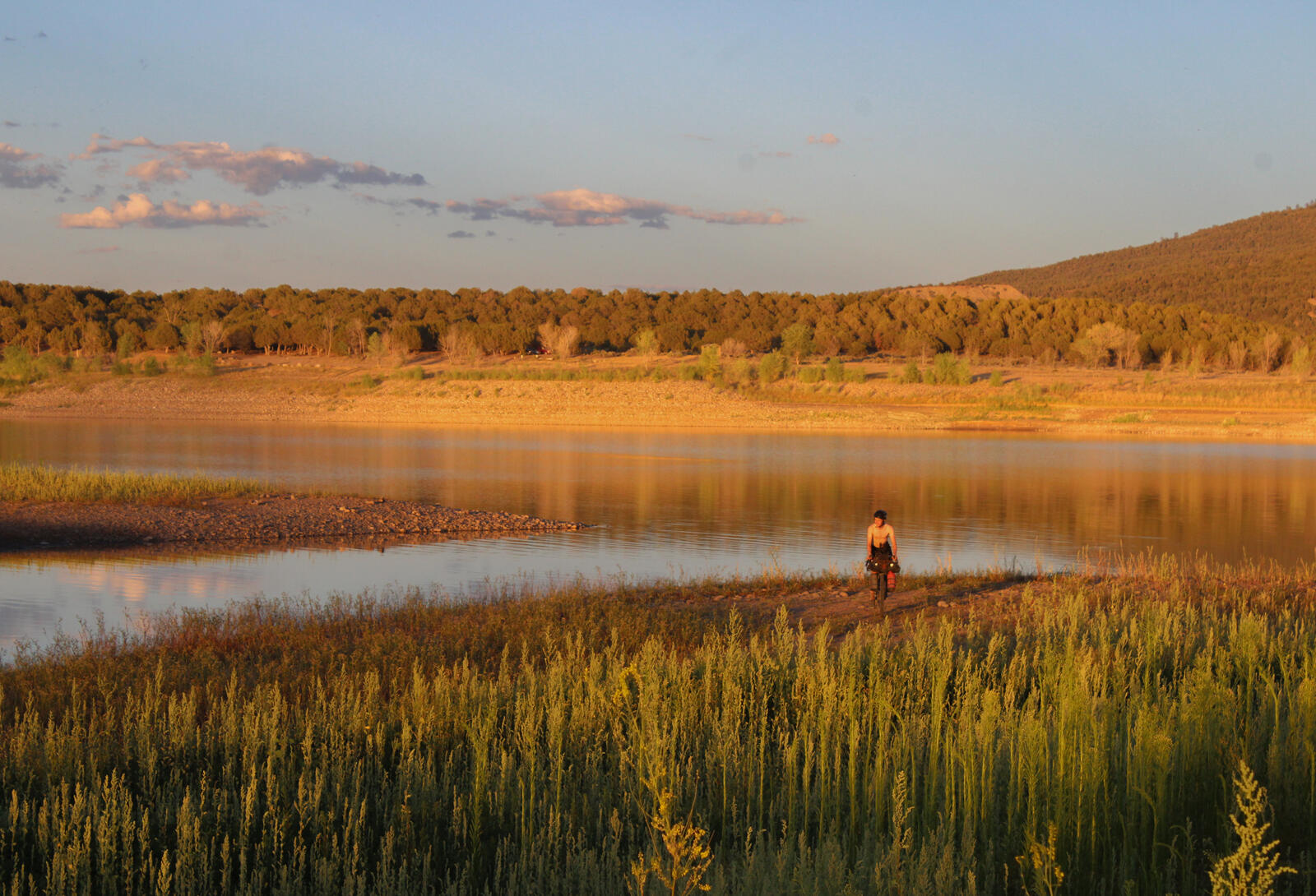 Ronan pedals back to camp after an evening dip.
Day 27: Navajo Lake → Durango (57 miles, 4700 feet)
Last day of our bike ride! We started early at about 7 or so and made it to Rise and Shine Coffee Shop in Ignacio for breakfast burritos at about 10:30! A lot of the riding today was along rolling dirt roads through rural Southern Colorado. We approached Durango from the southwest side and came into town via Horse Gulch and Telegraph trail. The climb and descent were steeper than I imagined!
 Ronan descends Telegraph.
We stopped in at Bread to buy lunch and write some post cards that the Visit Durango office gave us for free! We departed Bread right as they were closing at 2 PM and biked the bike trail north to the high school and then up past Needham to my parents house! Home sweet home!
Leave a Comment
Your email address will not be published. Required fields are marked *