Tour Divide Part 3: Pinedale → Salida
Published:
Day 17: Parking lot of WY 353 → most of the way to Wamsutter (125 miles, 7000 feet)
We woke up to a whipping tailwind that sped our ride to Atlantic City.
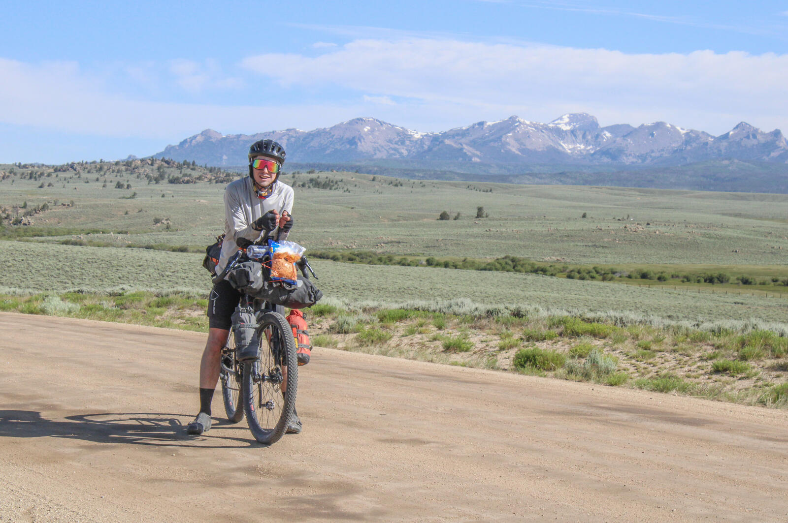 Ronan poses with the Wind River Range in the background.
Arriving at 12:30, we ate lunch at the Atlantic City Mercantile. Our original plan had been to have another afternoon siesta and start in on the Great Basin in the evening before the heat became too oppressive.
However, there wasn’t a great place to hang out in Atlantic City and we had a tailwind, so we began our Great Basin crossing at 3 PM. Both Ronan and I carried about 6 L of water. The first half of the Great Basin was largely east. The wind was coming out of the west and we flew. At times, we would be on the slightest of downhills, spinning along at 20 mph without even pedaling.
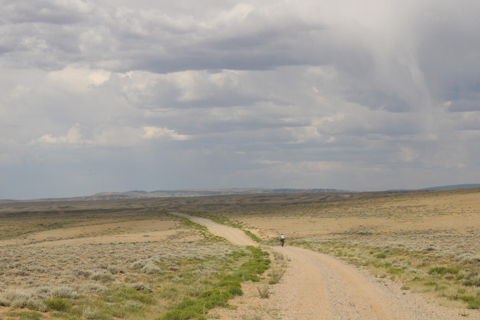 Ronan disappears into the basin as I pull my camera out.
As the route turned more southward, our tailwind became an annoying crosswind.
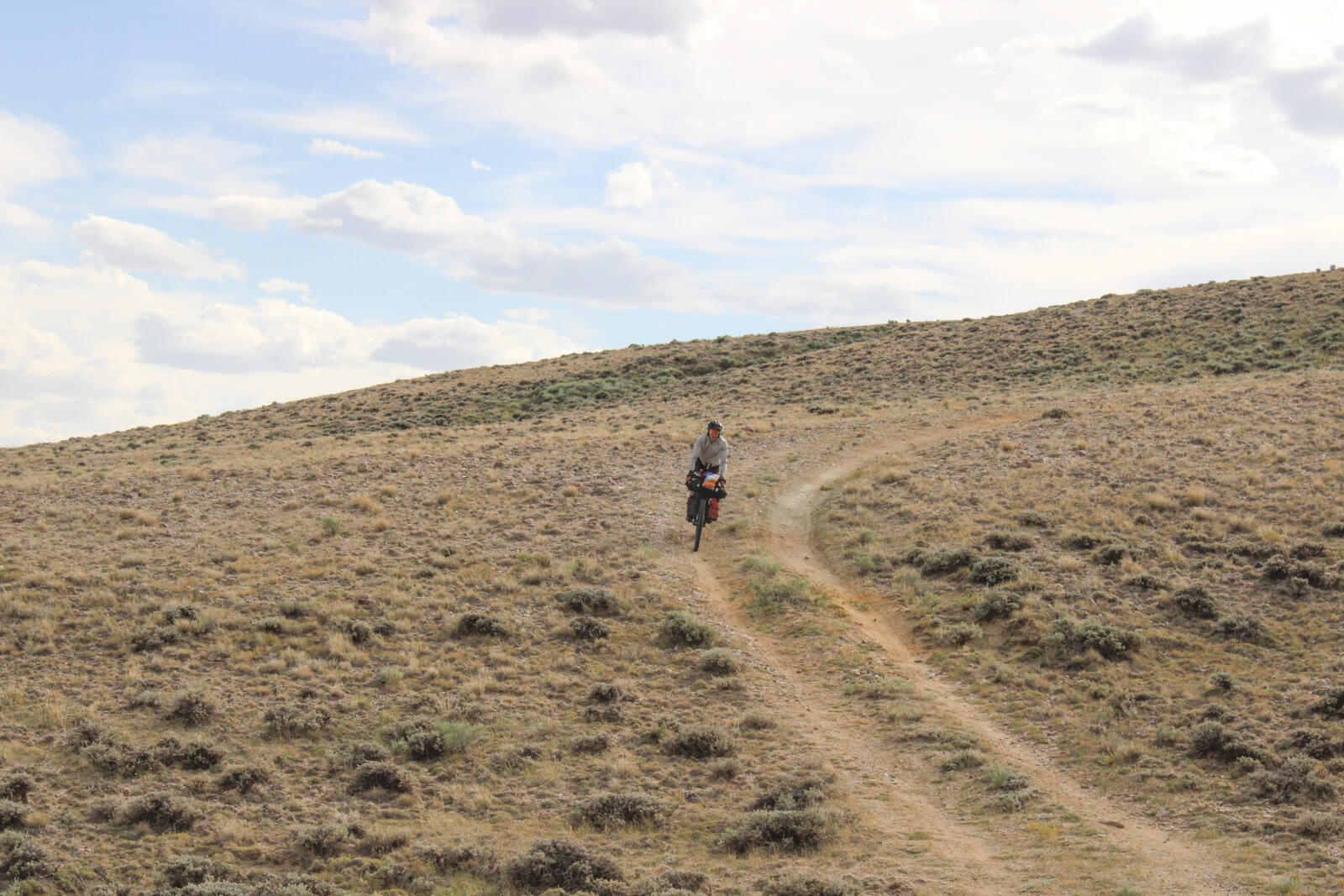 Ronan sends it through a loose gravel double track descent.
We persisted for a while and then camped at about 9 PM, about 30 miles from Wamsutter, just as the sun was going down. Andrew, a teacher from Vancouver whom we had met the previous day in Pinedale, joined our campsite.
Day 18: Most of the way to Wamsutter → Brush Mountain Lodge (109 miles, 5300 feet)
With concerns about afternoon heat, we rolled at 6:48 AM. The wind from the previous day had settled and we had a pretty easy ride to Wamsutter. Apparently, some days there can be bad trucks on this section, but none were visible on this Sunday morning.
In Wamsutter, we stopped at the Love’s Truck Stop to eat breakfast and resupply. Both Ronan and I purchased Subways and various snacks to get us to Steamboat. While eating our Subways, Simone (a Swiss-New Zealand cyclist we had met in Pinedale) walked into Love’s. She and her group of three had arrived in Wamsutter the previous evening at 10PM. They were sufficiently fatigued from the Great Basin that they were having a slow morning.
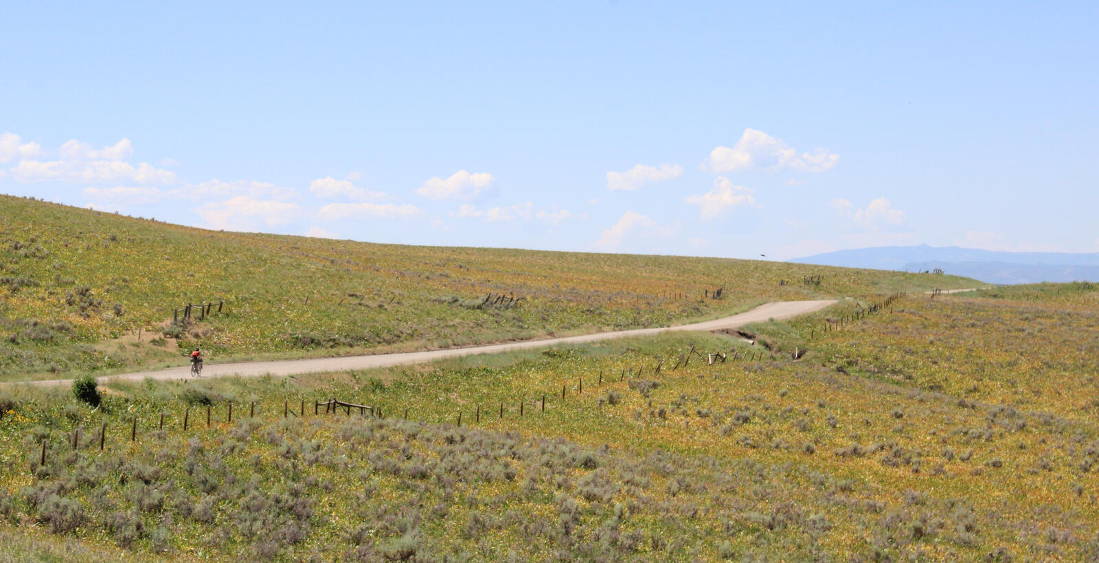
While the Great Basin gets a lot of attention, we found the segment between Wamsutter and the Savery, WY to be the greater crux. Only about 55 miles long we carried less water than we had for the Great Basin, but the temperature was higher and the slightest tailwind meant that we only really experienced convective cooling if we stopped or biked backwards. Fortunately, as we got close to our high point some storm clouds came overhead and the temperature cooled.
 Clouds cool us and provide visual interest.
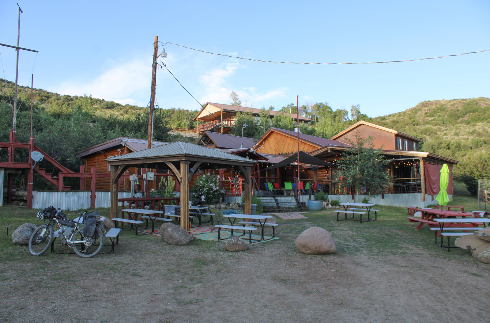
We stopped briefly at the Little Snake River Museum in Savery, WY which is a beautiful set of historic buildings with snacks and drinks sold to cyclists at Costco prices. From Savery, it was about two hours to Brush Mountain Lodge. We arrived at 5PM and took showers. We were joined by Andrew the teacher from BC, Simone the Swiss-New Zealander, Kai the German, and an Italian fellow who could tell you in good English that he “Spoke zero english” and that his understanding of the language was “rudimentary”.
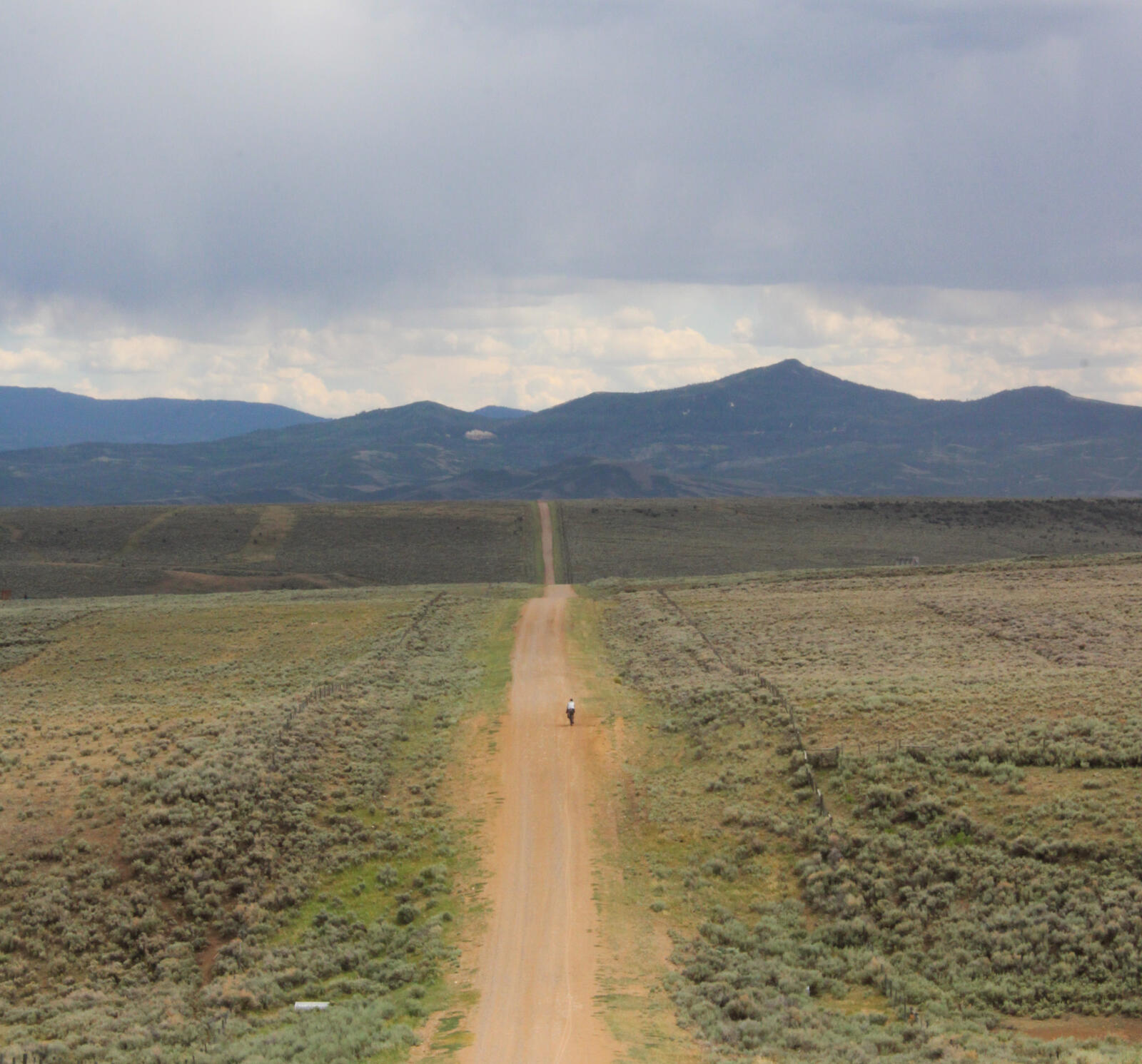
 No detour required for Brush Mountain Lodge!
Day 19: Brush Mountain Lodge → Steamboat Springs (65 miles, 5600 feet)
The next morning we stayed for breakfast which consisted of eggs and pancakes and chatted some with Krysten, the proprietor of Brush Mountain Lodge. Krysten’s parents originally purchased the lodge as a hunting lodge, but she became aware of Tour Divide when Mike Hall stopped at Brush Mountain in 2016. Ever since then she has been hosting cyclists during the event. She likes that cyclists are less picky with things like beer type and food quality.
Departing at 8:30, we had a warm steep climb followed by a long descent towards Steamboat.
 Ronan descends towards Steamboat.
We entered Steamboat on a bike path along the Yampa river, and bought chocolate milk and lunch food from the local Natural Groceries which is one of the few grocery stores downtown. While eating lunch, we chatted with a woman who worked at Natural Groceries who suggested we go for a dip in the hippie (or hobo) hotsprings, a warm pool of water that sits on the Yampa river where the outflow from the commercial hotsprings flows in.
After the dip, we biked around to the local bikeshops to look for a new pair of bibs for Ronan. We did not find suitable bibs but we did get the local gossip on the recent SBT gravel race which has the disapproval of many of the surrounding rural ranchers. We then biked up the hill and stayed with some friends. They treated us to a lovely homemade dinner and we heard from their high school age kids about the training involved for ‘Nordic Combined’ an olympic sport that combines nordic skiing and ski jumping.
Day 20: Steamboat Springs → Williams Fork Reservoir (90 miles, 8000 feet)
The next morning we said our Thank yous to our hosts and rolled downhill to the local Safeway, to resupply. We began the day by passing Stagecoach Reservoir. As it was shaping up to be a hot day, I set my bike down and jumped off the small pier, with my clothes and bike shoes still on. Popping up, my shirt had covered my sunglasses and helmet which I had not bothered to remove. Pulling my shirt down I saw a group of three women on paddleboards staring at me, I said hello and explained that I was intentionally getting my clothes wet to prepare for a hot day. “Ahh good to hear” they said, “we thought you might be crazy!”
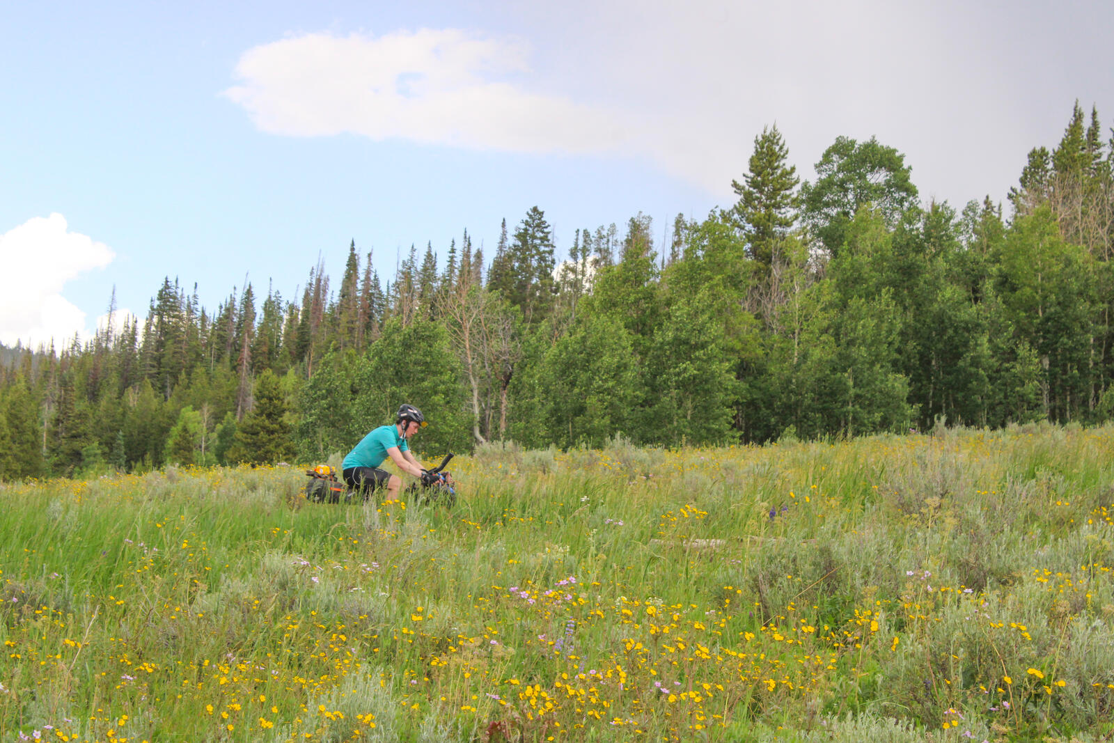 Many flowers were out today.
 Ronan explores an alternate cooling method.
From Stagecoach, we had a long climb before descending down to the Colorado River and Radium Hotsprings. From Radium, we had two hot paved climbs before descending down towards Kremling. Before arriving in town, we turned right and proceeded up the Colorado river and ultimately to Williams Fork Reservoir where we camped. Like many Colorado reservoirs, Williams Fork prohibits swimming as it is a source of drinking water for Denver. I have never exactly understood this rule as many cows are allowed to walk, roll, and poop in the creeks that feed into the reservoir.
Day 21: Williams Fork Reservoir → Frisco (46 miles, 3300 feet)
From Williams Fork, we had a very straightforward climb up Ute Pass. On the ascent we stopped briefly to chat with “Ute Pass Steve”, a fellow who puts out water and snacks for Tour Divide riders. He warned us that the highway department puts magnesium chloride on the road to harden the dirt and prevent dust. Mag-chlor, as it is known, also causes problems for bicycles so he suggested we wash our bikes thoroughly once we made it to Frisco.
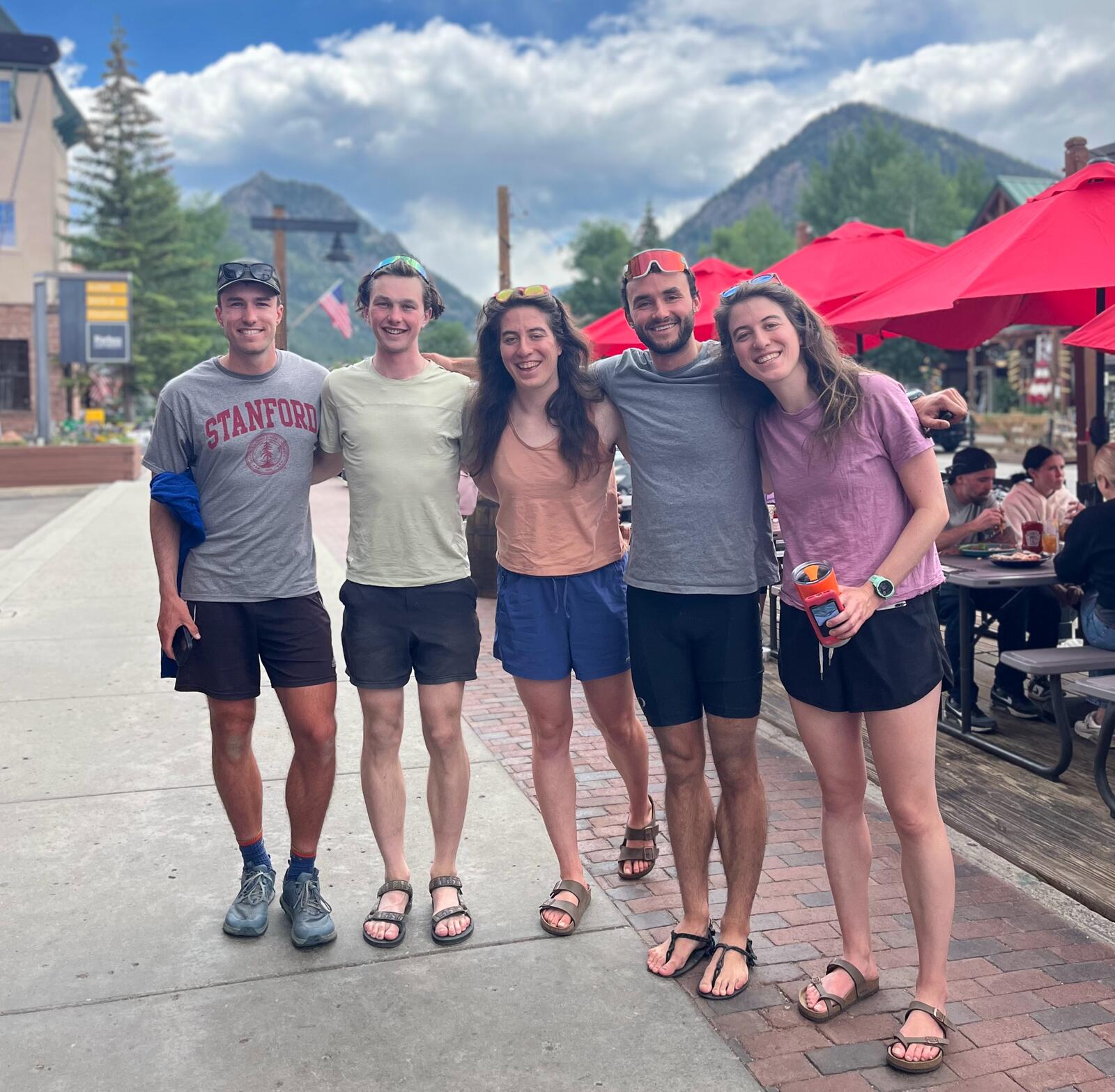
We made it to Frisco by about 11AM and washed our bikes at a friend’s house. Then we showered and walked downtown to meet friends at Butterhorn Bakery who happened to be passing through Frisco. One of the friends, Adam, was hiking the CDT northbound. He is planning on finishing in October!
Day 22: Frisco → Pass above Salida (97 miles, 6300 feet)
Immediately out of Breckenridge we launched into the gentle but long climb up Borreas Pass.
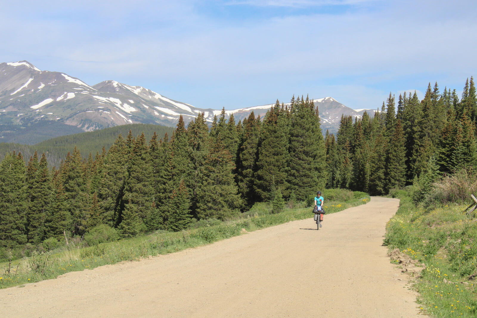 Climbing the gentle, well graded Borreas Pass.
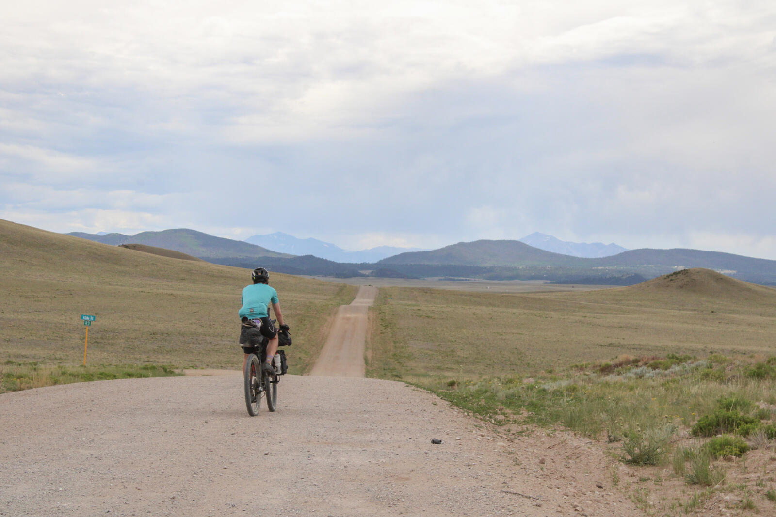
From Borreas Pass we descended towards Como, partially on single track. From Como to Hartsel, there was significant washboard, a headwind, and a decent amount of car traffic that would blow up an unpleasant amount of dust.
 We gained half our vertical due to washboard today .
We stopped in Hartsel for lunch, but after our lunch break had more of the same washboard and dust. Around Hartsel in the San Luis Valley there are tons of partially complete structures built off the grid without building permits. The result is not attractive. Old campers and poorly built sheds litter the landscape.
Once we began climbing in earnest the road quality improved and we entered into the national forest and left behind the squalorous San Luis slums. We had a very nice campsite at the top of the climb.
Leave a Comment
Your email address will not be published. Required fields are marked *