Sierra Traverse: Mammoth → Twin Lakes
Published:
Preparation
Sam and I started scheming the possibility of a Sierra traverse in the fall of 2024 after deciding Bugs to Rogers was too committing an objective for the spring of 2025. Our basic idea was a 7-day North/South traverse along the crest of the Sierra.
We ultimately decided to loosely follow the northern section of the summertime Roper’s Sierra High Route, starting at the Twin Lakes Vista trailhead in Mammoth and ending at the Twin Lakes trailhead near Bridgeport. The route would take us near some really cool zones: The Minarets, Banner/Ritter, Thousand Island Lakes, Tuolumne Meadows, North Peak/Conness, Shepard’s Crest, and the Matterhorn.
We ultimately reduced the length of the trip to four nights to limit the number of calories we had to carry and also to make the trip fit into our mutual life constraints. About a week prior to departure, Nahla decided to join, which was excellent news as Nahla has spent more time in the Sierras than Sam and I combined, including a couple of summer Sierra High Route permutations.
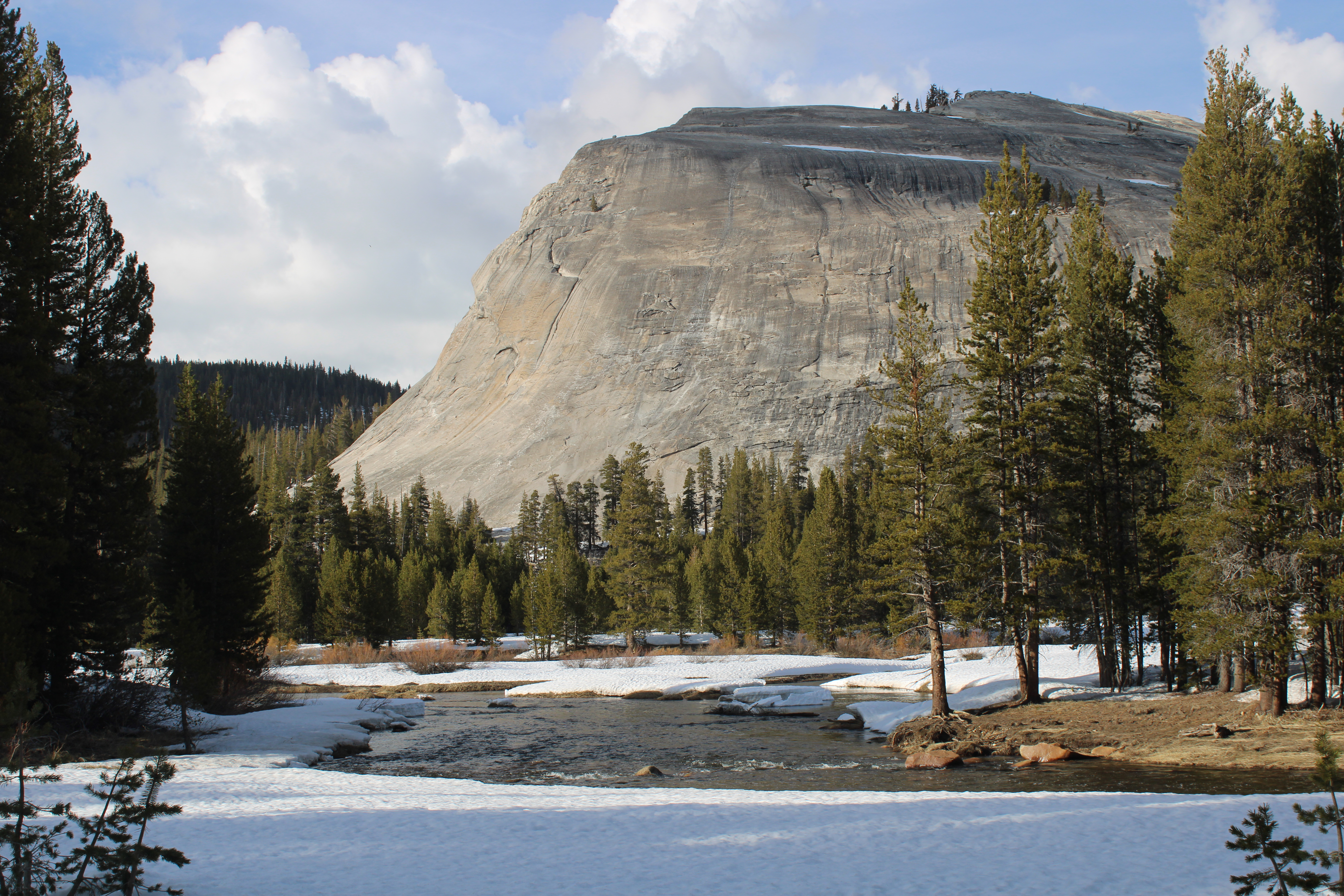
Day 1: Mammoth → Minaret Lake
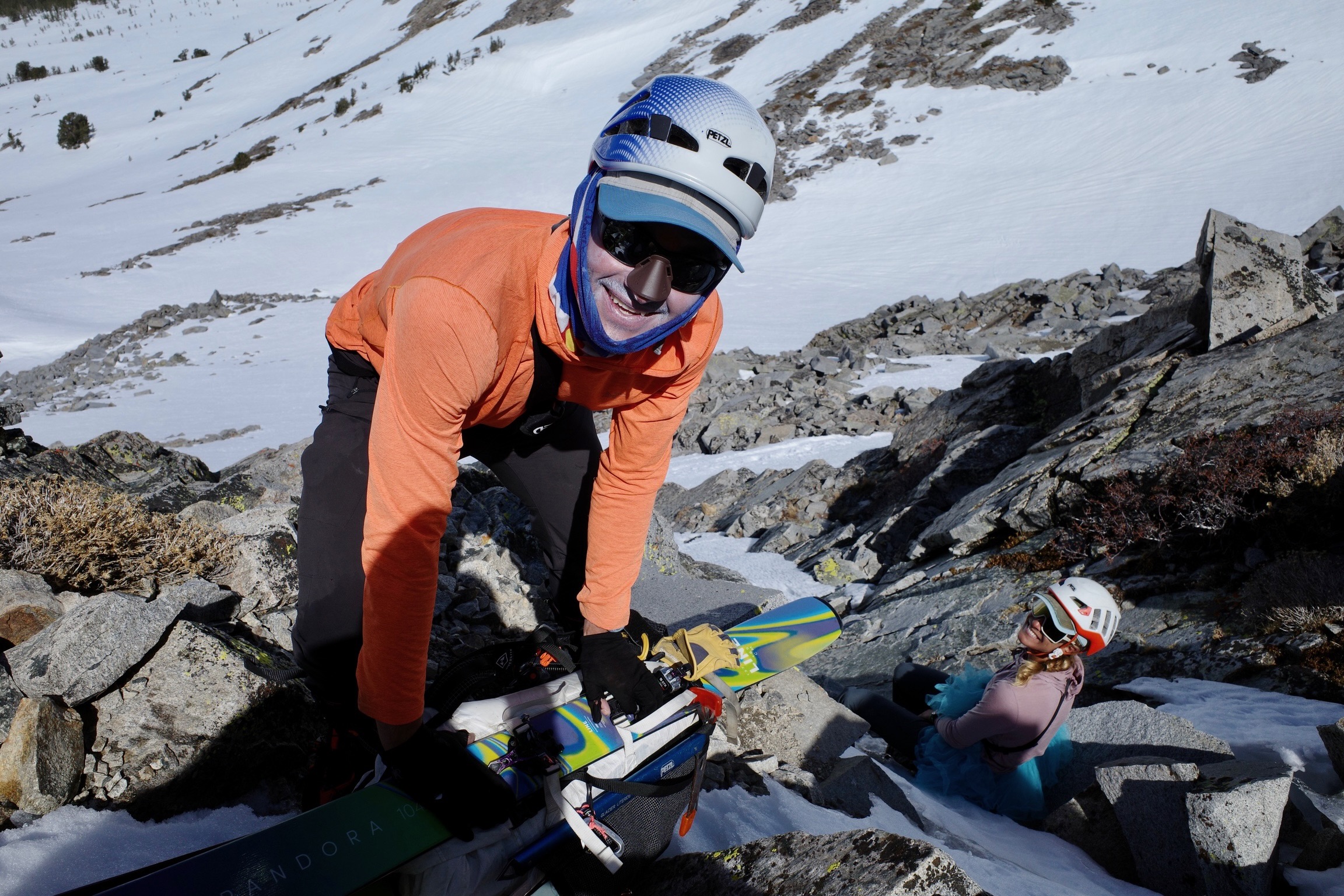
On Friday, April 18th, I left Palo Alto at 4 AM and drove up to meet Sam and Nahla, who were both coming from South Lake Tahoe, at the Bridgeport Shell at 9:30 AM. We then left Nahla’s car 1/4 mile east of Twin Lakes Resort (to avoid paying for parking) and drove my Prius to the Twin Lakes Vista trailhead in Mammoth. On the drive south, we decided to carry our avalanche transceivers and two shovels between the three of us. In retrospect, leaving the transceivers in the car would have been a reasonable choice given that we saw very little evidence of wet loose slides over the next five days. Sam also persuaded me to leave my trail runners. Nahla decided to carry hers. We were skinning by about 12:30.
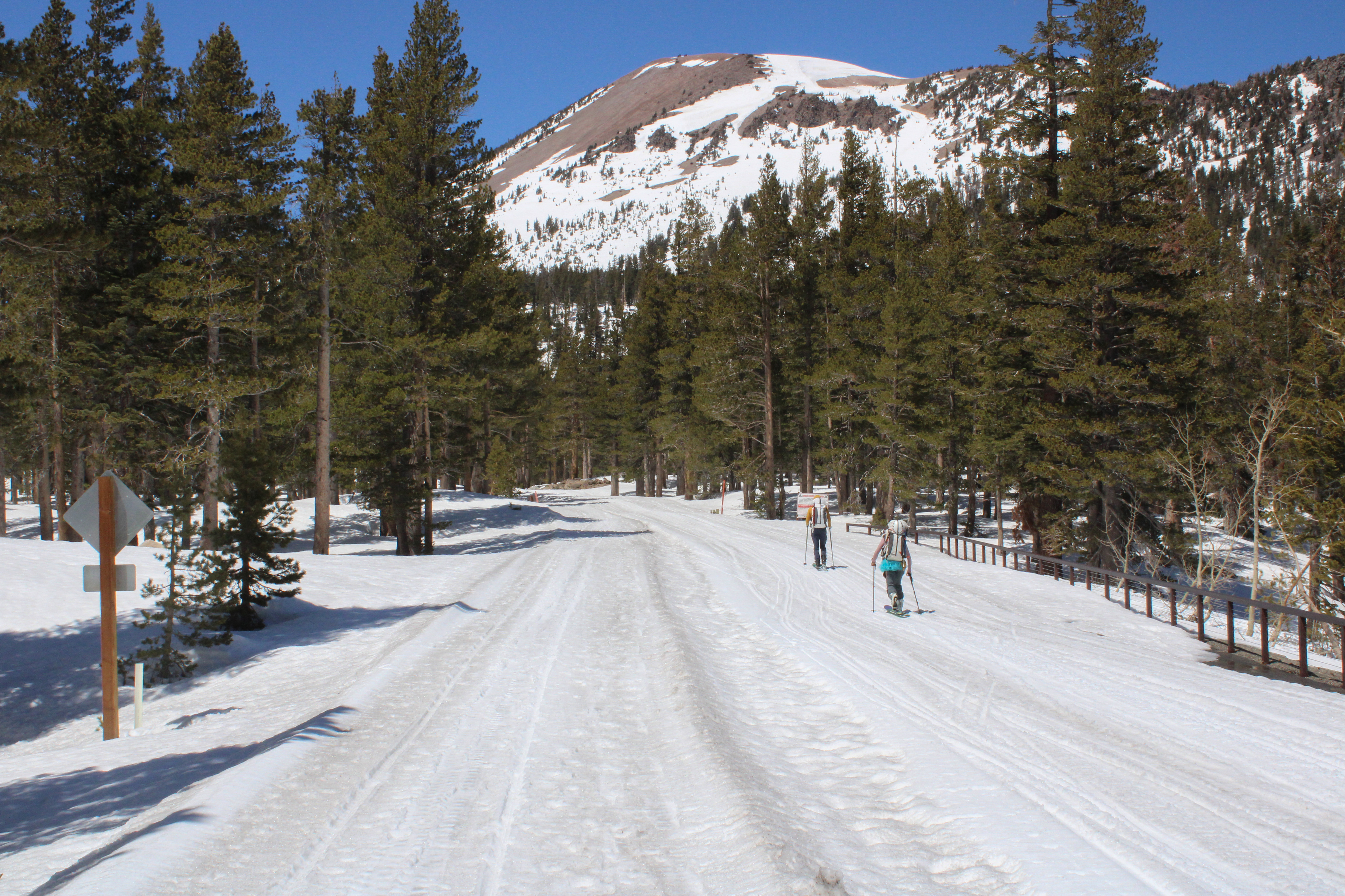 Road signs and railings made route finding straightforward.
After a brief stop for lunch at the partially melted-out Reds Meadow Campground and about 6 hours of skinning, we made it to Minaret Lake at about 7 PM where we pitched our tent, boiled water for dinner, and fell asleep.
 Home sweet home.
Day 2: Minaret Lake → Lyell Fork
The next morning we woke up around 7, and after eating a breakfast of oats and letting our gear dry a little bit, we were moving by about 8:45.
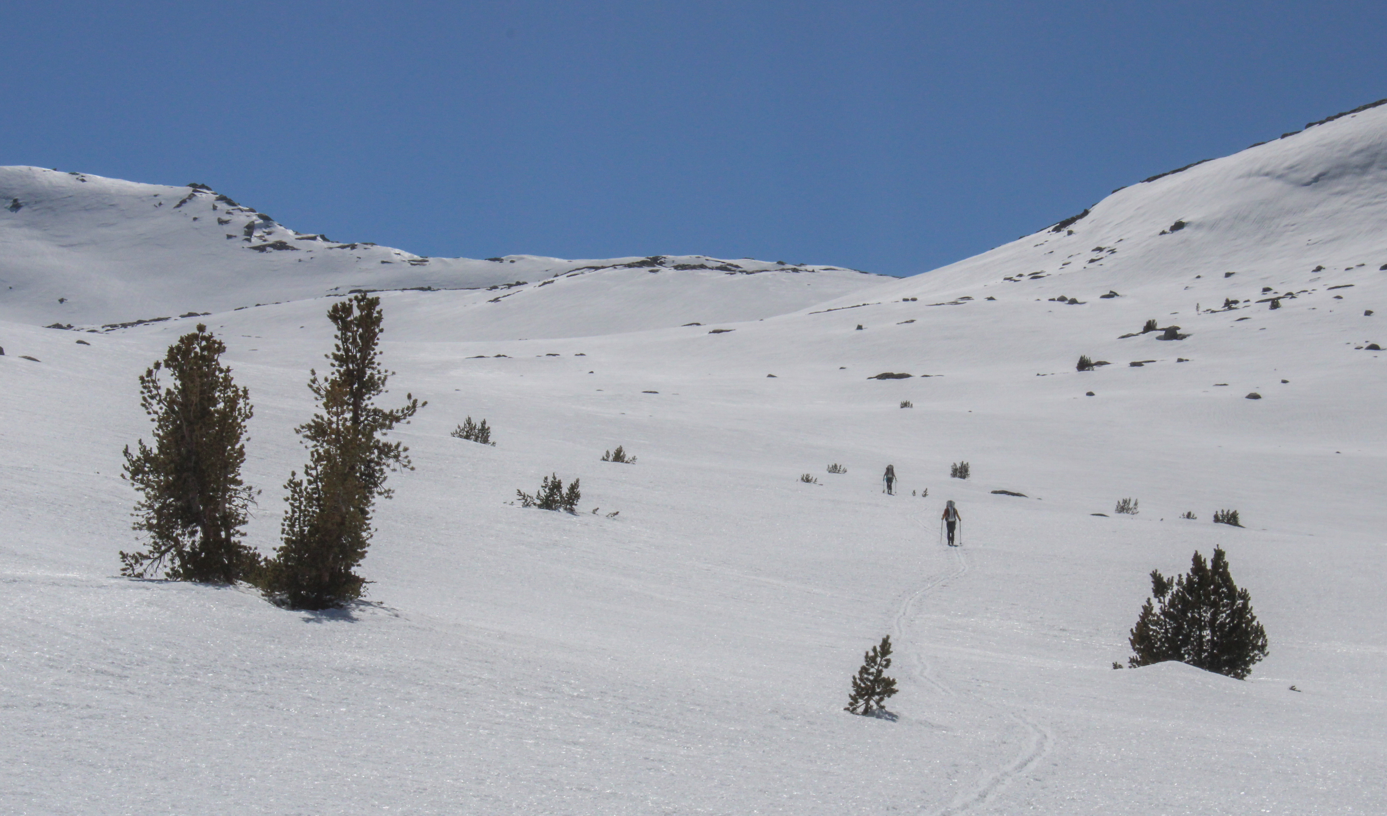
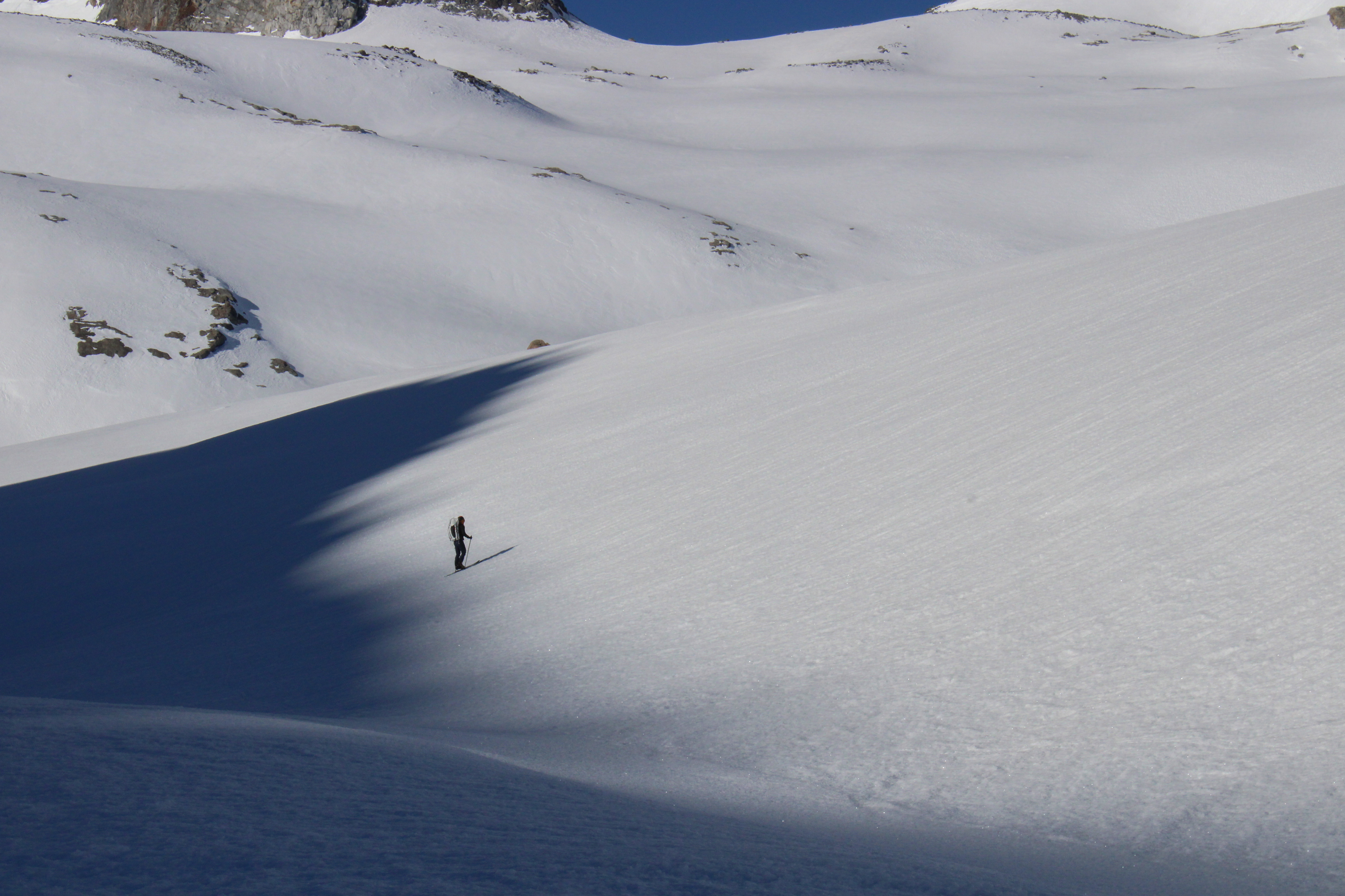
 Skin skiing down towards Cecile Lake.
 Sam makes a high traverse around Iceberg Lake.
We were able to cut high and right and glide all the way to the drainage above Ediza Lake. At one point, we had entertained climbing Ritter or Banner en route, but the previous night Nahla had pointed out we had a fair number of miles to cover to get to the Tuolumne Ski Hut in two days, and it might be worth making today our big traverse day. Then, if we had spare time, we could do a side mission up Lyell Sunday morning.
We ate lunch at Garnet Pass and had a nice ski down to Thousand Island Lakes before commencing the long, low-angle climb to Donohue Pass.
 Are we even going up?
 Donohue Pass; the JMT descends the Lyell Valley behind Sam.
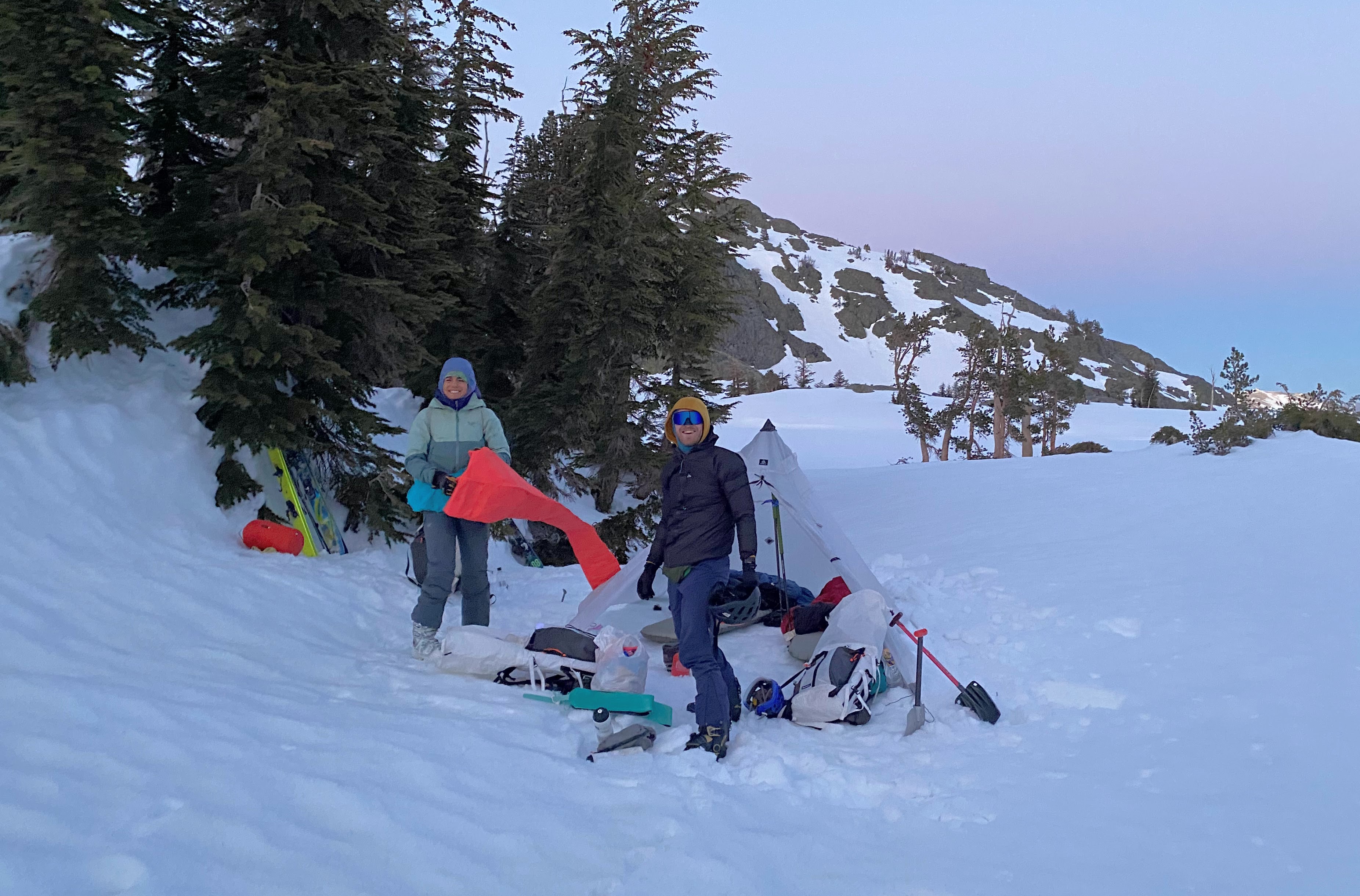
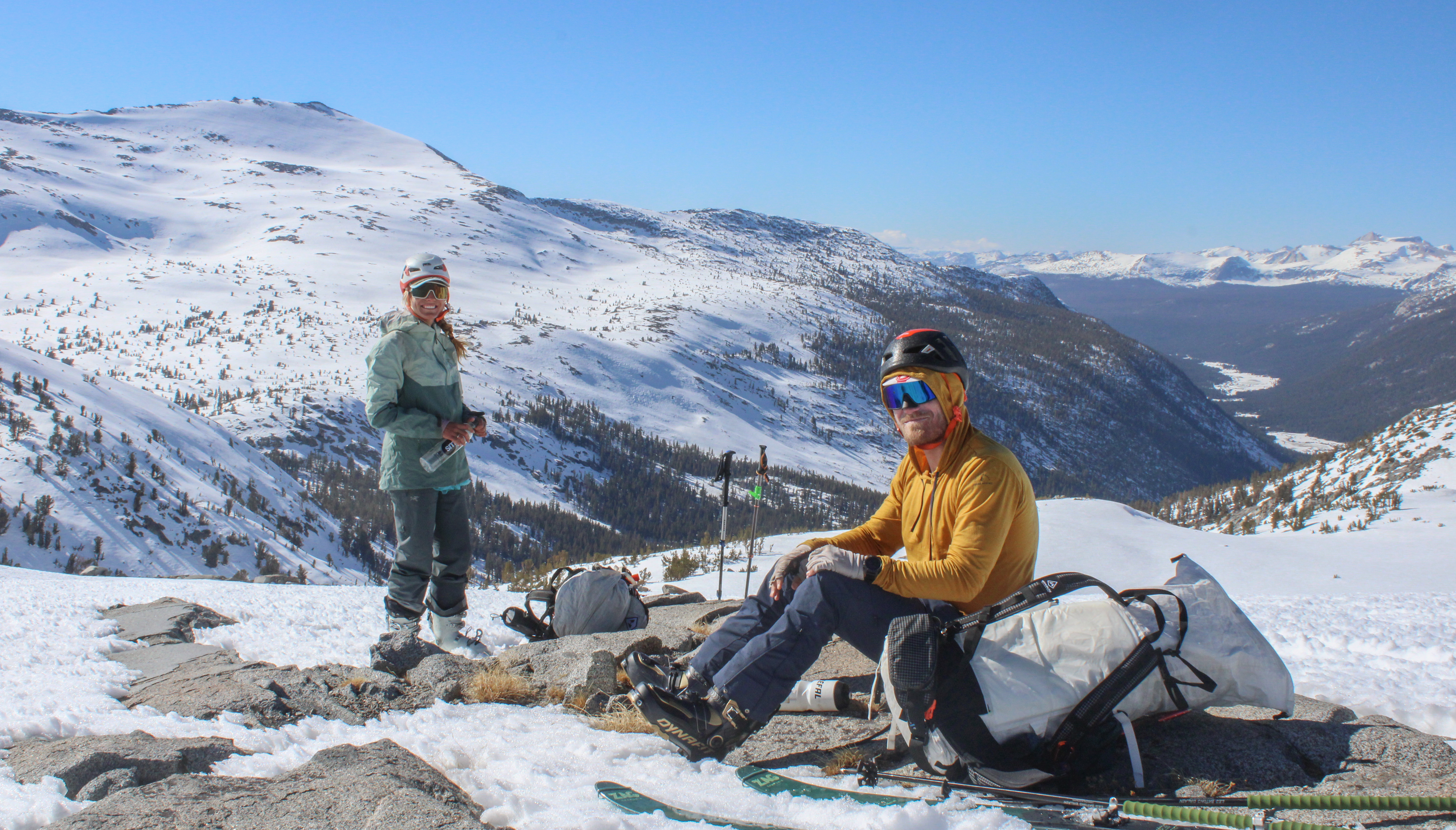
From Donohue, we skied down and made camp at 10,600 ft with a view of Lyell outside our tent door. We got into camp at the slightly earlier hour of 5 PM or so, and we had a nice rock to lounge on. It was a needed break.
 A scenic camp spot.
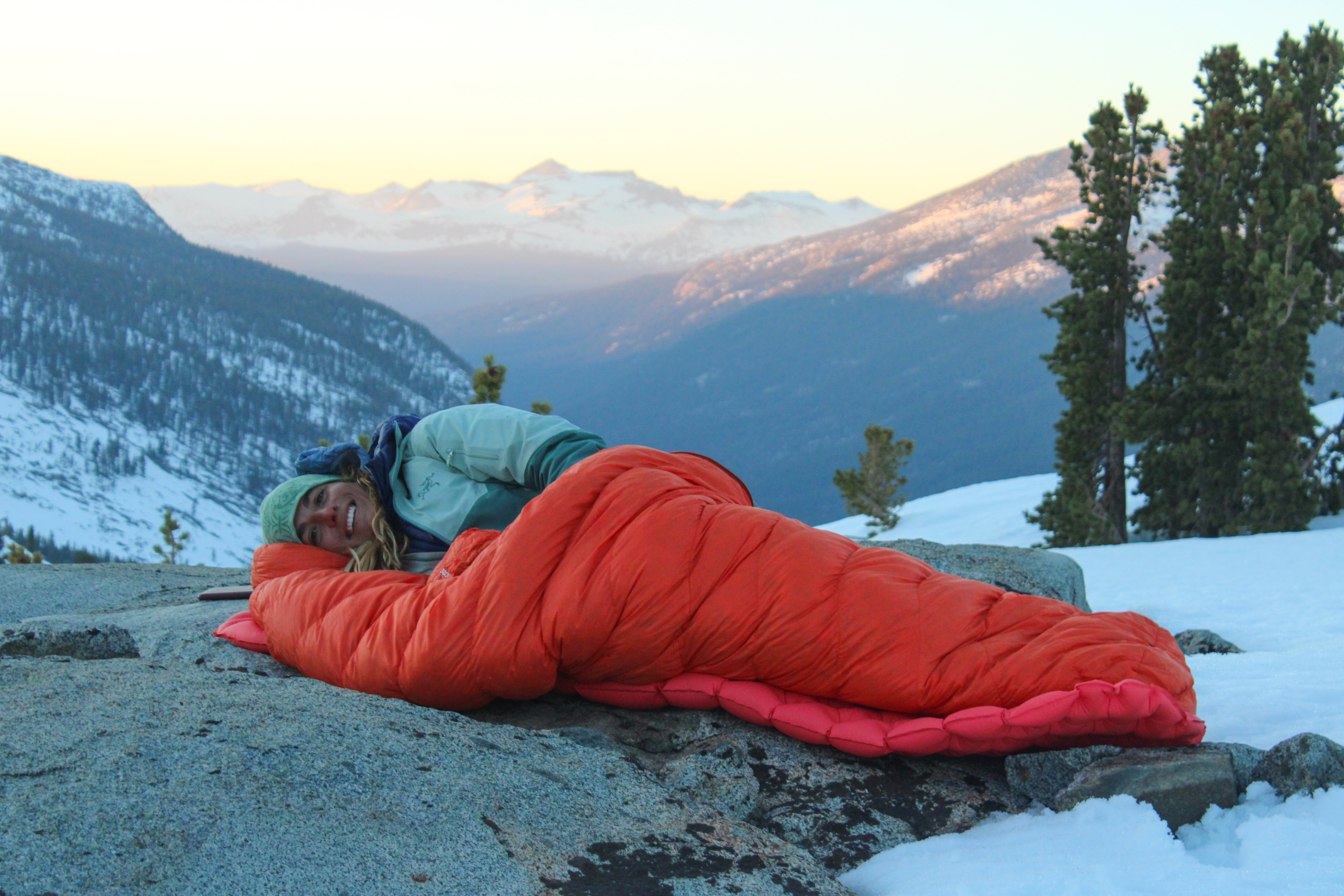 Nahla’s ergonomic bed.
Once the sun set, Sam and I got in the tent. It was a reasonably chilly night, and at 1:30 I woke up and ate a couple of fig bars in an attempt to warm up. It was about that time that Nahla joined us in the tent for the same reason.
Day 3: Lyell Fork → Toulomne Meadows
We vacillated on our precise plans for the day but ultimately fully packed the tent and skinned up about 500ft and dropped out overnight gear and ate breakfast.
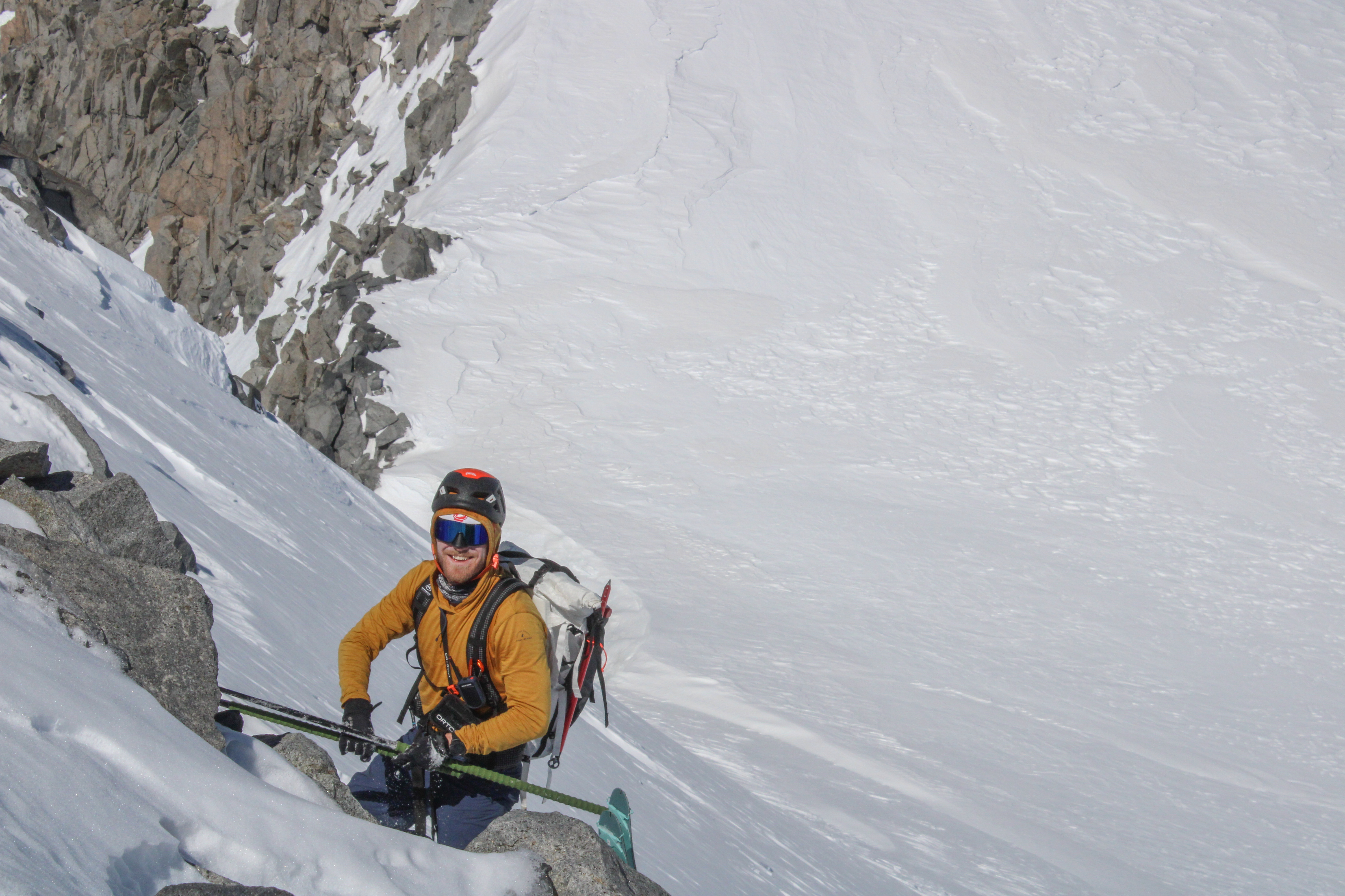
 Sam escapes the shade line.
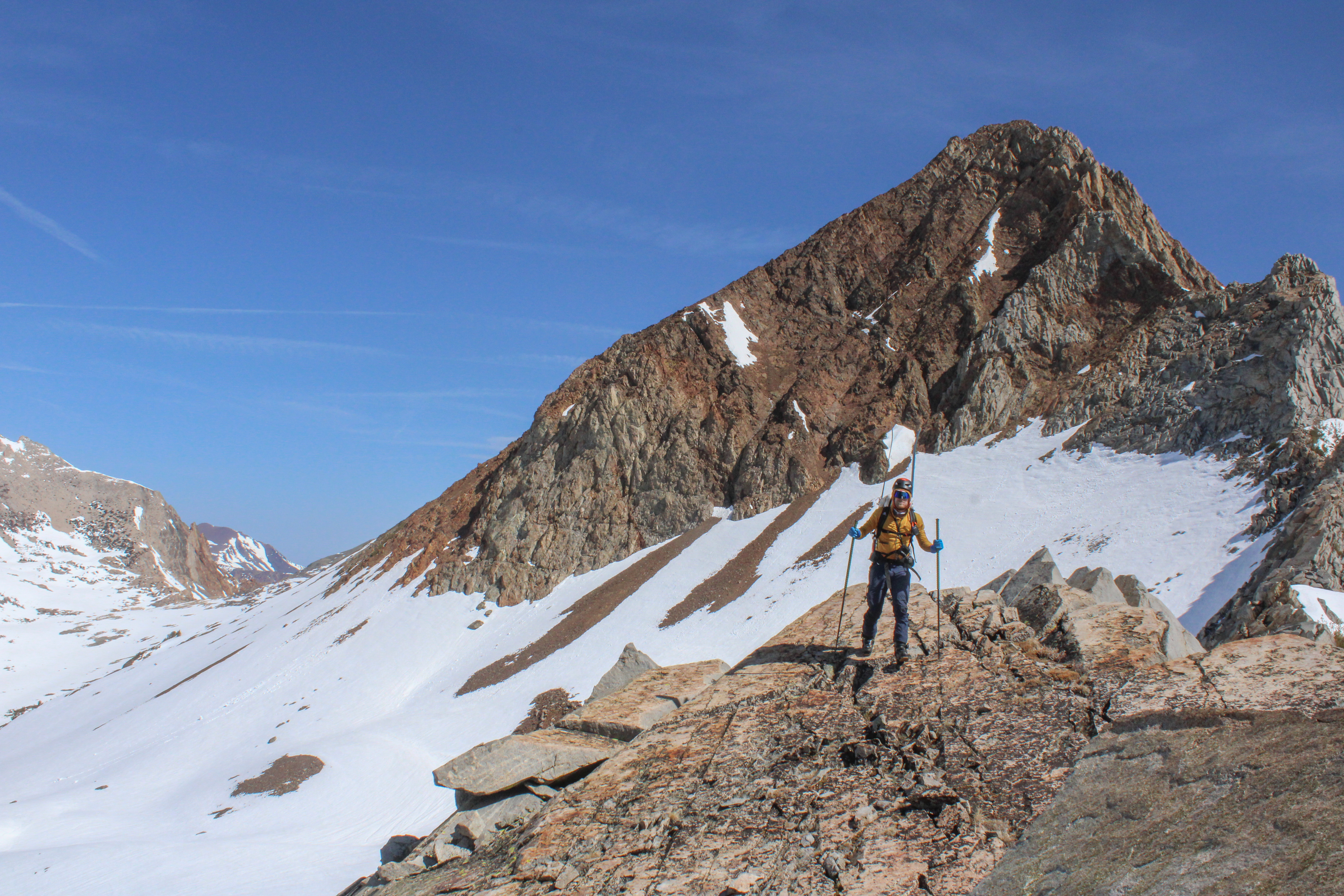
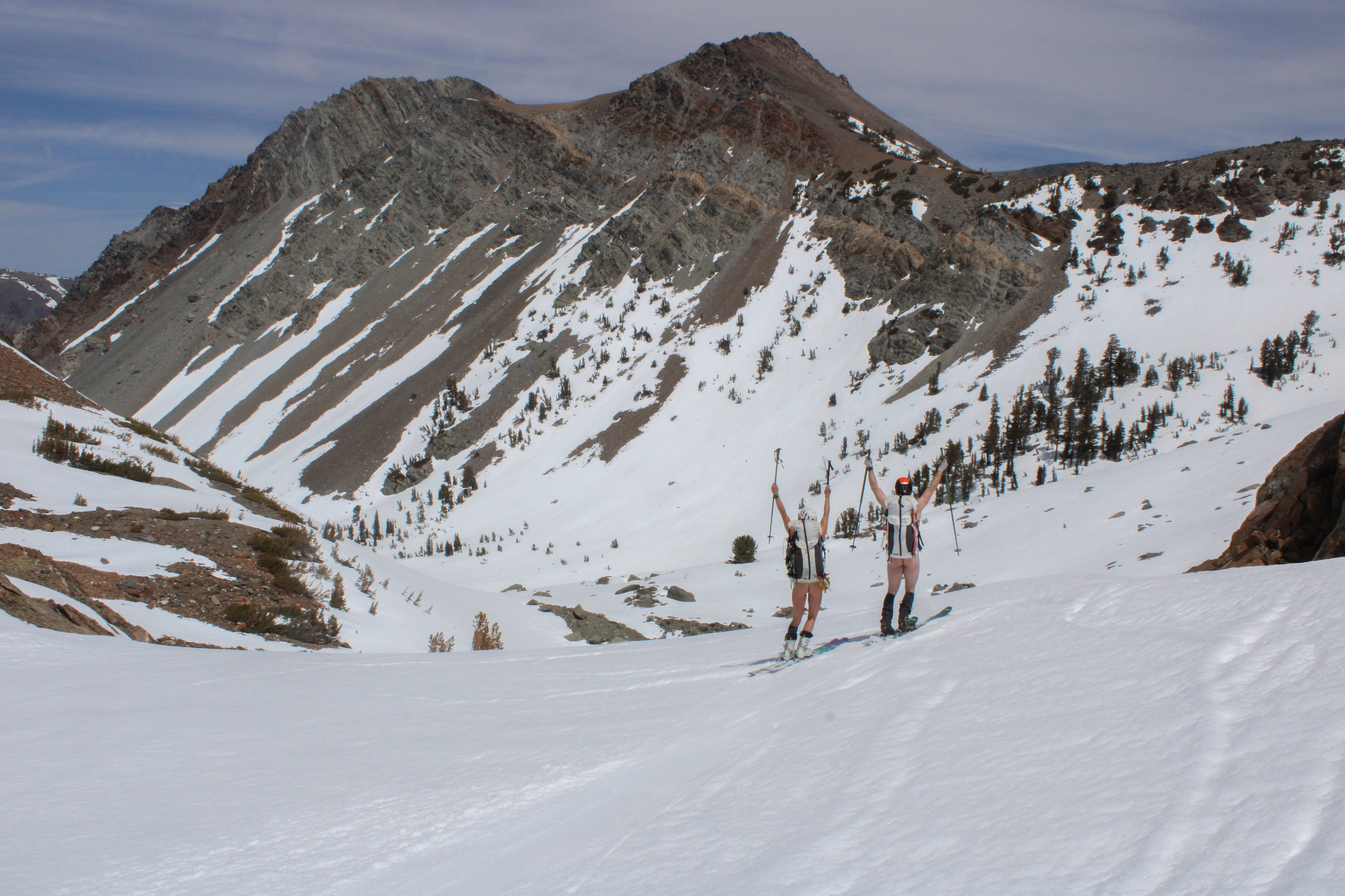
With our packs much reduced in weight and volume we skinned up towards the Lyell-Maclure Col. As we neared the Col, the route up to the sub-peak of Lyell looked very attractive so we decided to climb it. The last pitch to the sub-summit was a little sketchy with snow on top of rock. The sub-summit was around 12,900 and was our highest point of the trip. From the top we had a nice view back towards Banner and Ritter.
 A veritable mountaineer.
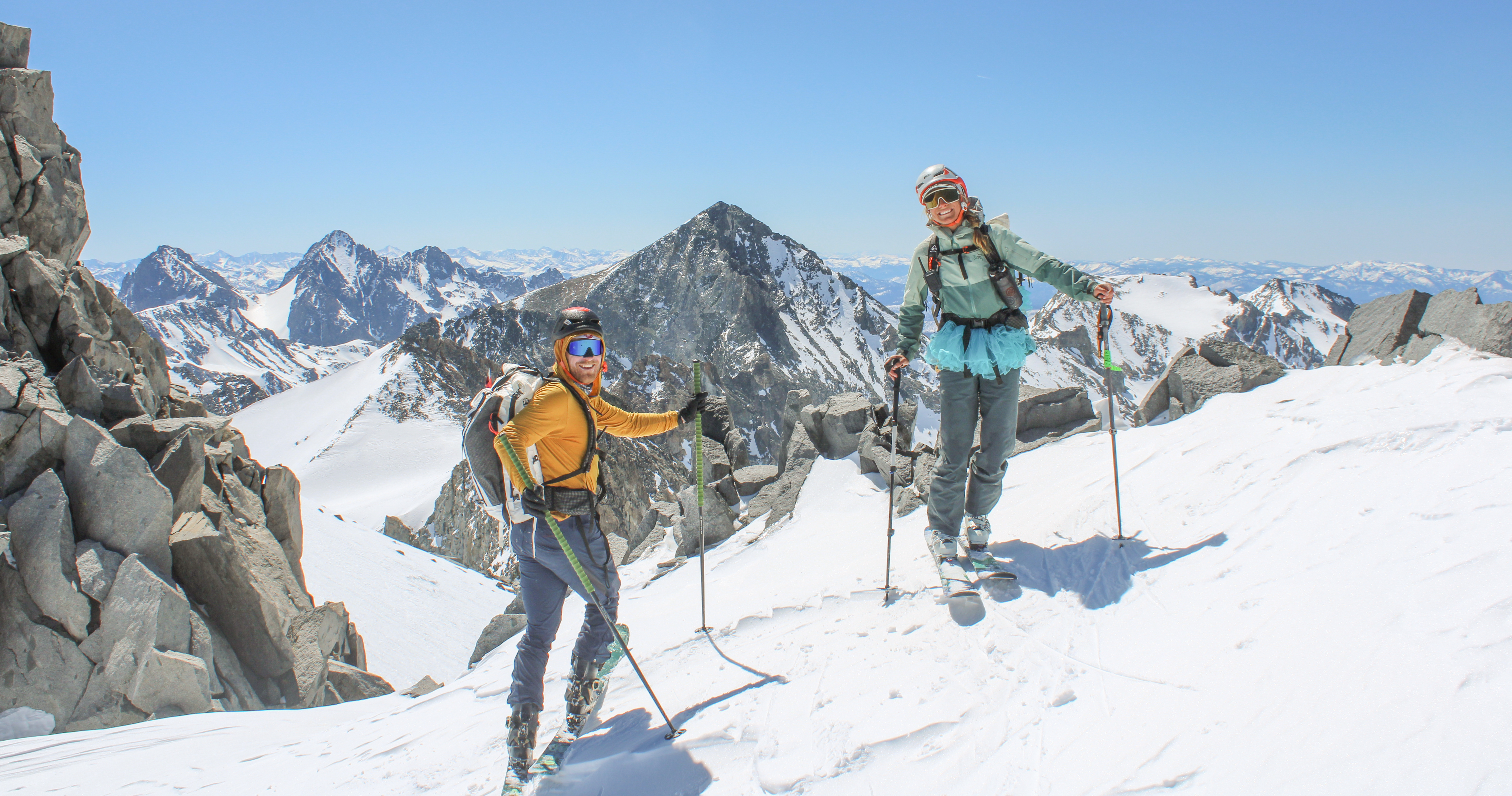 Rogers Peak directly in the background with Banner and Ritter to the left of Sam.
The ski down from the sub-summit was a north aspect that became increasing east as we got lower. It skied surprisingly well. The north aspect was nicely wind-buffed and 1,500 feet lower the east facing slope was corning nicely.
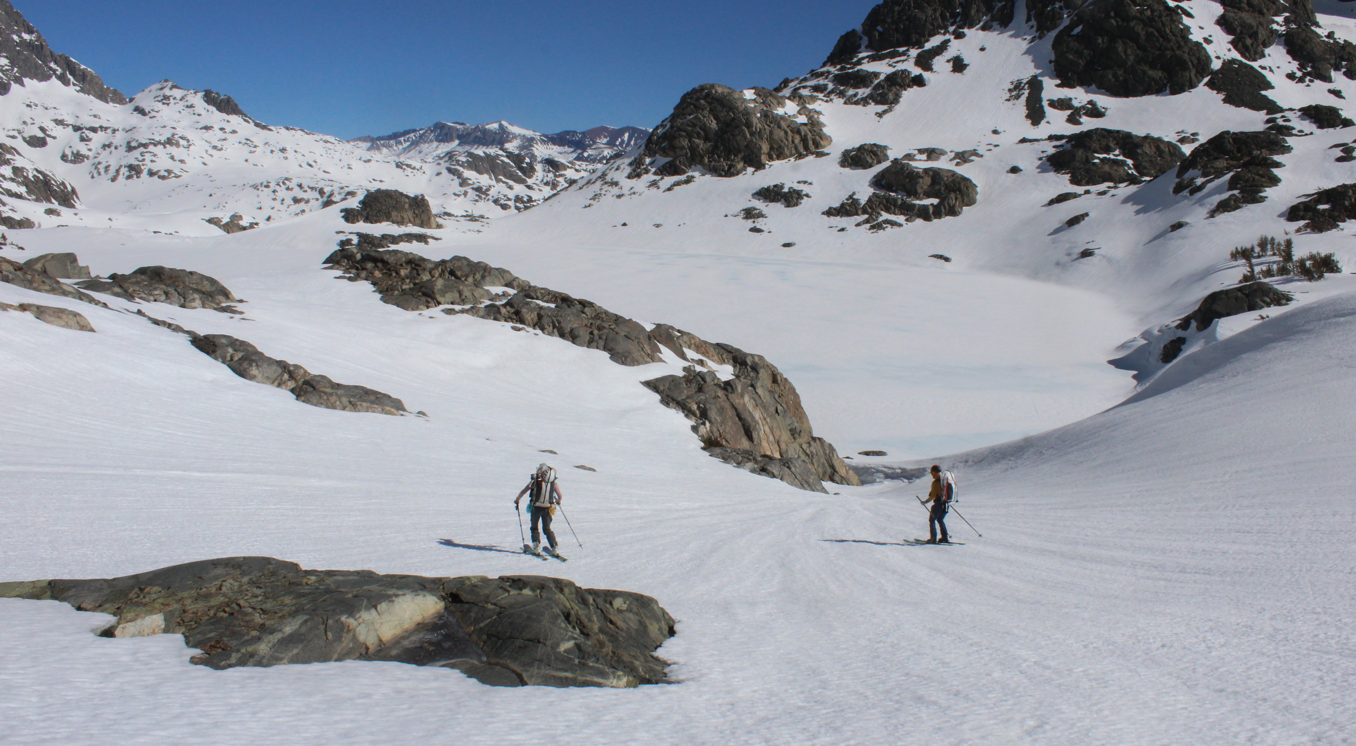
We recovered our stashed overnight gear, and with full packs and traversed towards Amelia Earhart Pass. From there we were able to ski almost continuously to Rafferty creek. Descending Rafferty creek the best method (in my opinion) was to rip skins but leave one’s heel unlocked. The low elevation spring snow was sufficiently sticky that even without skins one could walk slightly uphill in this mode, and the descents were much faster without skins.
We paused for a break at the bridge crossing Rafferty creek and Nahla even went for a quick swim. We were then struck by doubt. Was the Tuolumne Meadow Ski Cabin indeed where I had marked it on the map? Worried that we would be unable to find the hut, we Inreach messaged a couple friends to ask them to clarify the latitude and longitude of the hut. We soon got confirmation that the hut was indeed on the Tioga Pass road, adjacent to the bridge crossing the Tuolumne.
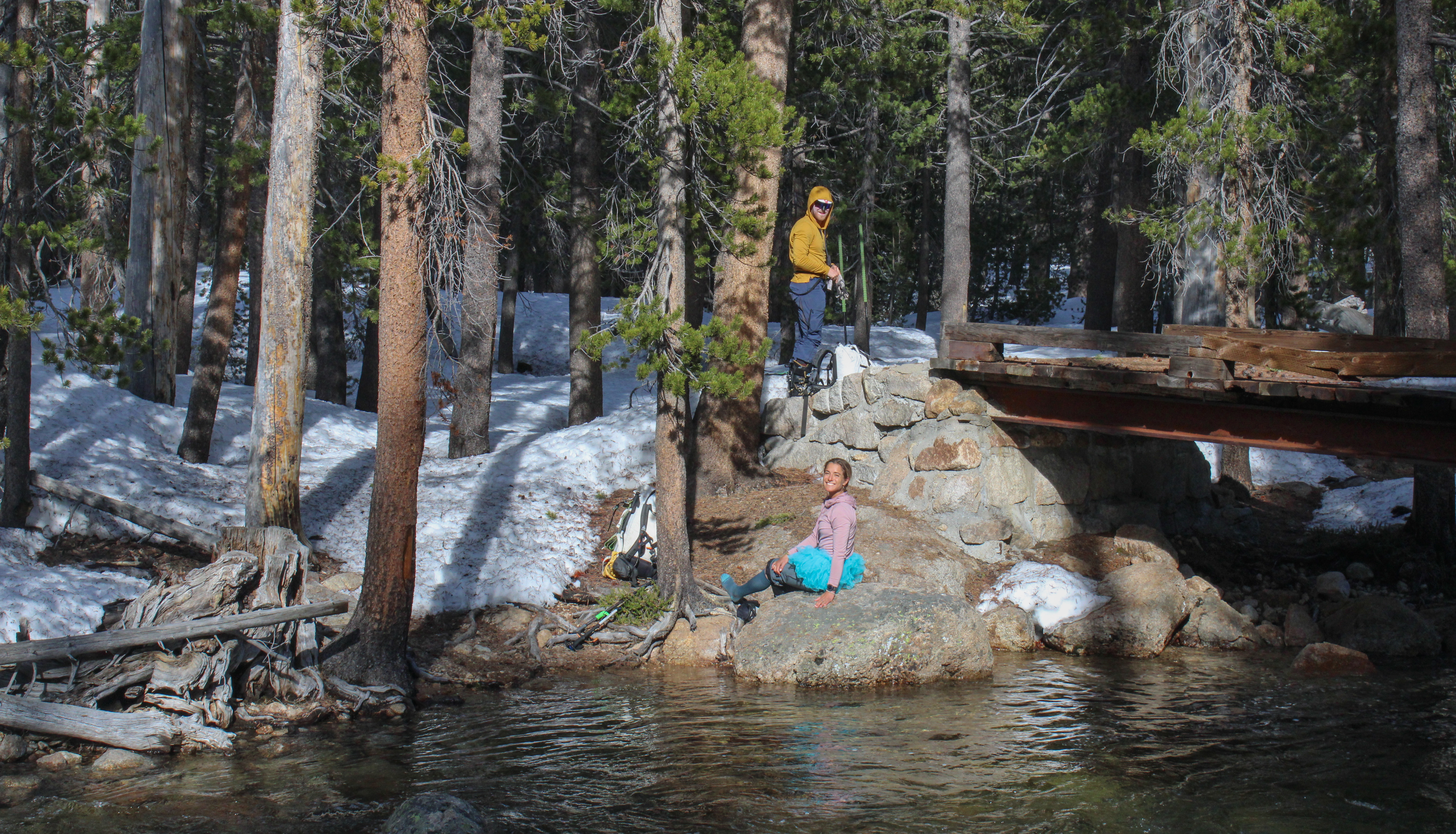 A bridge across Rafferty Creek.
We put skins back on and slowly skinned along the JMT for about 1.5 miles. It had been a long day and we were ready to shed our packs, but the winter views of the Tuolumne where beautiful. It was slightly surreal to see all of the summer infrastructure without a human in sight.
 Ah that looks like Yosemite!
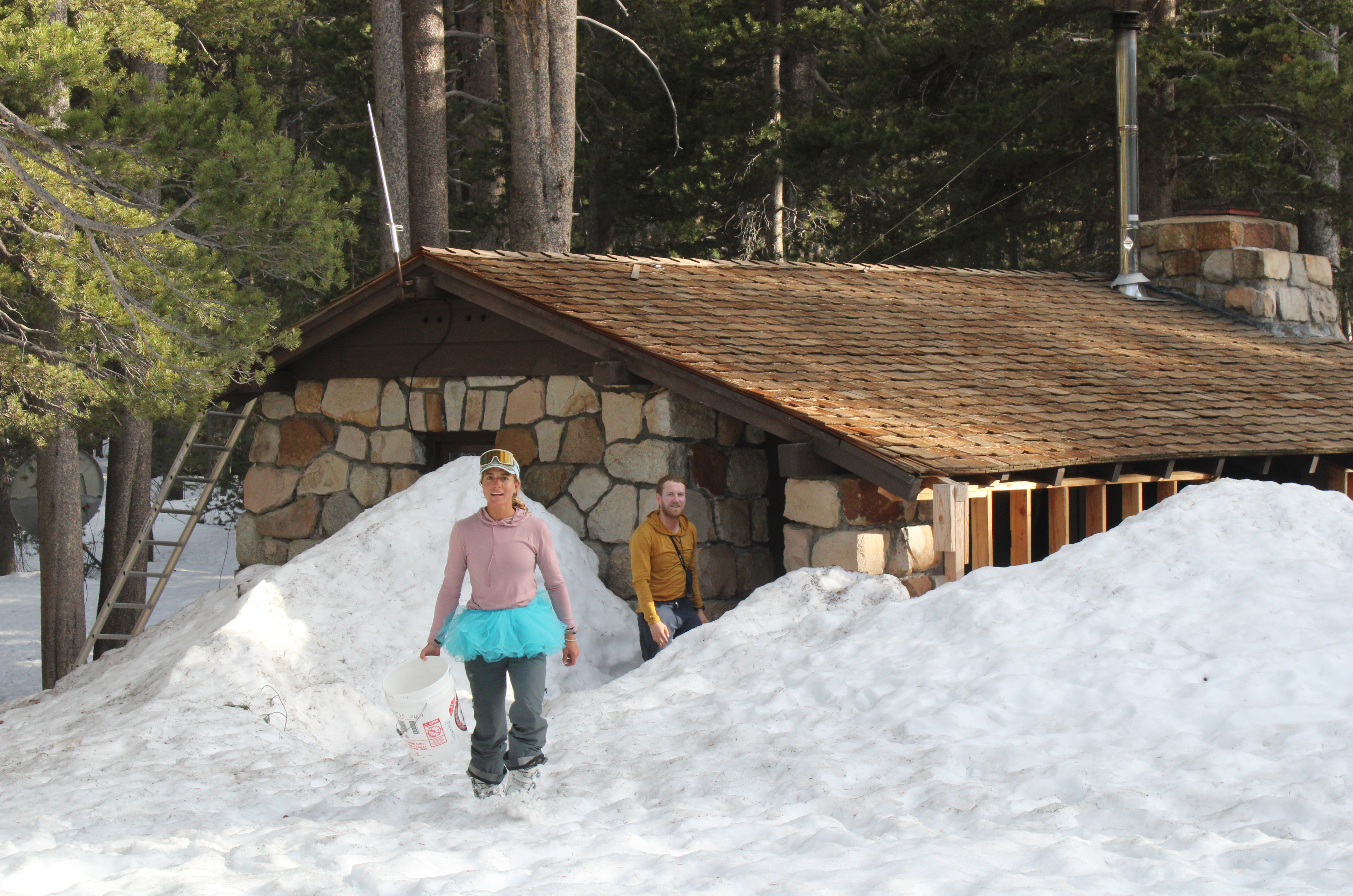 A proper ski hut.
Arriving at the hut we were stoked to find a wood stove with kindling and paper already prepped to start a fire. The hut was also empty, and apparently had been since Thursday. After our cold previous night and the long day in the sun, the hut was a very welcome comfort.
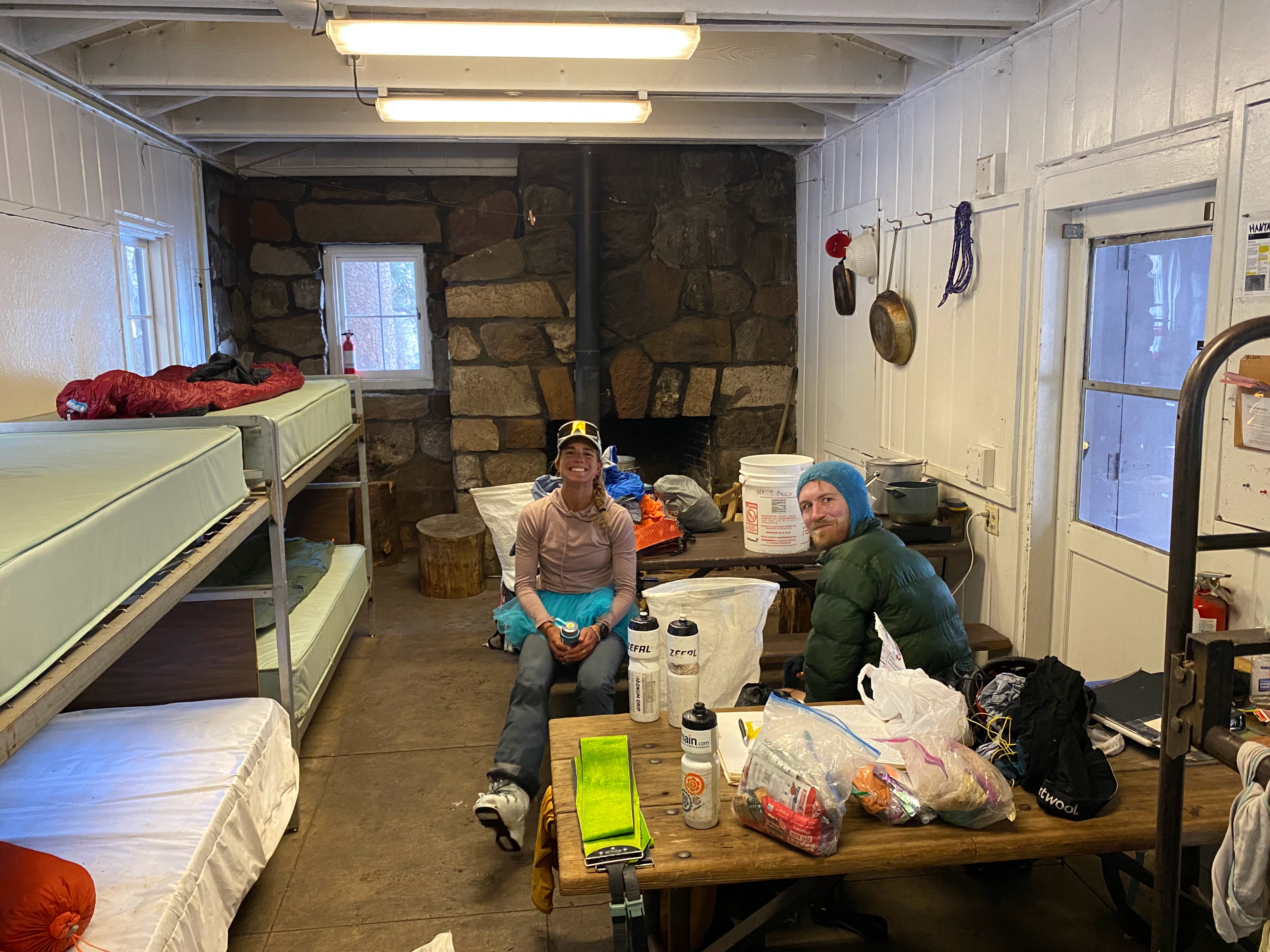
Once the fire was going, we heated up dinner water with the electric kettle in the hut, played a couple rounds of hearts, and read guest book entries. There where many entertaining stories including a group who skied a full day near Amelia Earhart only to return to their camp and find that it had blown away — they concluded the best plan was to ‘boogie’ to the Tuolumne Ski Hut which they did, arriving in the early hours of the AM.
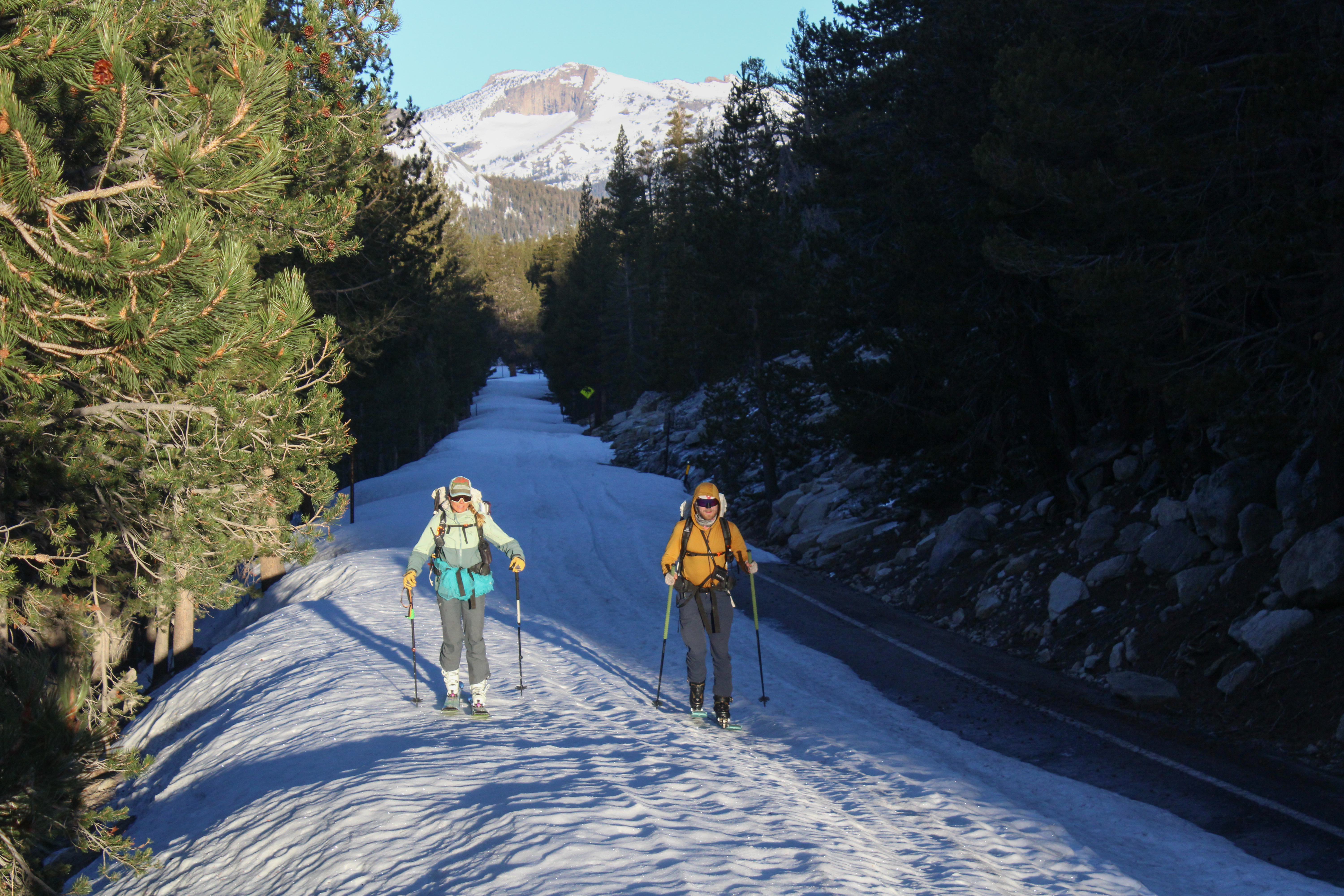
Day 4: Tuolumne Meadows → Return Creek
Courtesy of the hut, we were able to get an early start. We were skinning by 6:30, and had a two mile pleasant low angle skin up the Tioga Pass road.
And then more low angle skinning up towards an unlabeled pass in the vicinity of Mine Shaft Pass. We ate lunch at another unlabeled pass in the vicinity of Conness Pass and saw (from a distance) the only other person we would see all trip — a skier descending across Greenstone Lake below us, presumably having skied Conness or North Peak that morning.
Courtesy of the hut, we were able to get an early start. We were moving by 6:30, and had a two mile pleasant low angle skin up the Tioga Pass road and then more low angle skinning up towards an unlabeled pass in the vicinity of Mine Shaft Pass. We ate lunch at another unlabeled pass in the vicinity of Conness Pass and saw (from a distance) the only other person we would see all trip — a skier descending across Greenstone Lake below us, presumably having skied Conness or North Peak that morning.
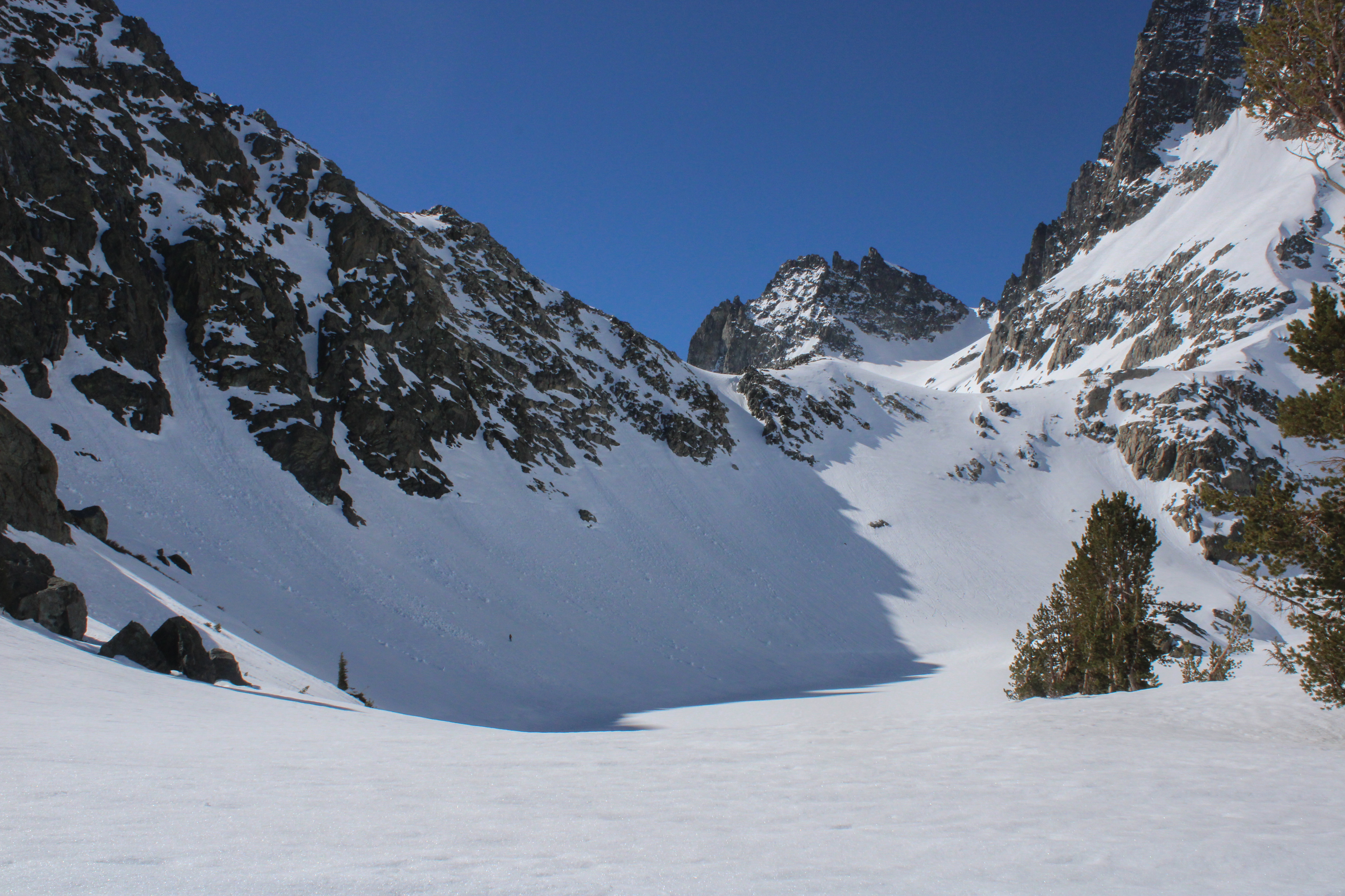
Of the entire trip, the two passes we were most concerned about were Sky Pilot Col and Stanton Pass.
Aerobically, I was starting to slow down as we ascended Sky Pilot Col, but conditions were prime for both the ascent and descent. The south-east facing climb had corned nicely but still had a firm base that prevented post holing and indicated a wet loose slide would be unlikely. Nahla and I booted up to the Col while Sam skinned the whole thing.
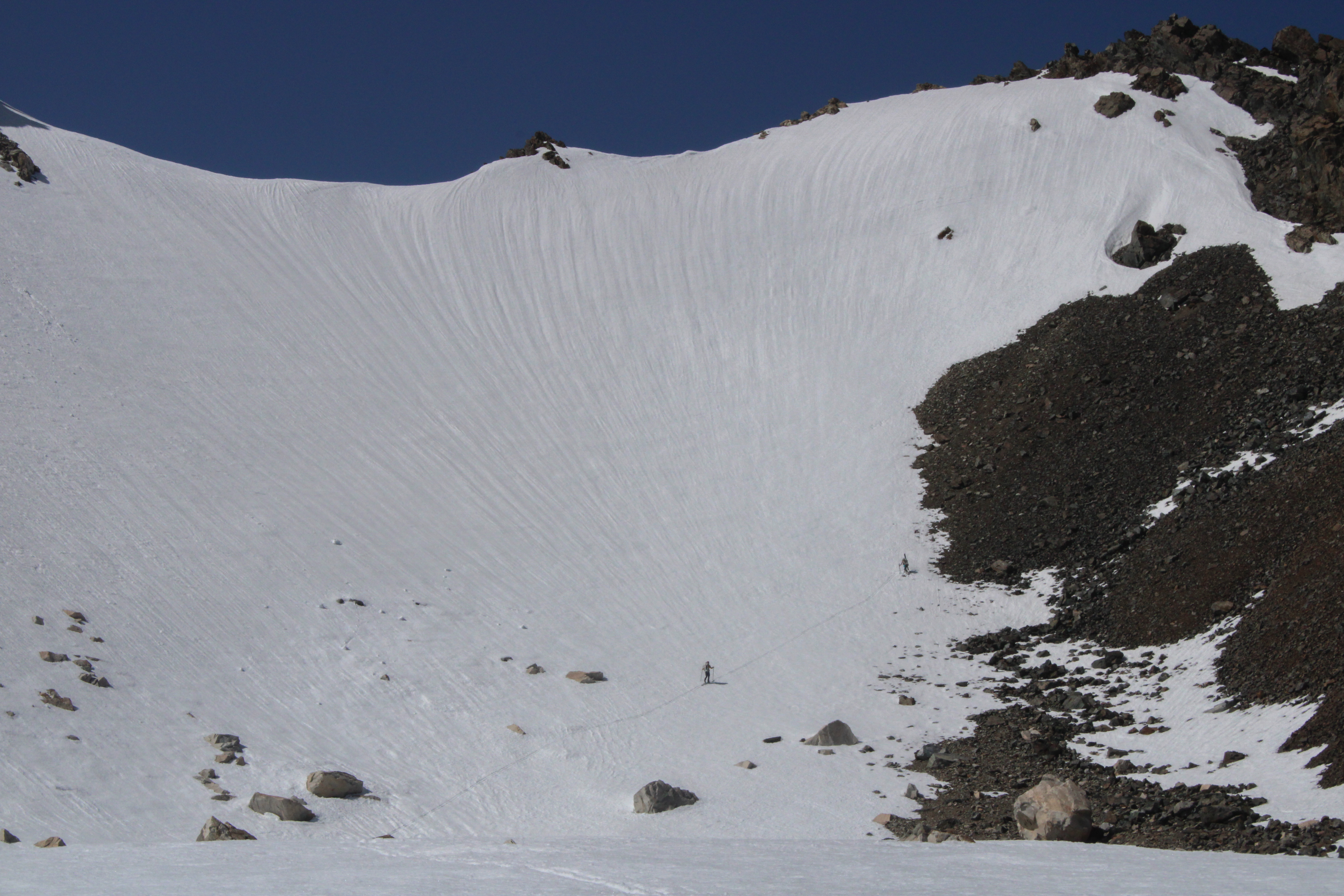 A neat perspective of Sky Pilot Col achieved by being dropped.
 Looking back towards Mt. Dana.
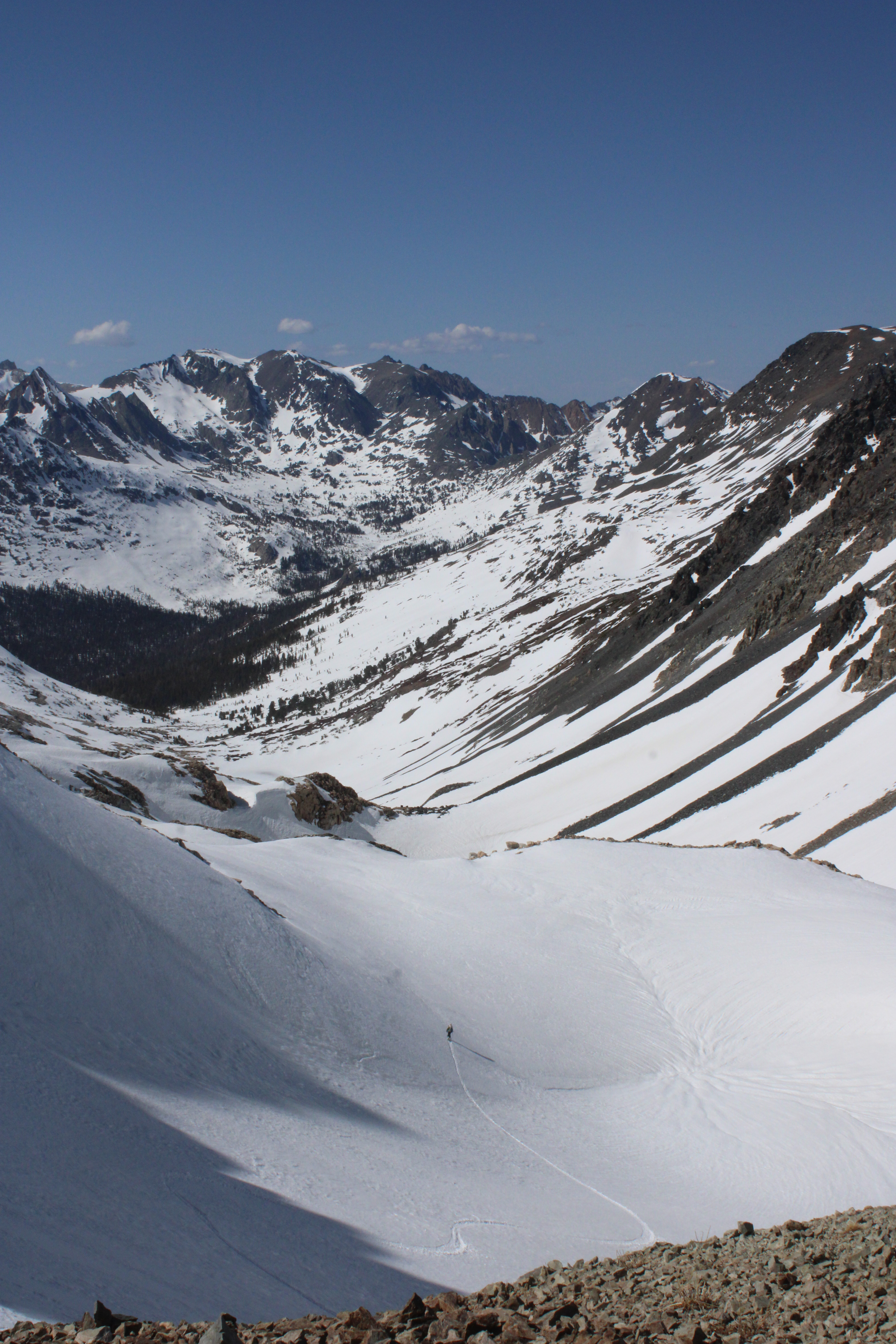 Nahla descends towards Return Creek.
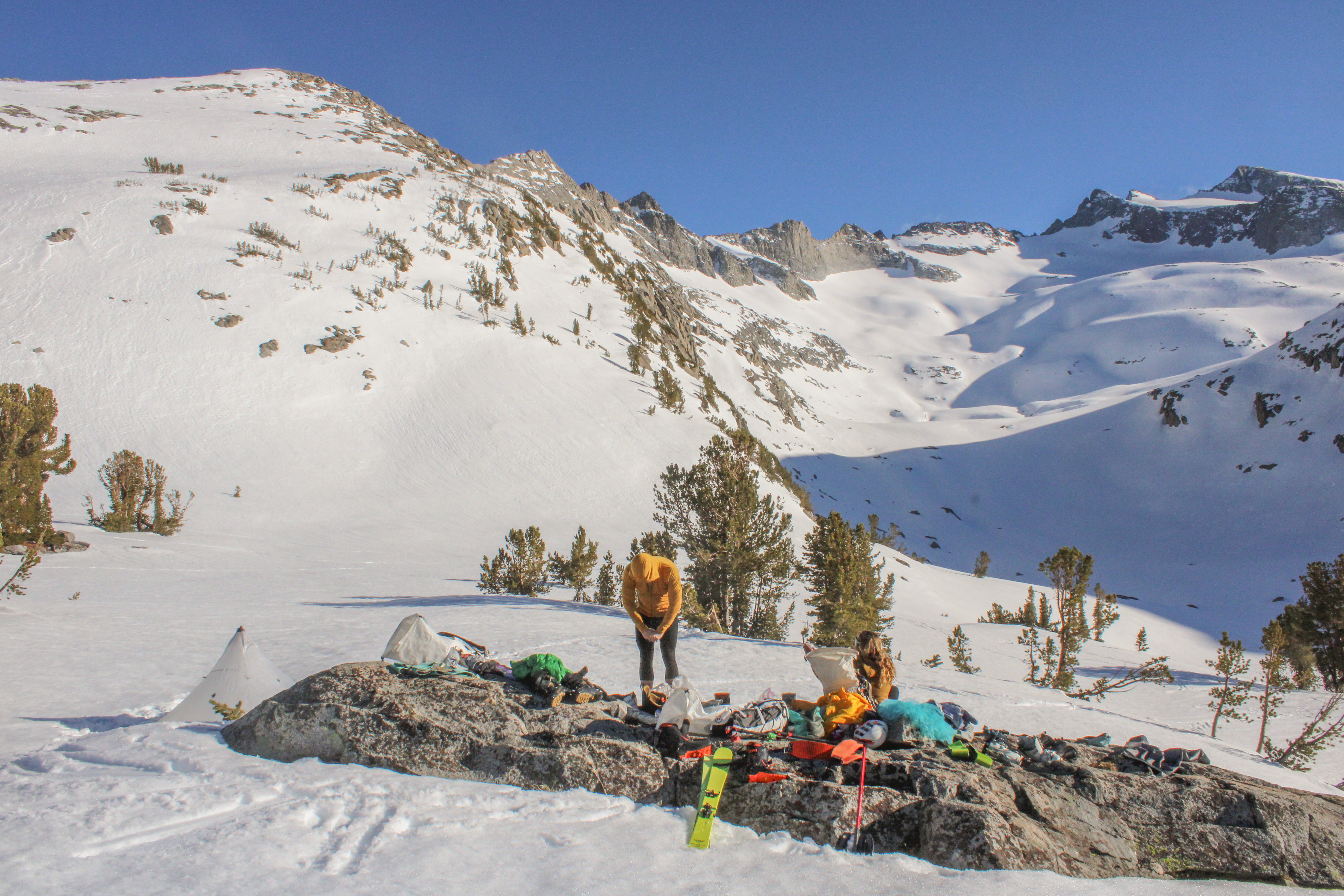
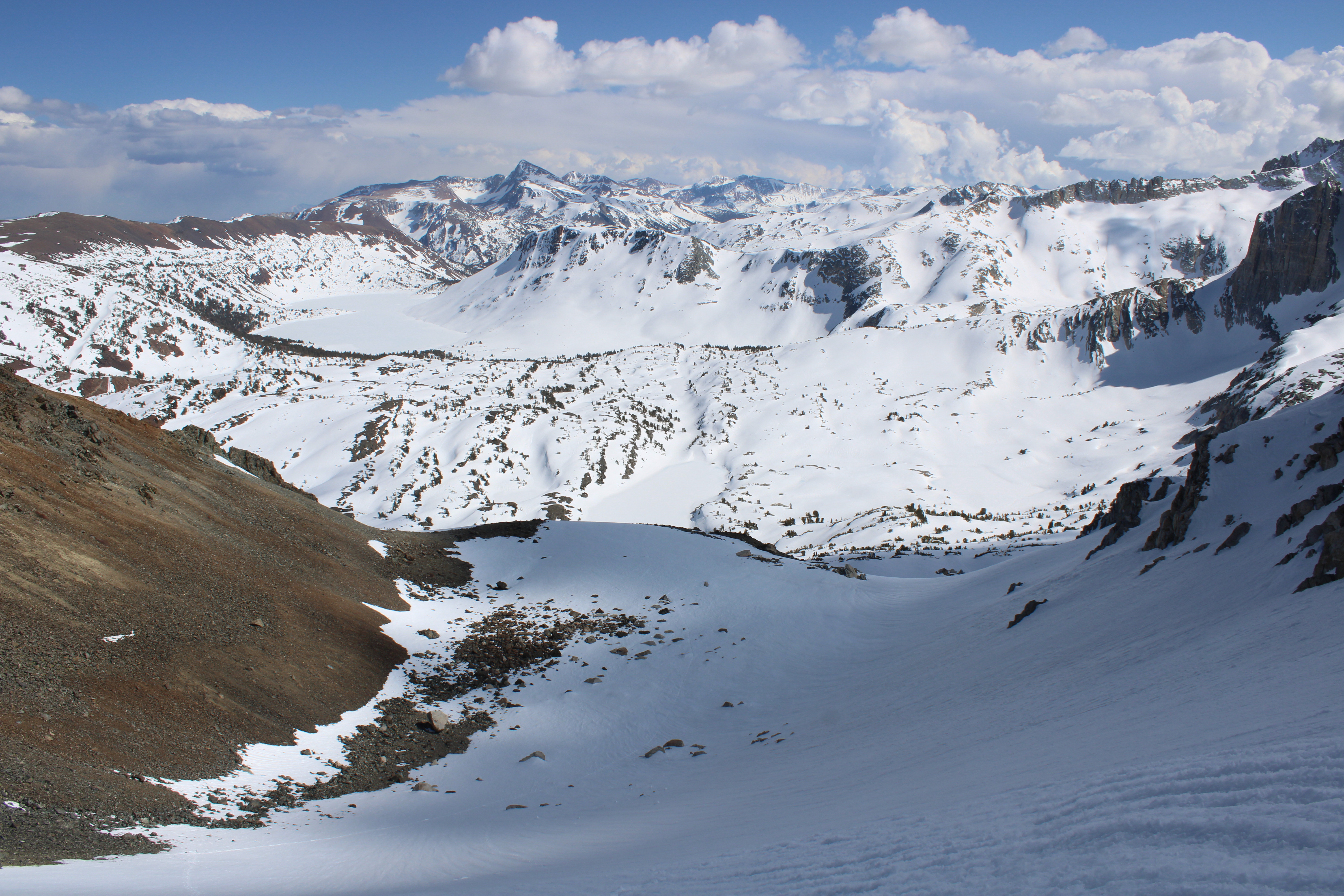
We paused briefly at Return creek to fill up bottles, and then put skins on to climb a couple hundred feet until we had a nice view back towards Shepard’s Crest and had a position that would receive slightly earlier morning light.
Day 5: Return Creek → Twin Lakes Resort
The three of us recently returned from the Bow Yoho Traverse in Canada which we all agreed could have been twice as long and still enjoyable. That was not the case on this traverse. As the last day dawned I lay in my sleep bag thinking how nice it would be to sit in a car with the ability to regulate the environment with buttons, to eat a burger at Mammoth Brewing, and to be out of the damn sun that comes from all angles during the day.
But first, we had to get across Stanton Pass, which looked, based on the purple streaks in the slope angle shading on Caltopo, to be the crux of the trip. We were worried that the pass might be melted out, or corniced, or otherwise challenging.
The climb turned out to be a reasonable straightforward boot, no crampons needed.
The descent was indeed partially melted out. We were able to scramble down the first part with packs, and then for the last pitch above the snow decided to pass packs and skis down separately. It was a good plan but we made the error of not quite positioning ourselves correctly and as a result after I passed Nahla her pack she was unable to quite downclimb while holding on to the pack and it slipped through her grasp. We all watched as it cartwheeled for about 500ft until it came to rest.
 Moments before disaster.
We were more careful with the rest of our gear, and after a bit of faffing we all safely skied down to where the backpack had stopped. Fortunately nothing appeared damaged! We ate lunch and then had a nice, long low angle 600ft climb up to Horse Creek Pass. This was our last climb of the trip!
Once over the pass, Sam and Nahla decided to rip a BN for the last descent of the trip. I decided to do my part and take photos.
 About to harvest corn and 5000 G.N.A.R. points.
We were able to keep skis on until 8,000ft. From there it was a very pleasant stroll out on the Horse Creek Trail.
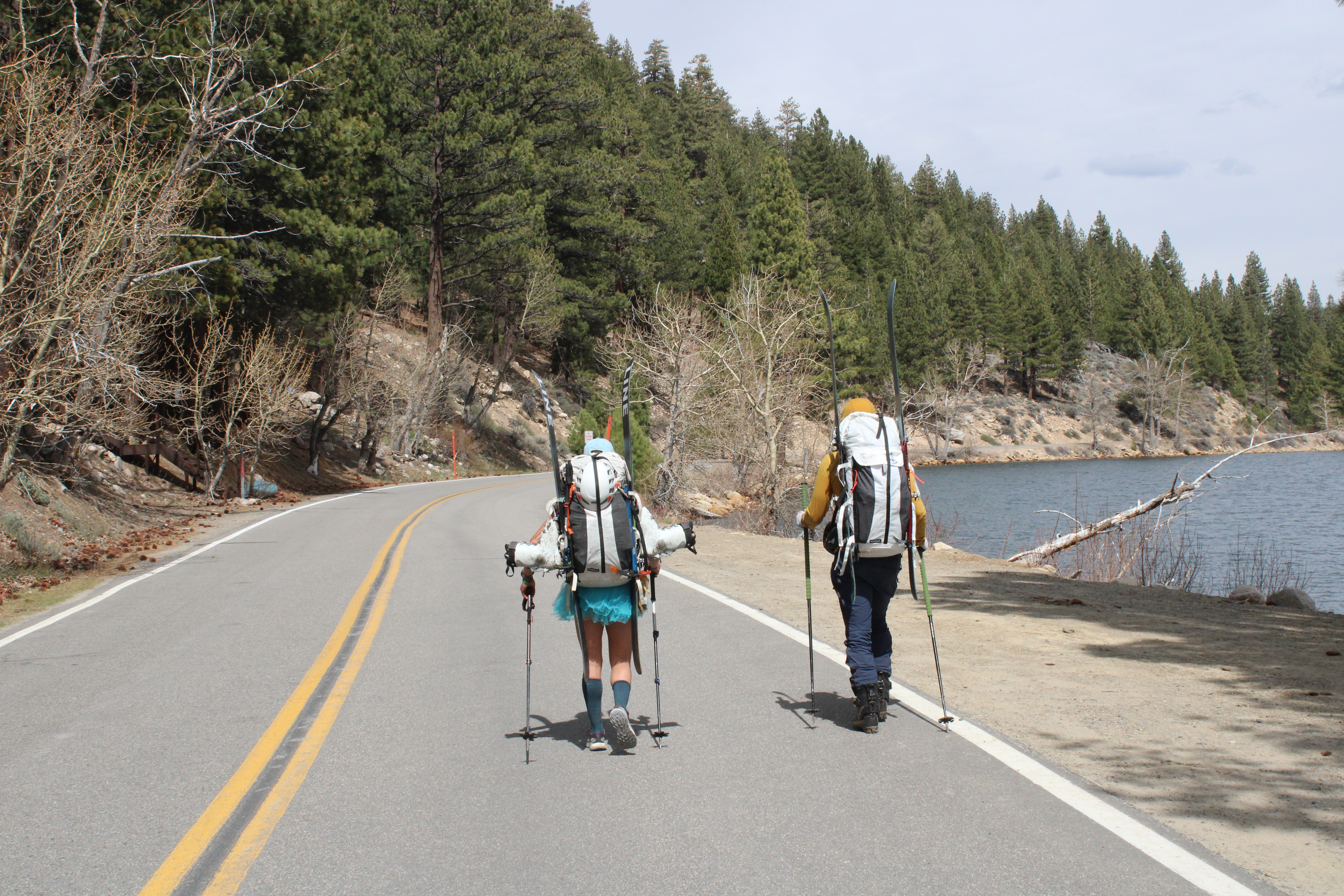 And back to the car!
General Notes
Stats
- Distance: 74 miles
- Vert ascended: 19k feet
- Number of times ski crampon used: 1
- Number of times boot crampon used: 0
- Number of times ice axe used: 1 (plus as tent stakes)
Maps
Serious Takeaways
- Cut toenails before the trip.
- Don’t bring a Jetboil stabilizer. In fact, throw away the Jetboil stabilizer. Propane cans are plenty stable.
- 180g of oats is all Sam can eat (packed 210g for this trip).
- 2L water capacity is good, with at least 1L in a Nalgene for hot liquids.
- South -> North is nice because it means the sun is at your back.
- The Sierras are high enough that a single acclimation day (at least for me) before the trip would have been helpful.
- Breaking camp quickly moving before breakfast does not make a lot of sense in a group of three on a ski traverse. Better to eat breakfast in camp and have the faster bag packers prepare the boiling water.
Open Questions:
- What is the best place to rehydrate meals? (We concluded Stasher bags are a workable but not ideal solution.)
- Better sunscreen for the face? Sam suggests Hero Force Shield Mineral Sunscreen.