Ptarmigan Traverse
Published:
With two days off work for July 4th, Mary and I decided to backpack the Ptarmigan traverse, a route our friend Wyatt Mullen recommended.
We departed at 5:30 AM on Thursday morning from our house in Seattle and drove two hours to drop bikes at the Downey Creek Trailhead (the route is a point-to-point, and it was my brilliant idea to turn it into a loop with our bikes). Then we drove another 2 hours to the El Dorado Trailhead which is currently as far as the Cascade Pass Road is open due to spring mud slides.
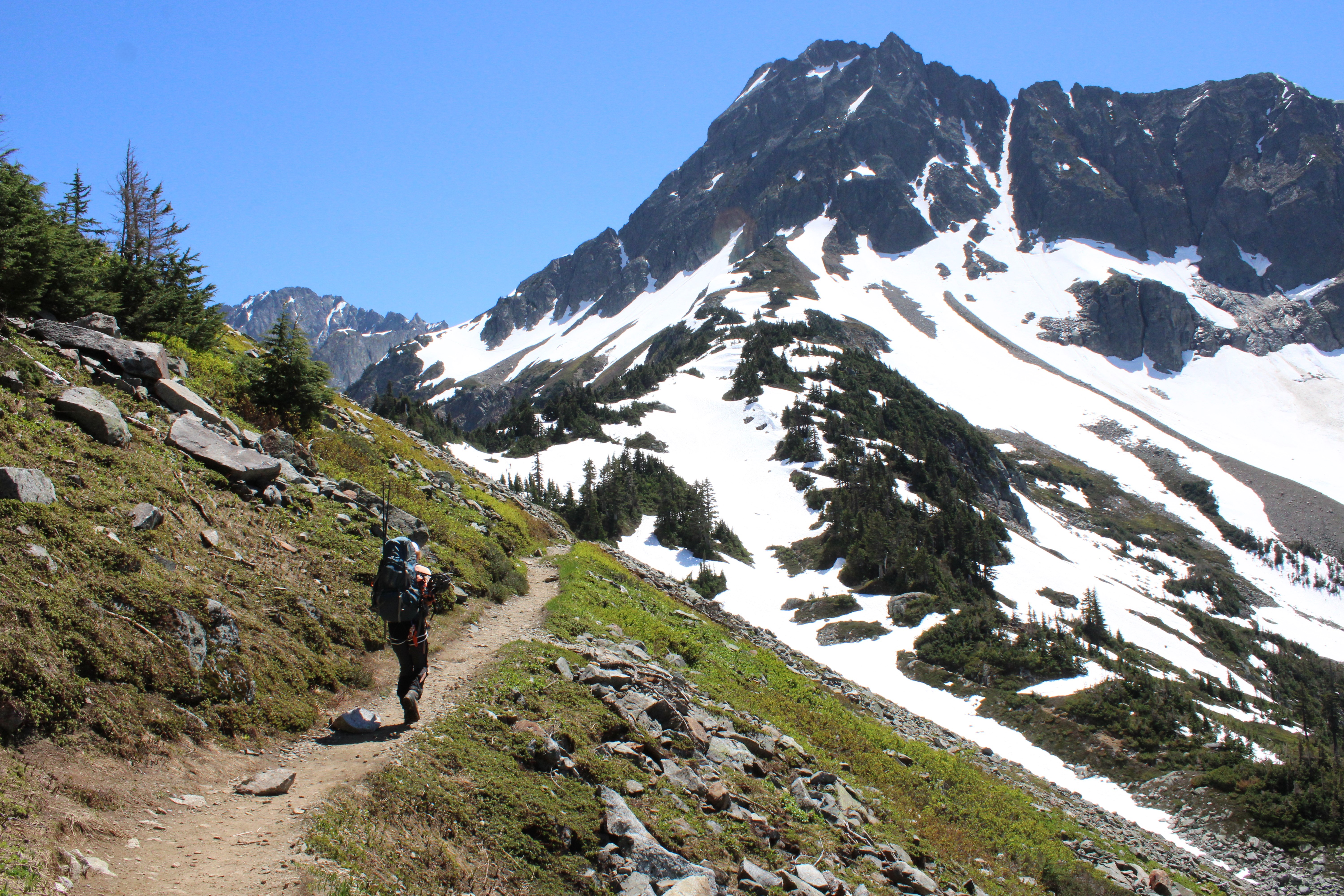
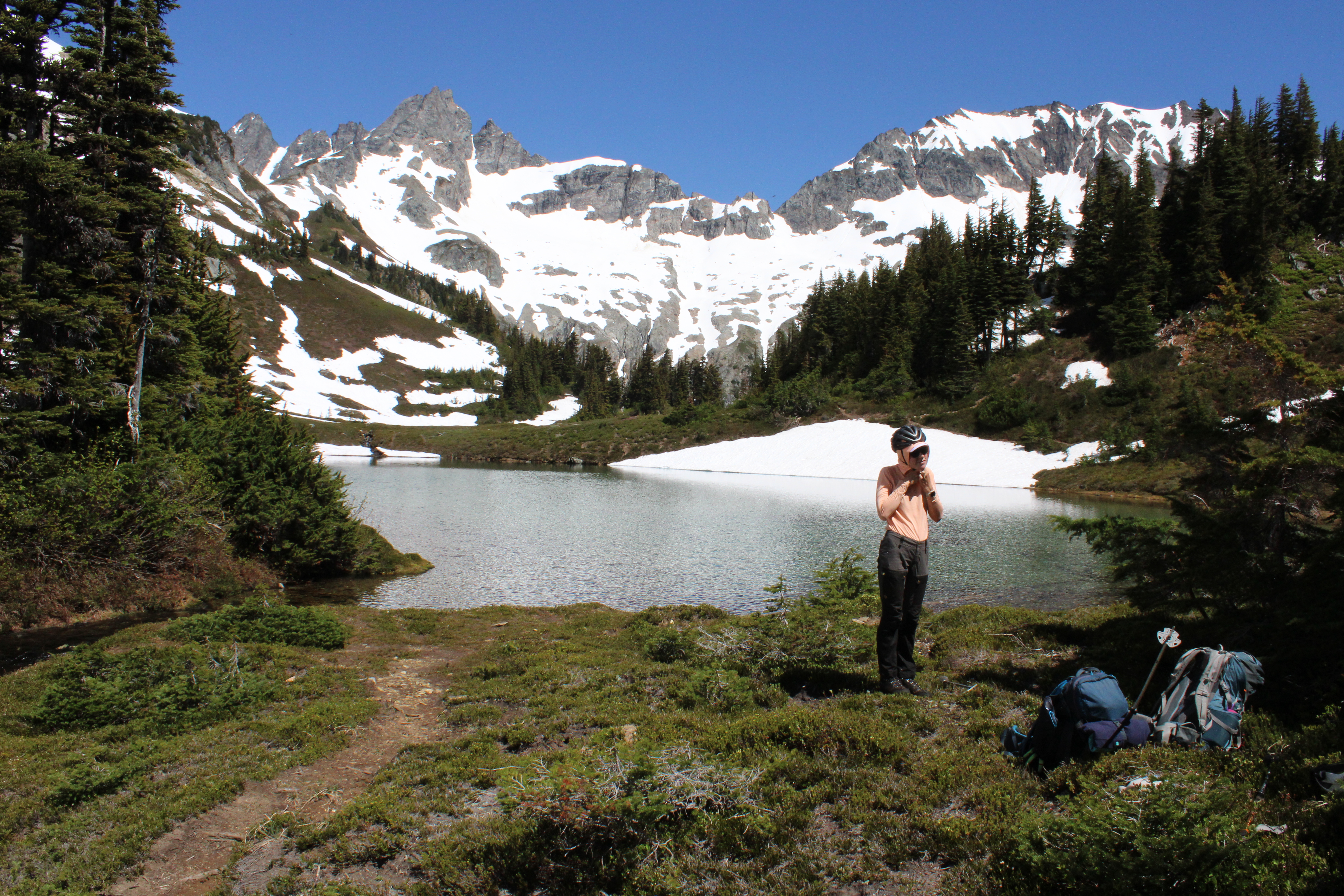
The first couple of miles up to Cascade Pass was easy walking. Once we departed from the trail the travel became a little more exciting. Mary hasn’t spend a ton of time walking on steep snow, and was a little nervous about the traverses across slopes ranging from 30-35 degrees.
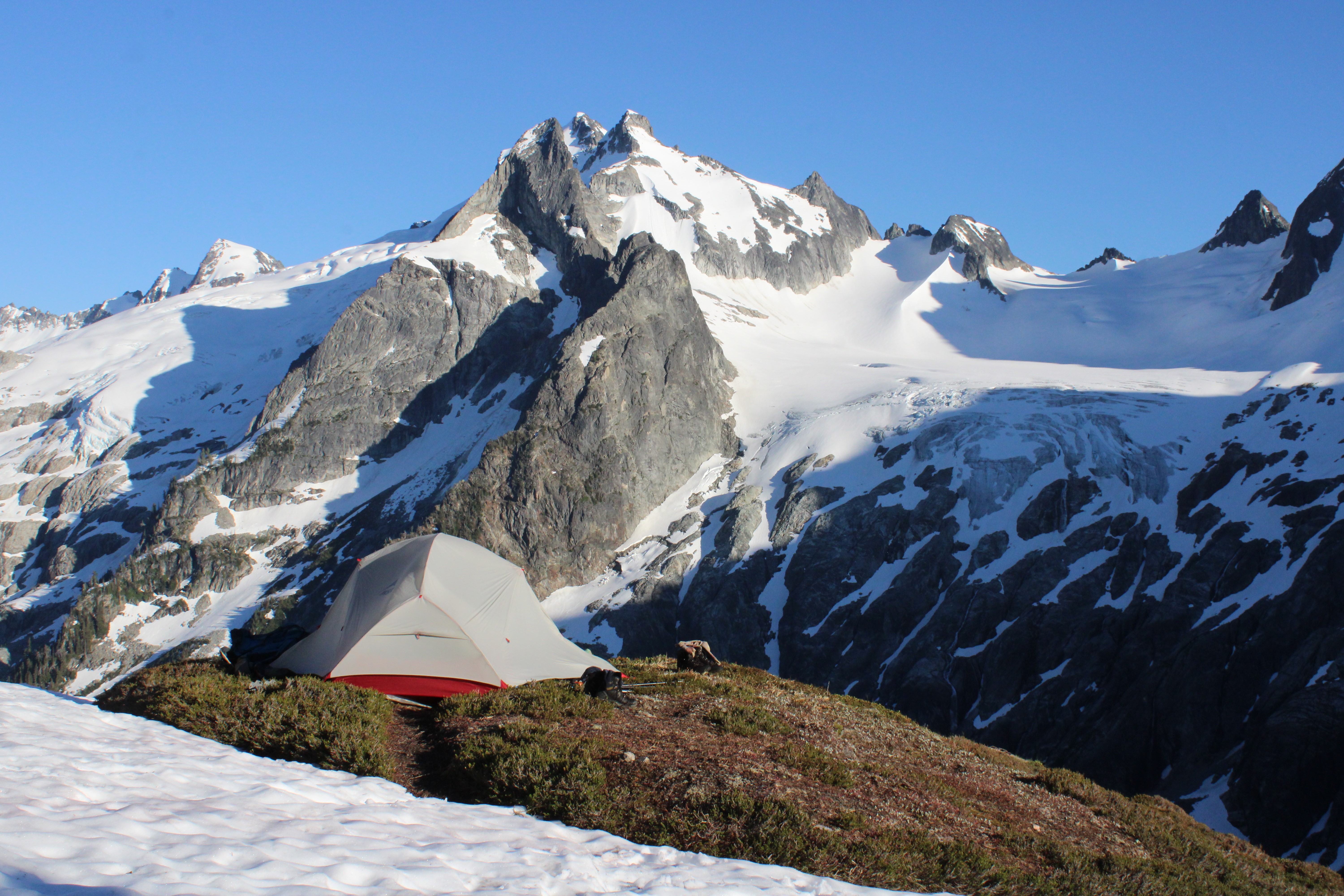
But we kept moving and made it over the top of Kache Glacier, and dropped down to Kool Aid lake where we camped.
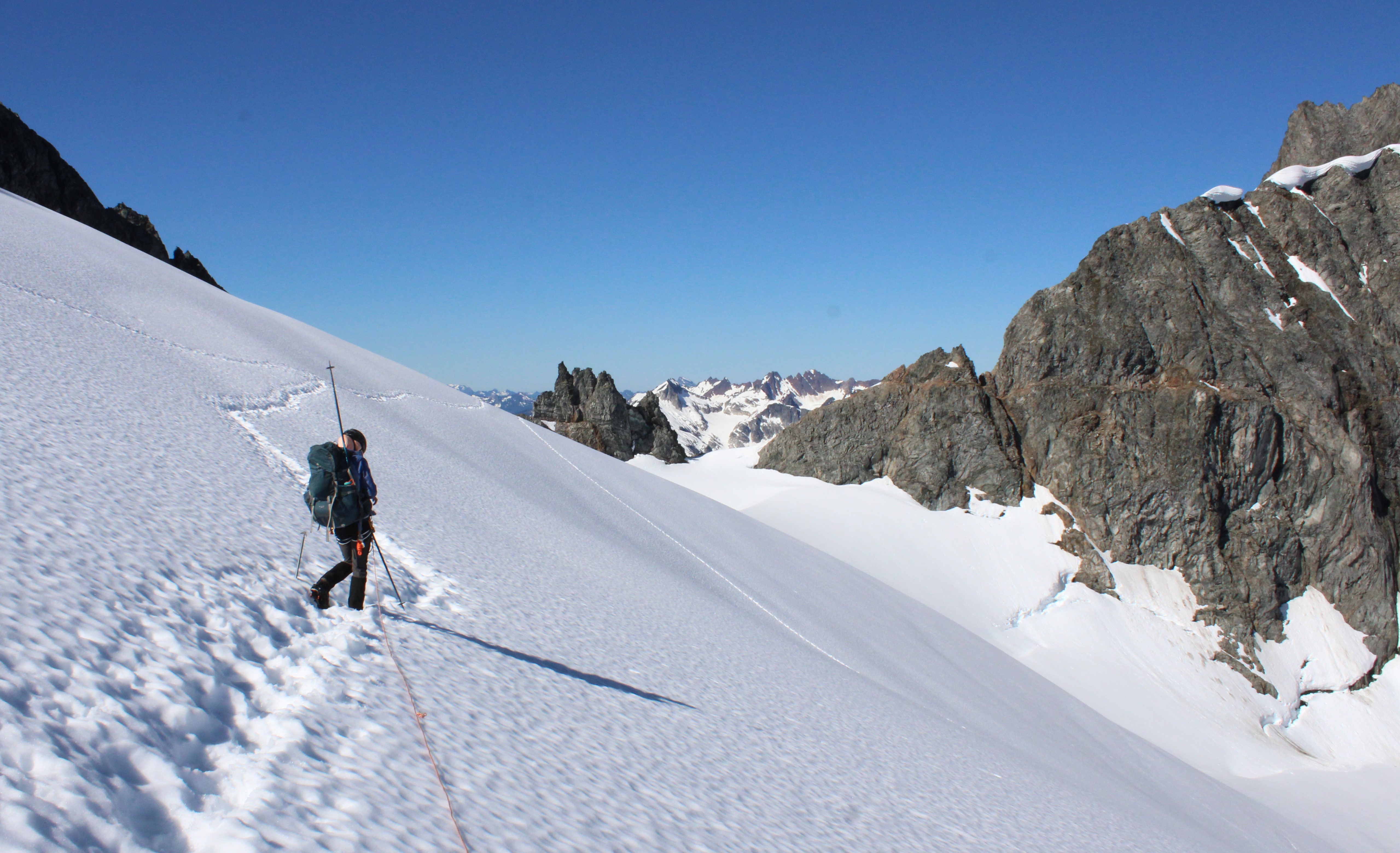
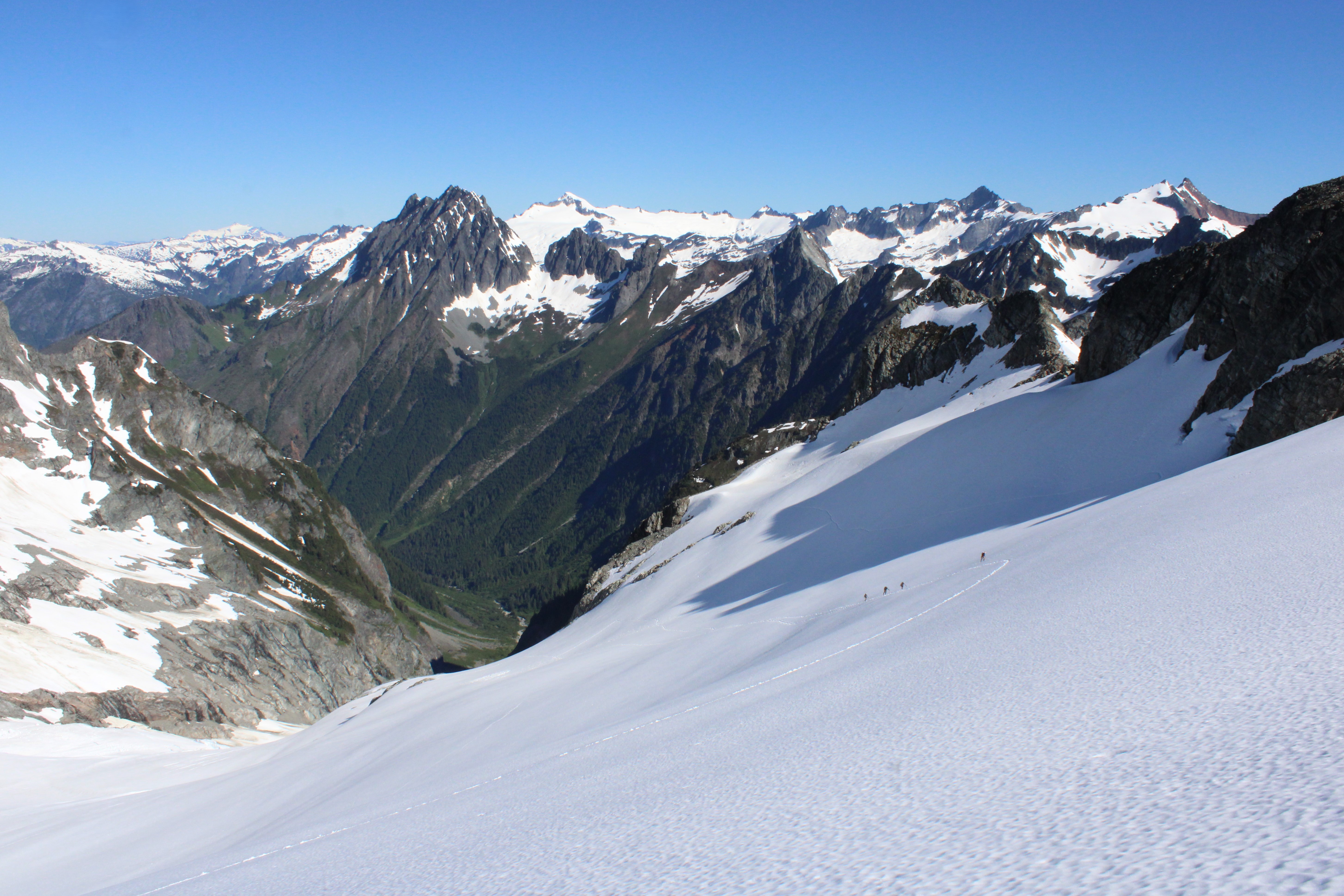
The next morning we began moving at about 5:30 and spent about 3.5 hours traversing and climbing up to the top of Middle Cascade Glacier. The glacier was very filled in with no visible crevasses, but we roped up for practice.
It was as we approached our high point on Middle Cascade Glacier that we saw four people behind us, moving very well. It turned out the we knew two of them from Cowgill. They were doing the Ptarmigan Traverse in a day. They offered to drive our car back to Rockport, which I rejected out of concern for the added logistics hassle of figuring out where they parked the Prius and stashed the keys. Ken offered us homemade chocolate chip cookies which we did accept and were very good. I later regretted not taking them up on the car moving offer. We descended the steep chute on the other side of Middle Cascade Glacier, and the boys quickly got ahead of us.
We continued on down to Yang Yang Lakes. The sun was very strong on this trip and there was not a cloud in the sky. We found a spot in the shade of one of the trees near the lake and ate breakfast. Mary’s spirits improved with the oat consumption. Wyatt recommended against camping at Yang Yang Lakes as the views are not as good and there may (at times) be bad bugs.
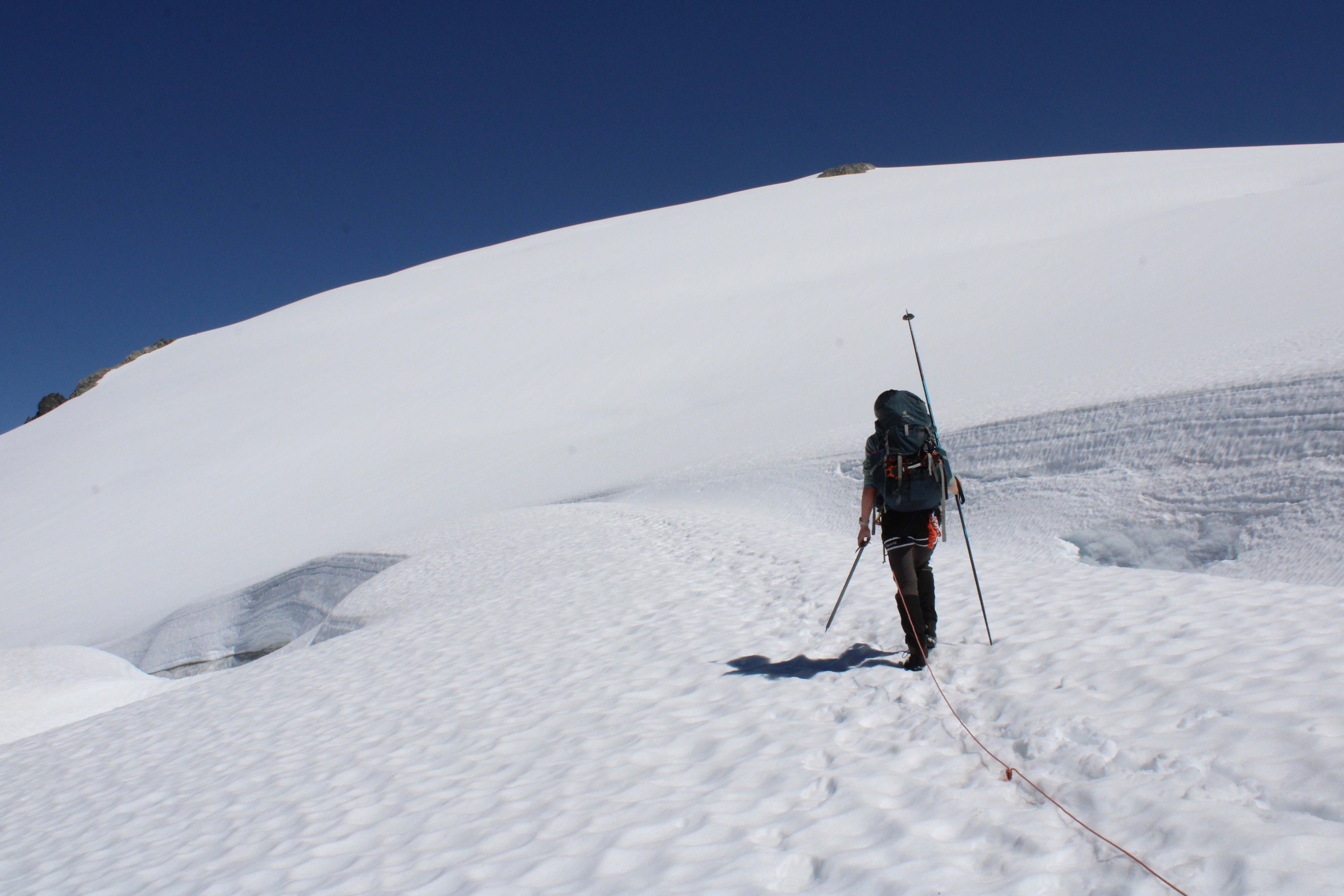
After breakfast/lunch we continued on to the La Conte glacier. The glacier made for very nice low angle walking and the snow bridges were still (apparently) quite solid.
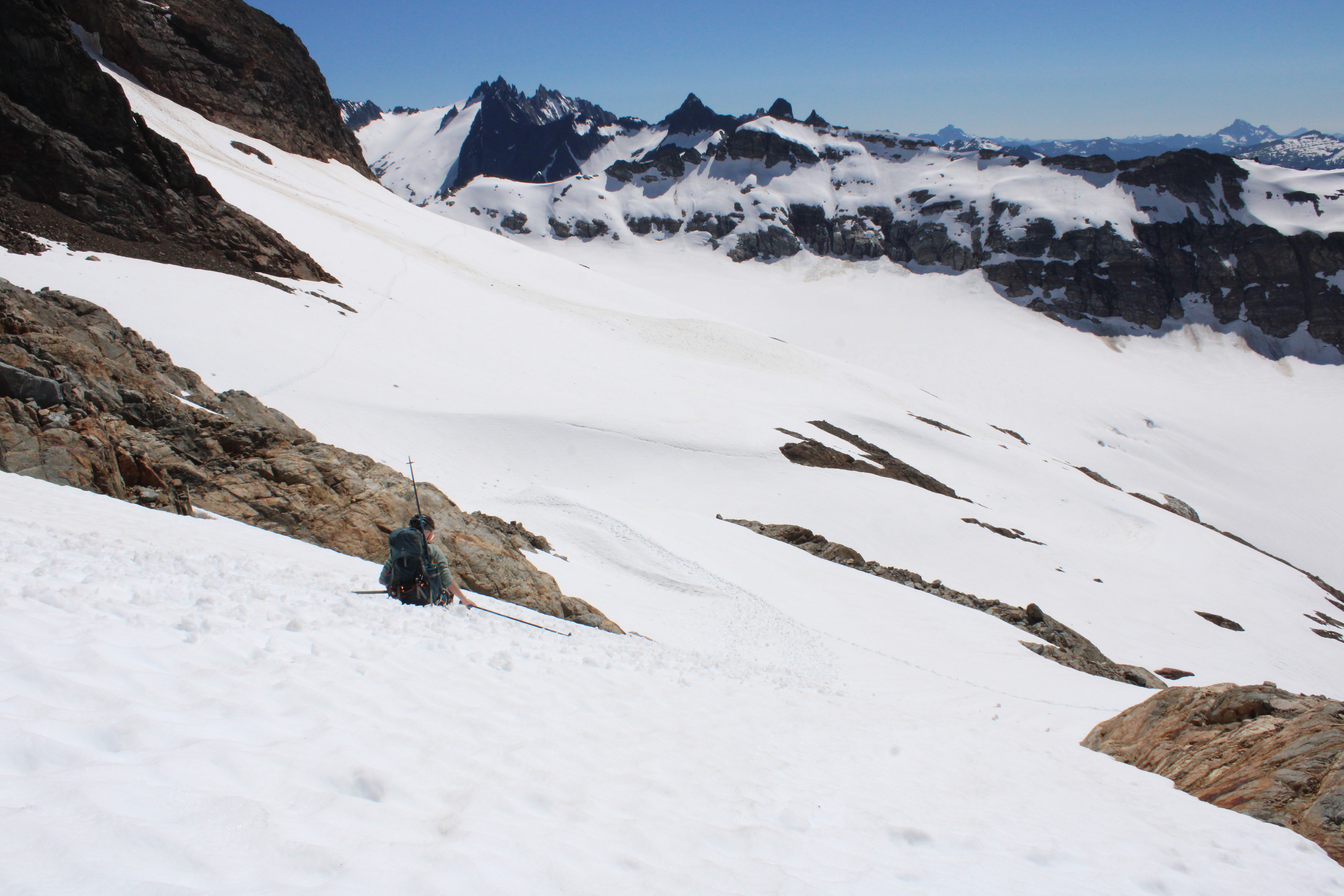
After traversing the top of South Cascade Glacier, we descended down towards towards White Rocks Lake.
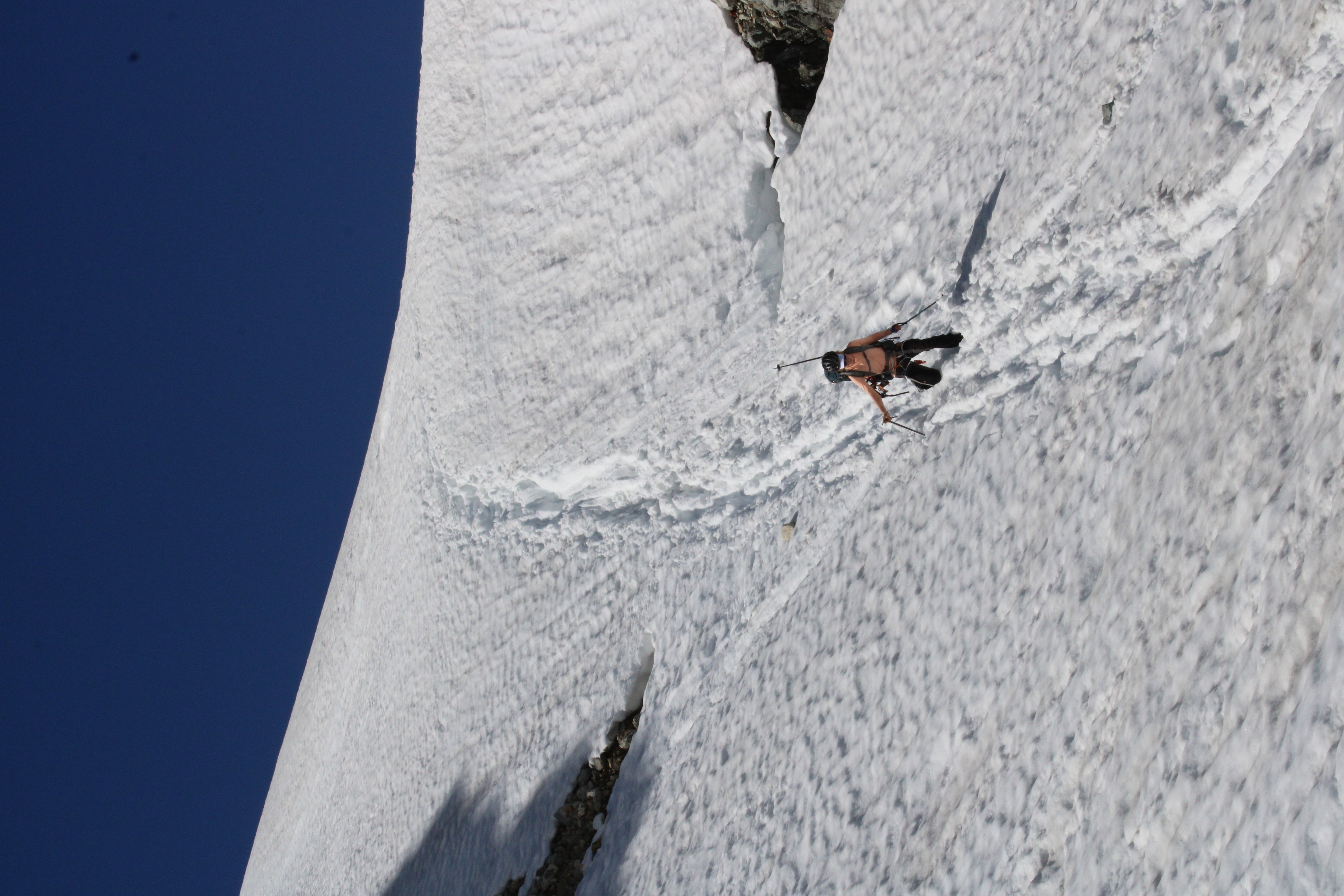
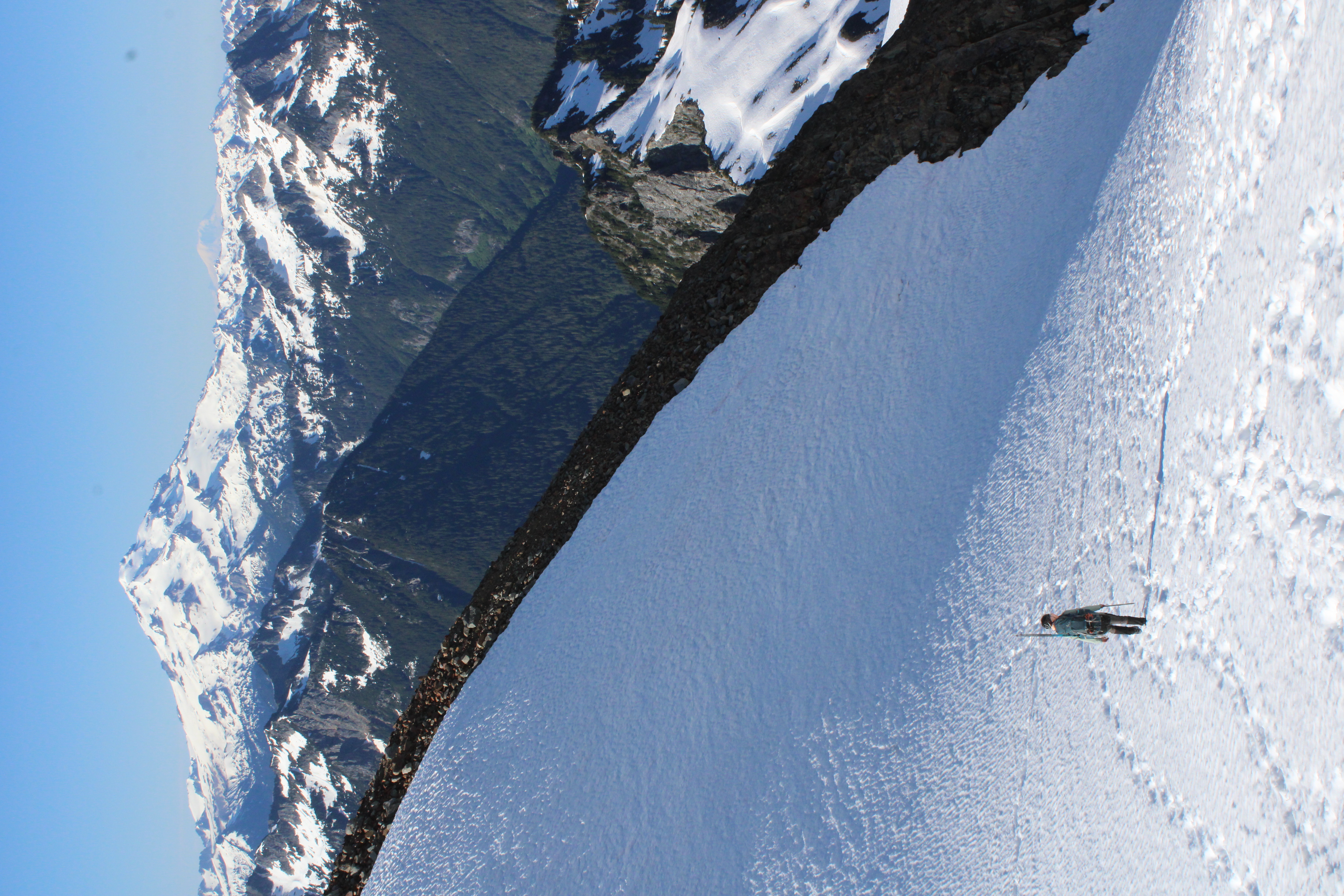
 Mary applying the classic butt slide to descend down towards the South Cascade glacier.
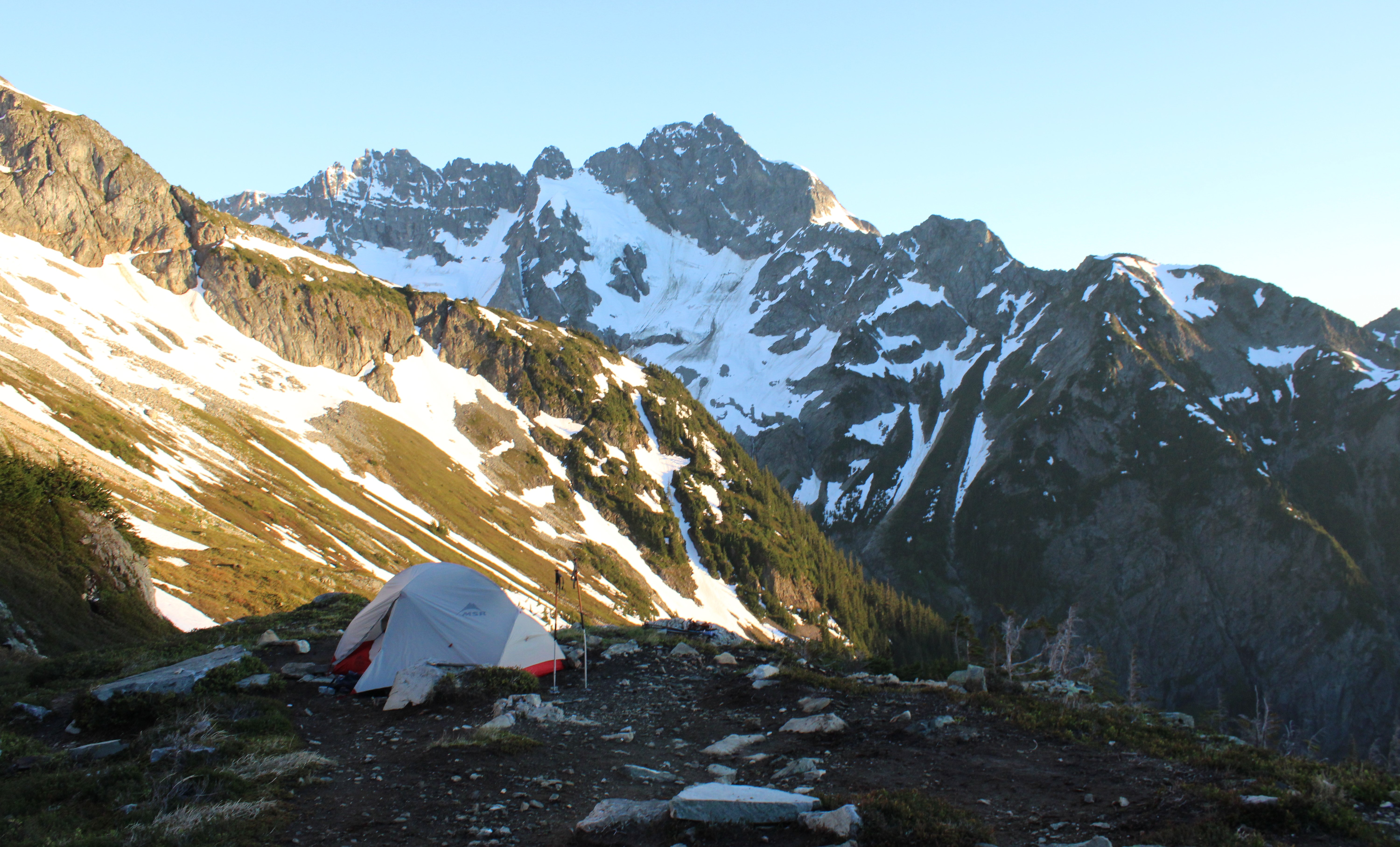
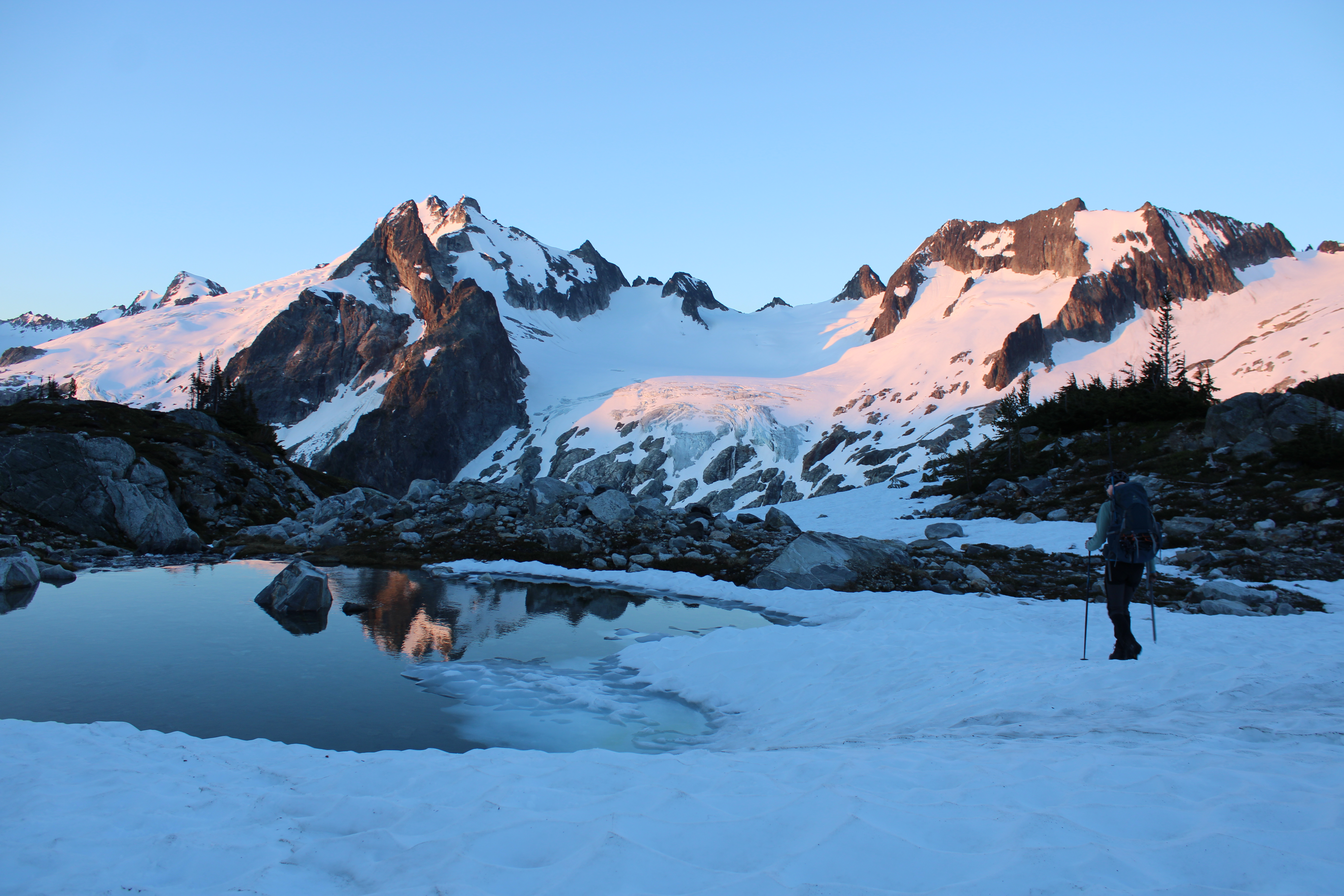
 White Rocks Lake provides a very nice view towards Dome Peak.
The next morning we were moving at 5:15 AM with the hope to complete part of the bike shuttle that evening. There was enough light to get one more picture of White Rocks Lake before heading towards the Dana Glacier.
Once we made it to the pass at the top of Dana Glacier we had a great view looking out towards Glacier Peak and Mount Baker. From the past we dropped down to Club Lake and below the snow line. We ate breakfast at the lake in the only shaded area we could find, which was on the trail on a bit of a steep face on the east side of the lake. I was not being careful and let my helmet roll down into the lake. Fortunately with the use of a ski pole I was able to recover the helmet without getting my feet wet.
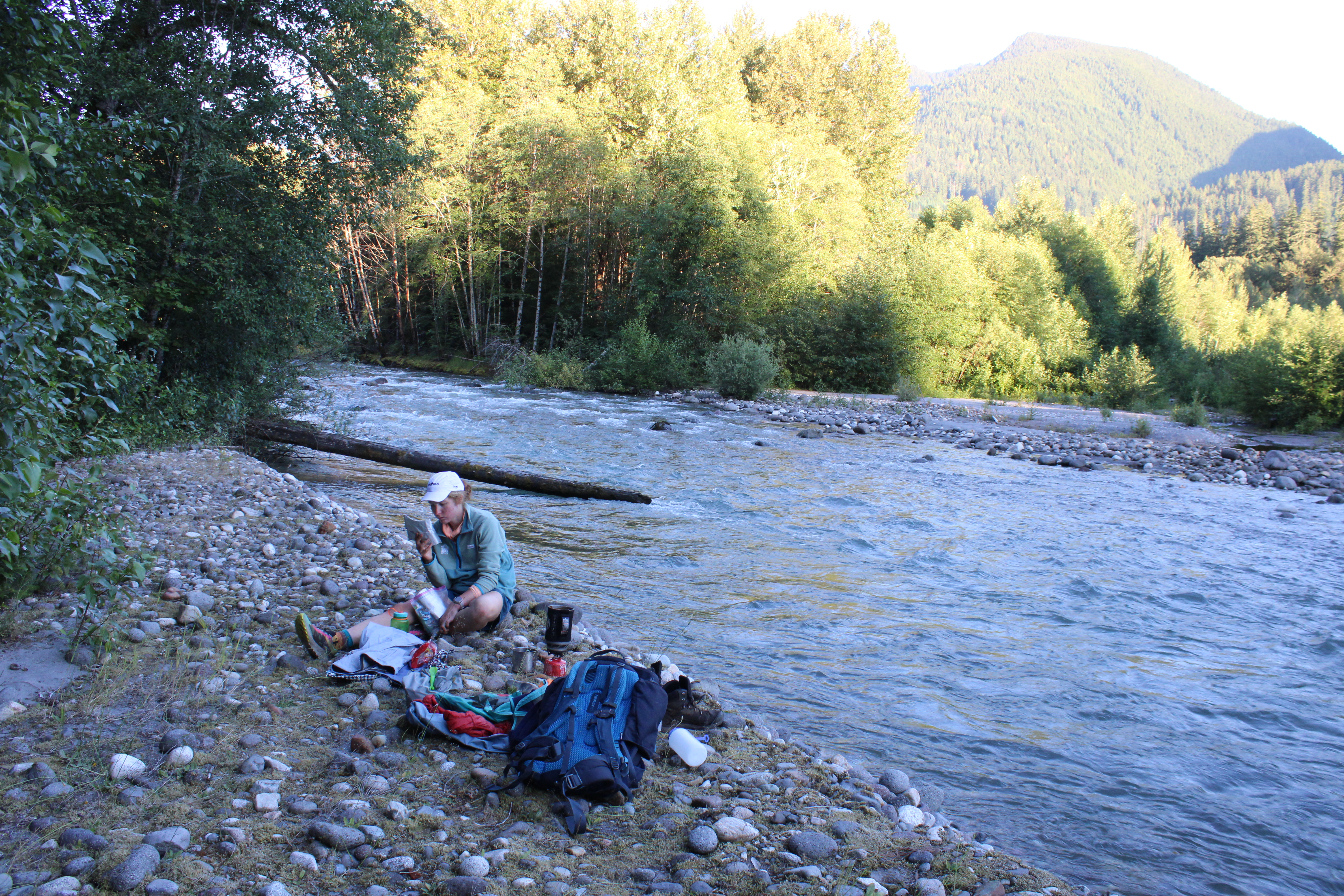
The hike out from Cup Lake was reasonably long. The bush-whacking was not as bad as it could have been and someone had gone to some effort to mark the trail with pink flags. All the same we did not arrive at the trailhead until about 6 PM. We then biked down the hill for a little less than an hour and found a spot to pitch the tent and ate dinner next to the river.
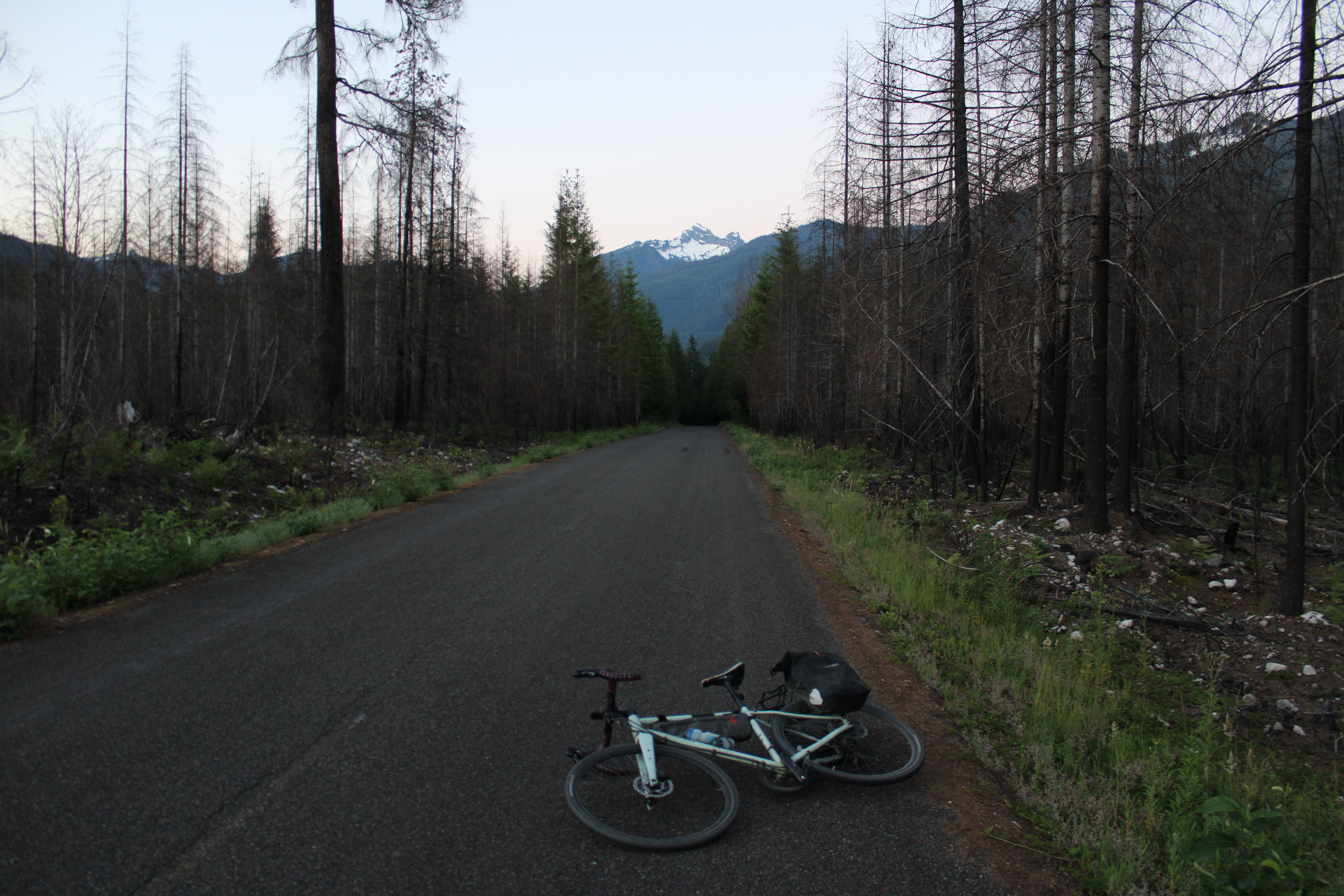
The next morning I woke up at 4:15 AM and biked back to the car. The road was dirt for the first five miles below our campsite and then turned to pavement. I was able to make it to the intersection with 530 (the road between Rockport and Darrington) in about 50 minutes. I made it to Marblemount in about two hours and bought a muffin + cream cheese bagel + breakfast sandwich (pre-made frozen and reheated) for 16 dollars. Than I peddled up the Cascade Pass Road for about two hours and 18 miles or so. I had loosely planned to try to hitchhike, but with all of the two or three cars that passed I did not make my hitchhiking intentions clear enough. A thumbs up looks a lot like “good job” rather than “I need a ride”. That was okay though. I felt pretty good and the riding was quite scenic and I basically had the road to myself. I made it back to pick Mary up at 10 AM.
Leave a Comment
Your email address will not be published. Required fields are marked *